


Image: AI-Skymet
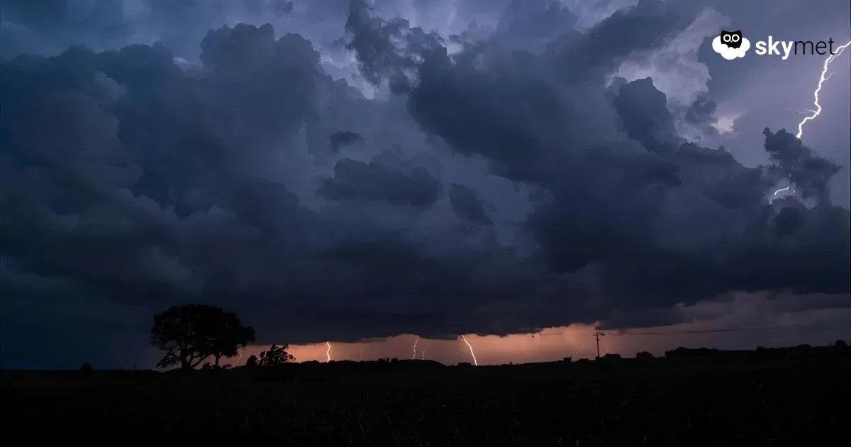
In its last phase, the monsoon is likely to become active over the eastern states of the country. More so, Bihar, Jharkhand, and East Uttar Pradesh will have a good spread of monsoon showers over the next three days. Rains will go on even thereafter, albeit with reduced intensity and spread. The Seemanchal region of Bihar and the foothills of East Uttar Pradesh will be at risk of heavy rains during this period.
Bihar and East Uttar Pradesh have mostly remained rain-deficit during the current season. As on date, Bihar has a deficiency of 30% and East Uttar Pradesh has incurred a shortfall of 17% rainfall. Monsoon is in its receding leg and the intensity of rains over these parts will also reduce after this bout of rains. The likely wet spell will reduce the margin of scantiness and raise hope for the farmers. The state of Jharkhand is placed well and has a seasonal surplus of 20% rainfall.
An east-west trough is extending from West Uttar Pradesh to Northwest Bengal, across East Uttar Pradesh and Bihar. Two circulations are embedded in this feature: one each over Central Uttar Pradesh and East Bihar. The remnant circulation of low pressure over Vidarbha and Madhya Pradesh may also join and get absorbed to strengthen the elongated trough across the Indo-Gangetic plains.
The various locations for heavy rainfall during the next three days are as follows:
Bihar: Kishanganj, Araria, Purnea, Katihar, Madhepura, Supaul, Forbesganj, Darbhanga, Madhubani, Saharsa, Muzaffarpur, Champaran, Sitamarhi.
Uttar Pradesh: Maharajganj, Deoria, Gorakhpur, Gonda, Balrampur, Bahraich, Faizabad, Sultanpur.
Jharkhand: Deoghar, Dumka, Dhanbad, Bokaro, Ranchi, Hazaribagh, Garhwa, Palamu.
Other parts of these states will also have scattered monsoon showers during this period. Monsoon withdrawal from these parts is unlikely before the fag end of September. It may even roll over to the first week of October as well.


