Dry Weather Conditions Next Two Weeks For Delhi: Cold Wave Unlikely

Key Takeaways
- Delhi has experienced a gradual rise in minimum temperatures over the last four days, reaching 9.2°C at Safdarjung.
- No active western disturbances have influenced North India yet, preventing cold waves and typical winter fog.
- The westerly jet stream is strong, but conditions remain unfavourable for a sudden influx of frigid winds.
- Delhi will stay mildly cold with minimums between 7–9°C and warm afternoons around the mid-20s.
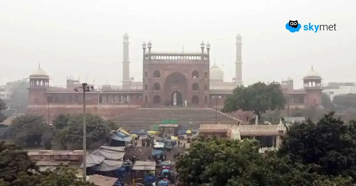
The national capital is getting away with mild cold so far this season. Though the minimum temperature in December has stayed below normal, it has only been marginally so. In fact, there has been a steady rise in minimum temperatures for the last four days. Base station Safdarjung recorded a low of 9.2°C this morning, the highest this month between 1st and 9th December. The minimum is still below normal by a whisker, but it has risen by about 3.6°C over the last four days. The observatory has recorded the lowest of 5.6°C so far on 4th and 5th December 2025.
As per pentad normals, the month starts with a minimum of about 10°C in the first week and reaches 7°C at the fag end of the month. Over the last three years, the lowest for December has hovered between 4.5°C and 5°C, generally during the second half of the month. No sharp drop or rise in minimum temperatures is likely during the next one week.
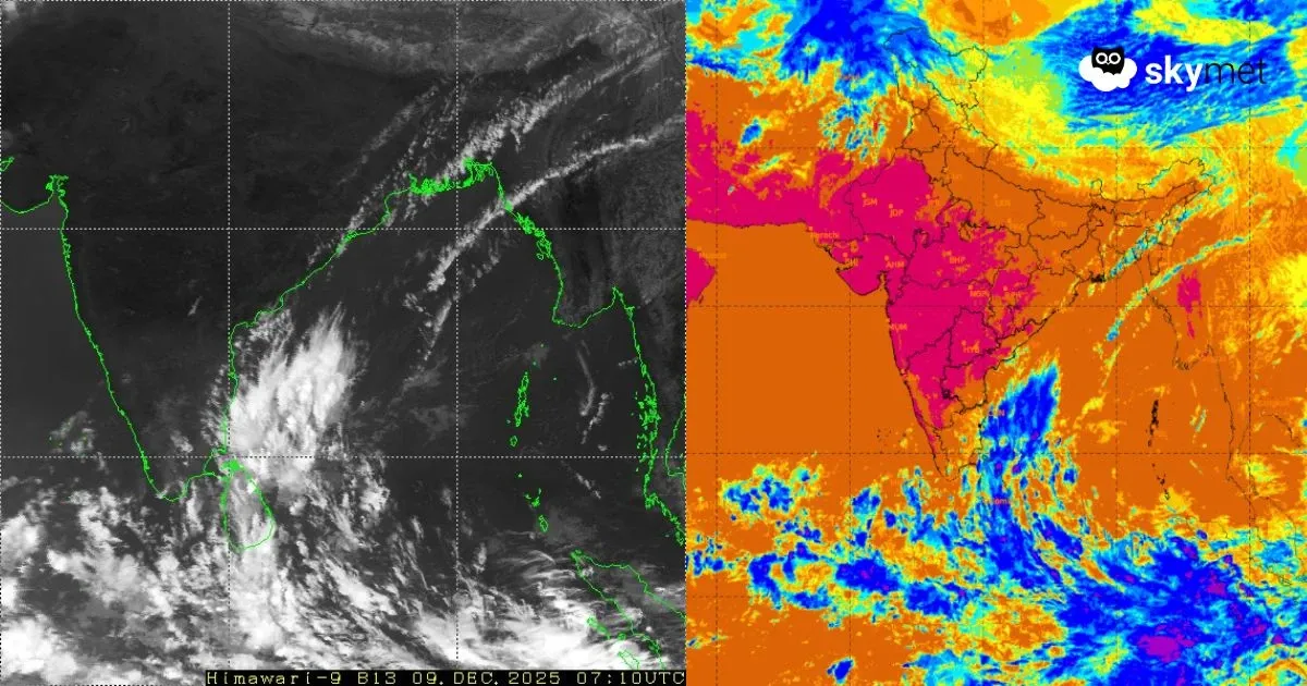
The capital city has missed the typical winter fog of the season so far. Only pollutants have been reducing visibility below 1,000 metres in the morning hours. Cold wave conditions and winter fog typically follow the passage of an active western disturbance, but none has yet moved across the mountains or the plains. The drop in temperatures over the northern plains and the national capital is only due to seasonal progression.
The westerly jet stream has been strengthening over the last few days. Its core currently features screaming winds in excess of 200 km/h between 35,000 and 40,000 feet. Any rupture in the wavy pattern of the jet can lead to a sweep of frigid winds into the lower levels. Such a situation can trigger a cold wave in the plains of North India, including Delhi/NCR. However, the chances remain remote. Neither dense fog nor a bitter cold wave is likely over Delhi during the next one week to ten days. Early mornings will continue to feel a bit chilly, but afternoons will remain pleasantly warm. Minimum temperatures will stay between 7°C and 9°C, while maximums are likely to settle around the mid-20s.