Weather update and forecast for December 06 across India


KEY TAKEAWAYS
- A western disturbance and multiple cyclonic circulations are influencing weather patterns across India.
- Southern states including Andhra Pradesh, Kerala, and Tamil Nadu received light to moderate rainfall in the last 24 hours.
- Cold wave conditions persisted in Punjab, Haryana, and parts of Rajasthan, with fog reported across northeast India and Bihar.
- The forecast indicates continued rainfall in the south, snowfall in the western Himalayas, and potential cold wave conditions across north India.
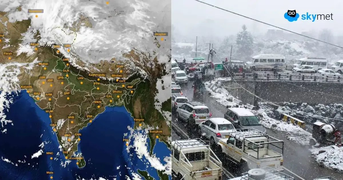
The weather system over the country:
The western disturbance as a cyclonic circulation over north Punjab and adjoining areas between 3.1 and 4.5 km above mean sea level persists.
The induced cyclonic circulation is over northwest Uttar Pradesh.
A cyclonic circulation is over east Bangladesh and adjoining Assam and Meghalaya.
Weather Activity in the last 24 hours:
During the last 24 hours, light to moderate rain with a few heavy spells occurred over south coastal Andhra Pradesh.
Light to moderate rain occurred over Tamil Nadu, Kerala, and Lakshadweep.
Light rain occurred over Rayalaseema.
Moderate to shallow fog occurred in northeast India.
Shallow fog occurred over Bihar and west Madhya Pradesh.
Cold wave conditions occurred over parts of Punjab, Haryana, and north Rajasthan.
Forecast for the next 24 hours:
During the next 24 hours, light to moderate rain may occur over the south coast of Andhra Pradesh, Kerala, and Tamil Nadu.
Light rain is possible over south Lakshadweep and the Andaman and Nicobar Islands.
Light rain and snowfall may occur over the upper reaches of Jammu & Kashmir, Ladakh, and Himachal Pradesh.
Cold wave conditions are possible over parts of Punjab, Haryana, Delhi, and Rajasthan.
Dense fog is possible over parts of northeast India.
Do not miss:
Any information picked from here must be attributed to Skymet!