Weather update and forecast for December 27 across India


KEY TAKEAWAYS
- Active Western Disturbances will influence weather over the Western Himalayas.
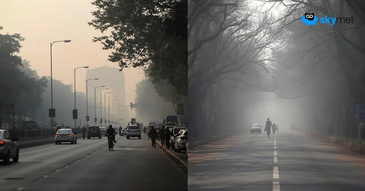
- Dense fog and frost conditions continue over northern plains.
- Rain and snowfall are likely across Himalayan states through the end of December.
- Temperatures may fall further over East and Northeast India.
The weather system over the country:
A Western Disturbance is positioned over North Pakistan and adjoining areas.
A fresh Western Disturbance is seen as a trough in the middle tropospheric westerly winds, with its axis at around 5.8 km above mean sea level, running roughly along longitude 64°E to the north of latitude 32°N.
The sub-tropical westerly jet stream, with core winds of the order of 125 knots at about 12.6 km above mean sea level, is prevailing over North India.
Weather Activity in the last 24 hours:
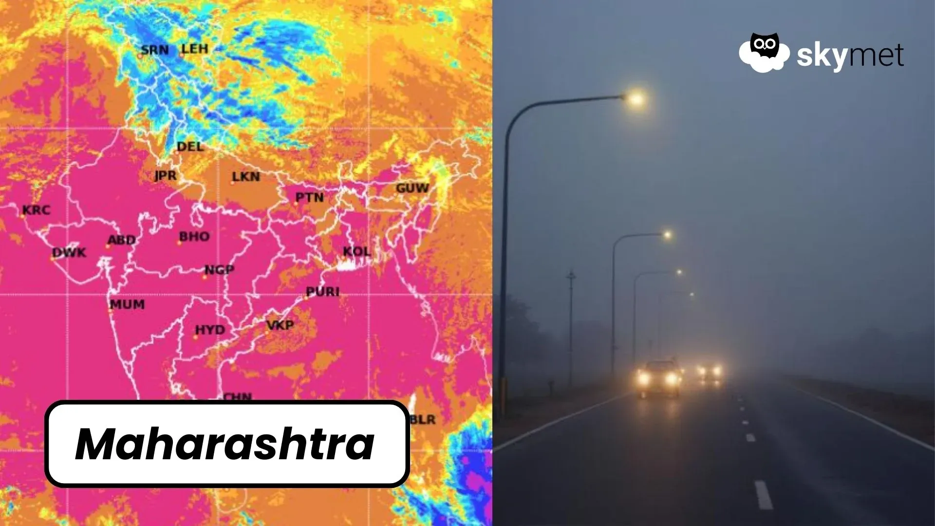
During the last 24 hours, dense to very dense fog occurred over Punjab, Uttar Pradesh, Bihar, and parts of Northeast India.
Moderate fog was observed over Uttarakhand.
Frost conditions occurred at many places in Rajasthan and in isolated pockets of Haryana.
Light rain was recorded over Tamil Nadu.
Forecast for the next 24 hours:
During the next 24 hours, scattered light to moderate rain and snowfall may occur over Jammu & Kashmir, Ladakh, Gilgit-Baltistan, and Muzaffarabad between December 27 and 31, and over Himachal Pradesh and Uttarakhand on December 26, 30, and 31.
Isolated thunderstorms with lightning and strong winds of 30–40 kmph may occur over the Andaman & Nicobar Islands between December 27 and 31.
Minimum temperatures may drop over East and Northeast India during the next 24 to 48 hours.
Do not miss:
Any information picked from here must be attributed to Skymet!