Skymet Weather Update June 10: Monsoon Advances Across West Coast, Thunderstorm Activity Likely Over North India

Representational Image: AI-Skymet
Key Takeaways:
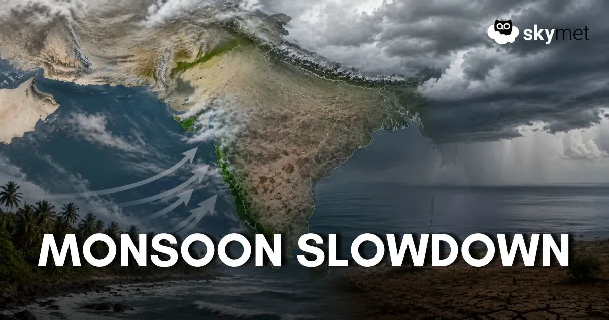
- Southwest Monsoon has advanced into more parts of Maharashtra, Karnataka, Andhra Pradesh, and Telangana.
- Heavy rainfall activity is likely along the West Coast and Northeast India.
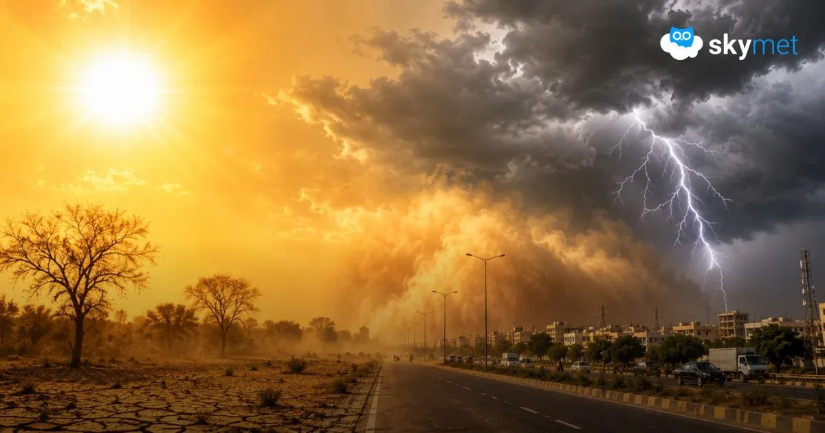
- Thunderstorm and dust storm activity may affect Delhi, Haryana, and West Uttar Pradesh.
- Heat wave conditions are likely to continue over parts of Rajasthan, Haryana, and Southwest Uttar Pradesh
The Weather Systems Over The Country
Monsoon has covered some more parts of Maharashtra, Karnataka, and Andhra Pradesh, and some parts of Telangana on June 8.
Conditions are favorable for further advance of the Southwest Monsoon into some more parts of the Central Arabian Sea, Maharashtra, Karnataka, Telangana, Andhra Pradesh, remaining parts of Tamil Nadu and Southwest Bay of Bengal, some more parts of West Central and Northwest Bay of Bengal, some parts of Chhattisgarh and Sikkim, and the remaining parts of the northeastern states during the next 2 to 3 days.
A cyclonic circulation is over North Haryana and adjoining areas at 1.5 km above mean sea level.
Another cyclonic circulation is over East Uttar Pradesh extending up to 1.5 km above mean sea level.
A trough extends from the cyclonic circulation over East Uttar Pradesh to North Coastal Andhra Pradesh across Northeast Madhya Pradesh, Chhattisgarh, and Odisha at 1.5 km above mean sea level.
The wind shear zone is running along latitude 15° North over the Indian region between 3.1 and 4.5 km above mean sea level.
A trough extends from East Bihar to Northwest Bay of Bengal across Gangetic West Bengal at 1.5 km above mean sea level.
A cyclonic circulation is over the East Central Arabian Sea near the South Konkan coast at 5.8 km above mean sea level.
A fresh western disturbance is likely to affect the Western Himalayan region from June 11.
Weather Activities During The Last 24 Hours
During the last 24 hours, light to moderate rain with a few heavy spells occurred over Kerala, South Konkan and Goa, Madhya Maharashtra, Sub-Himalayan West Bengal, and Assam.
Light to moderate rain occurred over Northeast India, Kerala, Lakshadweep, Andaman and Nicobar Islands, Karnataka, Odisha, parts of Chhattisgarh, Vidarbha, Marathwada, Telangana, East Madhya Pradesh, and parts of East Bihar and Uttar Pradesh.
Light rain occurred over Coastal Andhra Pradesh, Interior Tamil Nadu, South Interior Karnataka, and Uttarakhand.
Heat wave conditions occurred in parts of Haryana and Rajasthan.
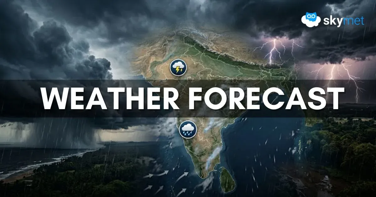
Forecast
During the next 24 hours, light to moderate rain with a few heavy spells may occur over Kerala, Coastal Karnataka, Konkan and Goa, Sub-Himalayan West Bengal, Sikkim, Assam, and Arunachal Pradesh.
Light to moderate rain with a few intense spells may occur over Northeast India.
Light to moderate rain is possible over Lakshadweep, Andaman and Nicobar Islands, Kerala, Interior Karnataka, Telangana, Andhra Pradesh, parts of Bihar, Uttar Pradesh, Jharkhand, East Madhya Pradesh, Chhattisgarh, Odisha, and Uttarakhand.
Dust storm and thunderstorms may occur over parts of West Uttar Pradesh, Delhi, and Haryana.
Light rain is possible over North Konkan and Goa, South Gujarat, Himachal Pradesh, and Jammu Kashmir.
Heat wave conditions may persist in parts of Haryana, Southwest Uttar Pradesh, and Rajasthan.
Trending: