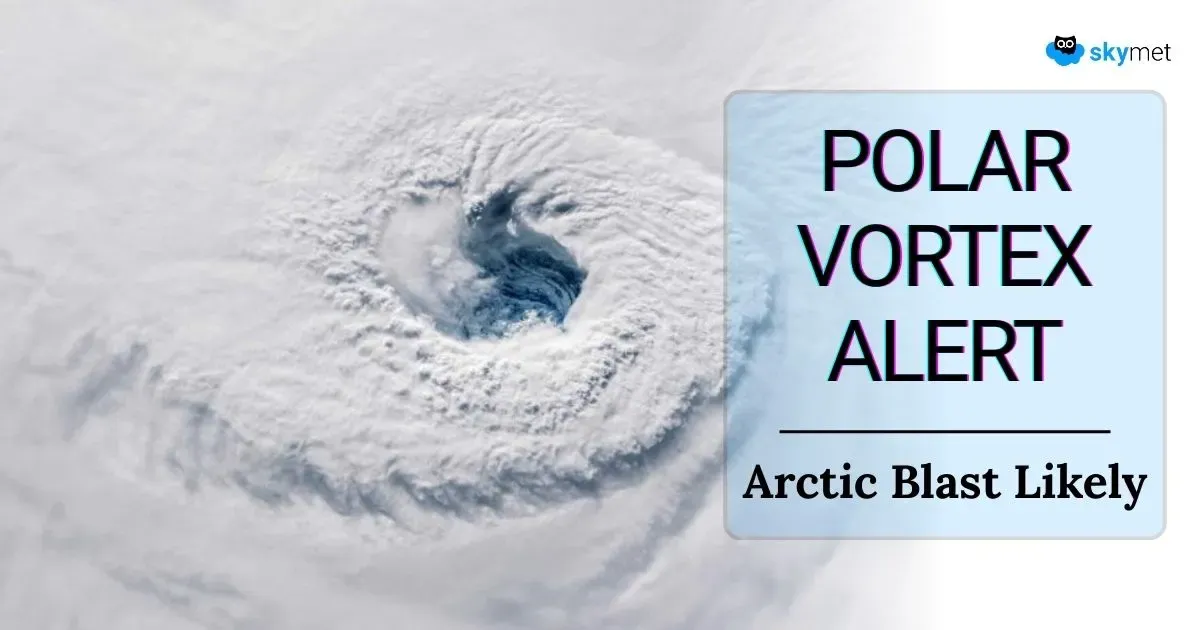
Early - Season Polar Vortex Likely: Disruption Of Weather Activity Envisaged

Key Takeaways
- The polar vortex is tightening and showing signs of an early-season disruption, raising the risk of extreme cold weather across the Northern Hemisphere.
- Both tropospheric and stratospheric vortices can interact, causing severe winters, blizzards, and major cold outbreaks.
- Latest models indicate a strong disturbance likely by late December or early January, with potential global weather impacts.
- India may experience intensified winter conditions, especially in northern states, though the exact intensity and duration remain uncertain.
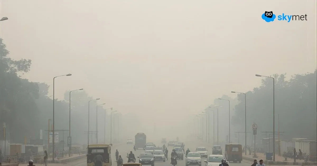
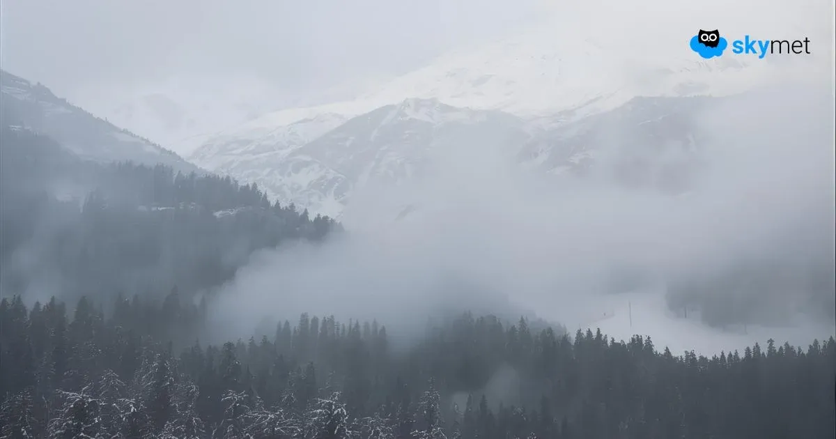
A polar vortex is a large, low-pressure cold air system that typically forms near the Earth’s poles. During the winters, it can expand and shift, pushing cold air from the polar regions to the lower latitudes, often affecting North America, Europe, and Asia. When the polar vortex shifts and erupts, it can lead to extreme cold spells, sometimes resulting in dangerously low temperatures, strong frigid winds, and significant snowfall in regions far from the poles. This eruption, if any, is also termed an "Arctic Blast," which brings extreme and challenging cold conditions, especially in mid-latitude countries.

Planet Earth has an envelope of the troposphere, which extends to a height of 8–14 km above the surface. Temperatures decrease with height in the troposphere. On top of this is the stratosphere, located between 16–50 km above the Earth’s surface, where temperatures increase with height. There are actually two polar vortices, one in the stratosphere and the other in the high troposphere, over the North Pole in the Arctic region. Each of them individually can cause a cold snap or freeze, or they can interact with each other to rupture the pattern, resulting in extreme weather conditions in the form of blizzards and snowstorms.
The polar vortex is a very tight circulation in both the stratosphere and troposphere. It rotates at high speed, and the centripetal force keeps the flock together. Most years, it runs like a well-behaved engine, like a spinning top keeping the cold locked in the north. However, under the influence of a wavering polar jet stream, the vortex can expand and shift. This typically happens during the winters of the Northern Hemisphere. Latest models show an unusually strong disruption building rapidly, weeks earlier than many specialists expected. This engine is likely to misfire later in December or early January, causing major disruption in weather activities.
North America, Alaska, Greenland, northern Europe—particularly the Scandinavian region—come at higher risk for extreme inclement weather conditions. With the circumpolar westerly jet stream, the cold snap spills over and is carried by icy winds across the globe, largely in the mid- and polar latitudes. Central and West Asia also get impacted with harsh weather conditions. Extreme cold does trickle into the mountains and plains of North India during the peak winter season.
There is a fair amount of confidence about the occurrence of this freak phenomenon, earlier than expected. However, there is uncertainty about the intensity, timing, and duration as of now. High-computational model runs are likely to bring more clarity in the coming weeks. As of now, the dice are being loaded and await the appropriate trigger. Keep your fingers crossed for its adverse impact on the Indian region.