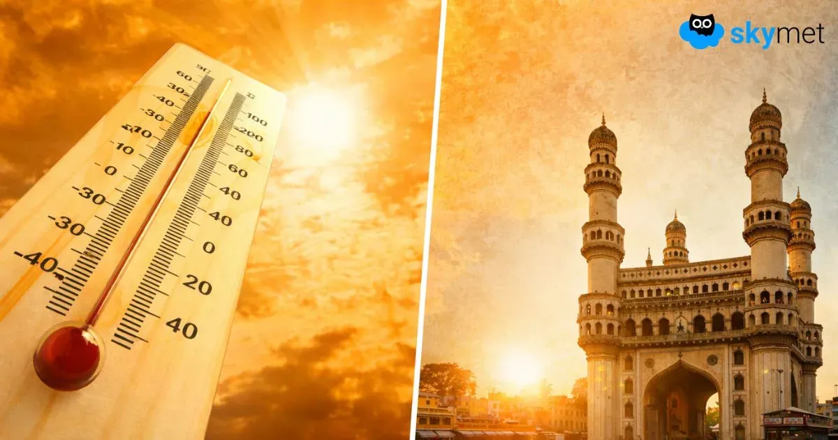
Heat Wave Unlikely Till Mid-April: Telangana-Andhra Pradesh Likely To Be Hottest States

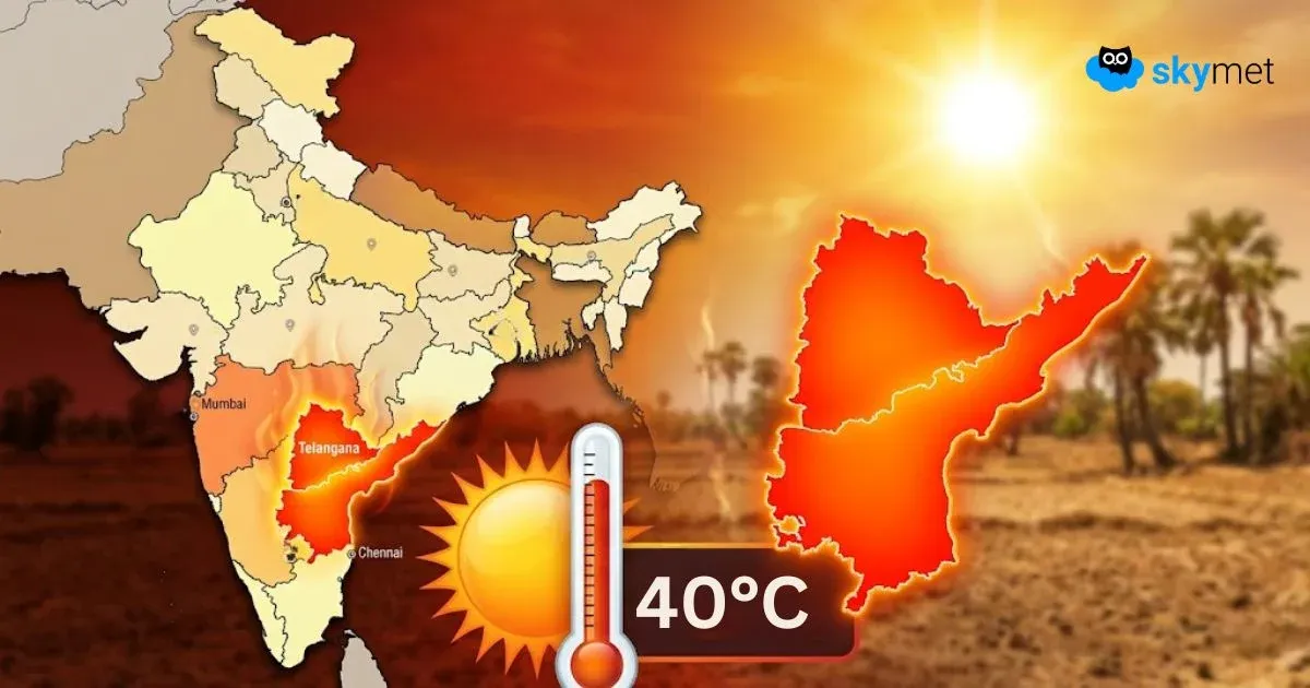
Image: AI-Skymet
Key Takeaways:
- Temperatures remain below normal across most of India despite isolated 40°C readings
- Western Disturbances keeping North India cool with recent widespread rain
- Eastern India sees surplus rainfall, suppressing heat build-up
- Gradual warming expected, with heat likely intensifying in second half of April
Temperature profile has remained mostly submissive over large parts of the country. Otherwise, there is a historic record of mercury shooting above 40°C around this time over vast areas of the country. In addition to the interior parts of the South Peninsula, the vulnerable pockets are Odisha, Maharashtra, Gujarat, and Telangana. Right now, isolated places only have breached 40°C. The highest temperature of 42.2°C was recorded yesterday at Vellore (Tamil Nadu). The 40°C region included Cuddapah, Nellore, Tirupati, Anantapur, Nandyal, Rentachintala, and Mahabubnagar. A similar pattern is likely to persist, and heat wave conditions will continue to wait in the wings.
Back-to-back Western Disturbances moving across the northern mountains have kept the region rather cool and comfortable. The plains of North India have observed the rainiest week of the month between April 2 and 8. Temperatures have dropped to the low and mid-20s across almost the entire region. Though the plains will find clearance soon, the mountains will continue to experience a trail of disturbances. Their cascading effect will restrict any sharp rise in temperatures over the next one week to ten days.
The remnants of these Western Disturbances have moved across the eastern parts of the country. Perpetually rainfall-deficit states like Bihar, Jharkhand, and West Bengal have recorded surplus rainfall this season. More showers are in the offing. These will suppress heat build-up over the eastern region as well. Northeast India, as a whole, has recorded excess rainfall across valleys, mountains, and plains. These rains are likely to continue, even at the cost of dampening spirits in the poll-bound state of Assam tomorrow.
In the central region, the mercury is likely to rise incrementally over the next few days. States like Maharashtra and Gujarat will witness a rise in day temperatures but will continue to stay below normal for the next about five days. Heat will catch up only during the second half of the month.
The peninsular India trough and seasonal wind discontinuity will remain a regular feature. This will restrict any sharp spike in mercury. Yes, day temperatures will breach the 40°C mark at a few places but without meeting the heat wave criteria.
Overall, day temperatures are likely to remain below normal to normal over most parts of northwest, central, and eastern India during the next 6–7 days. A gradual rise in mercury will take place thereafter. After all, the second half of April becomes synonymous with heat waves in some pockets of the country. To begin with, the likely sub-divisions will be Saurashtra & Kutch, Vidarbha, Marathwada, Telangana, and interior Odisha.
Skymet Exclusive: Skymet Weather Forecasts Below Normal Monsoon For India in 2026