Rain-Thunderstorm For Delhi Next Four Days: Under Forty Degrees Temperature To Continue

Representational Image: AI-Skymet
Key Takeaways:
- Rain and thundershowers brought relief from heat across Delhi today morning.
- Day temperatures are expected to remain below 40°C throughout the week.
- Pre-monsoon activity will continue over Delhi till around June 20.
- Southwest Monsoon arrival over Delhi may get delayed this season.
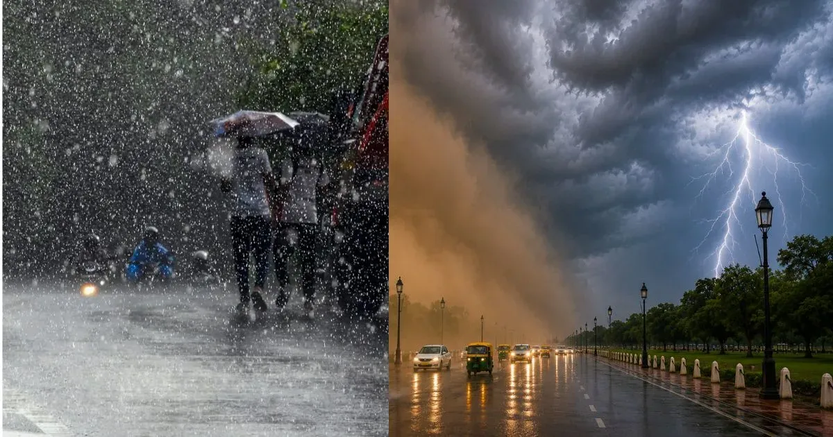
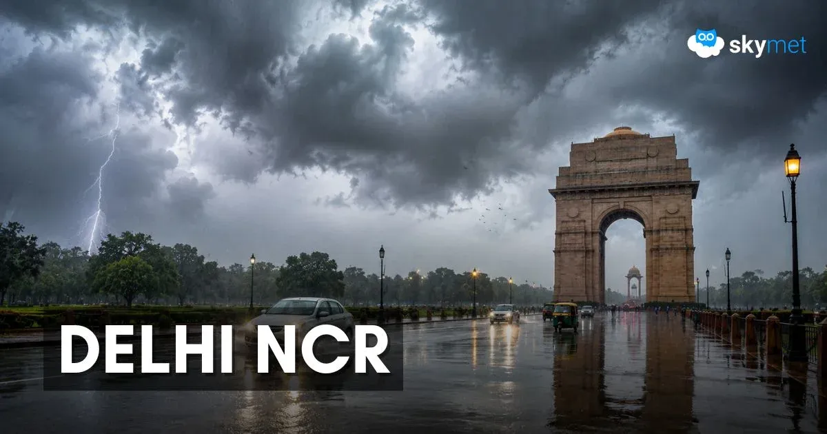
Fresh spells of rain and thundershowers lashed most parts of Delhi during the morning hours today, bringing significant relief from the heat. Due to persistent cloud cover and rain activity, the rise in temperature was restricted, and the maximum temperature is likely to remain below 34°C today, making it potentially the coolest day of the month so far. Earlier, under similar weather conditions, Delhi had recorded a maximum temperature of 34.6°C on June 12, 2026. The mercury is expected to stay below 40°C throughout this week.
At present, a cyclonic circulation is persisting over North Rajasthan and adjoining border areas. An east-west trough is extending from this system across Haryana, Uttar Pradesh, and Bihar. Although the trough is passing north of Delhi, it remains close enough to influence the city’s weather conditions. In addition, a western disturbance is expected to approach the region by late tomorrow. The combined impact of these systems is likely to keep Delhi under typical pre-monsoon weather conditions until June 20.
Safdarjung, Delhi’s base weather station, has a normal rainfall average of 80.6 mm for June. So far, the city has recorded only 29.2 mm rainfall during the first half of the month, indicating a significant rainfall deficit. However, the upcoming rain activity is expected to remain patchy and brief, with no substantial rainfall accumulation likely during the next week.
Short spells of rain and thundershowers are expected over Delhi for the next four days. Most weather activity is likely during the night and early morning hours, followed by temporary clearance during the afternoon before rain activity resumes again during similar hours. Persistent cloud cover and intermittent rainfall will continue to keep daytime temperatures below normal and restricted under 40°C. Night temperatures are expected to hover around the mid-20s throughout the week.
The normal date for the arrival of the Southwest Monsoon over Delhi is June 27, and current indications suggest that the monsoon may arrive later than usual this season.
Trending: