Widespread Pre-Monsoon Activity Over Delhi- More Showers On Weekend

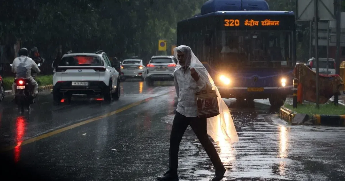
Delhi Weather Forecast, Image-PTI
Key Takeaways:
- Delhi recorded rain, thunderstorms, and possible hailstorm activity at the start of April
- Fresh western disturbance to trigger more showers between April 3–5
- Another spell likely between April 7–9 after a brief pause
- No heatwave expected; temperatures to remain in low 30s
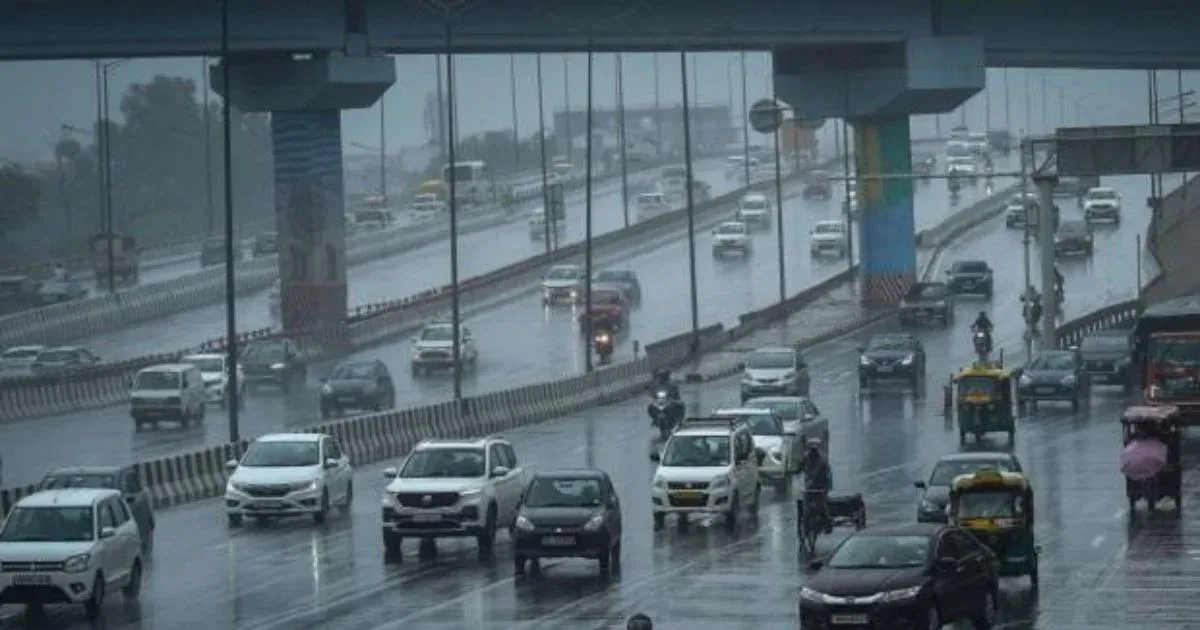
Delhi region was struck with fairly widespread rain and thundershowers last evening and night. Weather activity was on the expected lines and had a mix of lightning, thunderstorm, strong winds and sharp showers. The weather radar had a signature of hailstorm also, as the cloud top exceeded 30,000 feet of vertical column. There were unconfirmed reports of associated moderate hailstorm activity in some pockets of the capital city. Base station Safdarjung and Palam observatory recorded 9 mm and 8 mm rainfall respectively. As the rainfall occurred after 8:30 a.m yesterday, this will be counted against 01st April 2026. So practically, Delhi starts on a rainy note in April. More showers are likely of similar intensity and spread between 03rd & 05th April 2026.
The western disturbance is clearing the northern parts today. A fresh western disturbance will arrive tomorrow. Also, a well-marked induced cyclonic circulation will accompany the main system, travelling from across the border to parts of West and Central Rajasthan. A pronounced east-west trough will extend from the system and run in close proximity to Delhi between 03rd and 05th April.
The remnant effect of the western disturbance clearing northern parts may give a short and mild spell of thunderstorm tonight. The capital city and suburbs may not find any significant weather activity tomorrow, 02nd April. The pre-monsoon convective spell will resume on 03rd April and continue during the weekend. Most of the weather activity will take place in the evening and night hours during this period. A small window of clearance may come up on 06th April, at the start of the next week. However, it may not last long and another wave of weather is expected between 07th and 09th April 2026.
With persistent pre-monsoon activity, the day temperatures will remain suppressed and confined to the low 30s. There could be a small spike tomorrow and the mercury may breach the 35°C mark. No heat wave is expected during the first half of April over Delhi/NCR. Average monthly rainfall for April is a mere 12.5 mm and it is likely to be achieved during the first half of the month itself.