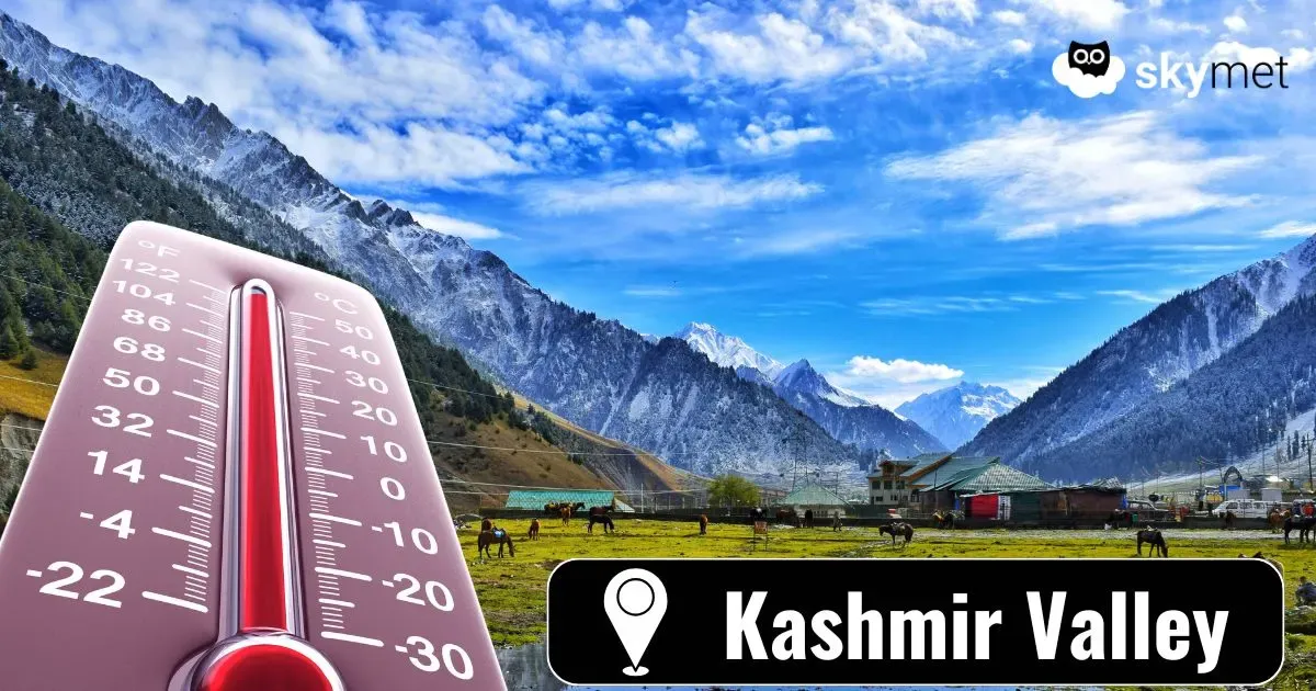
Back-To-Back Western Disturbances: Snow Over Mountains Likely


Key Takeaways:
- Winter 2026 recorded one of the highest seasonal rainfall and snowfall deficits across North India.
- February saw extreme deficiency, with Uttarakhand recording up to 94% shortfall.
- Two western disturbances will impact the Western Himalayas between 03rd and 12th March.
- Mid and higher reaches may receive snow, while lower hills could largely miss significant activity.
Mountains of North India witnessed one of the poorest rainfall/snowfall of the winter season 2026. In that month, February, otherwise the rainiest month, had more hurdles and observed extremely poor weather activity. The seasonal deficit ranked amongst one of the highest, and the month of February was exclusively marginalized, with deficiency as high as 94% over Uttarakhand. Jammu & Kashmir, Ladakh and Himachal Pradesh registered shortfall of 89% and 86% rainfall in February. The diminished snow led to increased warming across the region and will have cascading effects in the upcoming seasons.
There are two back-to-back western disturbances approaching the Western Himalayas over the next 10 days. The second system will be stronger in scale, spread and duration. It will provide conciliatory and temporary relief, but the entire region could be in for fresh headwinds, as the month of March confronts upheavals during the second half.
The first western disturbance, mainly seen as an upper air system, will arrive late on 03rd March 2026. It will last till 05th March and only the residual effect on 06th March. Still, in its active phase, the weather activity will remain limited to mid and high reaches, beyond the elevation of 10,000 feet. There will be scattered snow over ranges like Karakoram, Ladakh Zanskar, Pir-Panjal and Shivalik. But the lower hills will be completely left out. The second system, aided by support circulation in the plains, will be stronger, expansive and enduring. The disturbance will arrive on 07th March and will push the weather activity for fairly long, up to 12th March. Going by the model limitations, this forecast will need review around mid-week.
Notwithstanding model constraints, the hilly states of Jammu & Kashmir, Himachal Pradesh and Uttarakhand will have the twist in weather conditions simultaneously. Weather activity will be sharper and spread out for mid and higher reaches of Jammu and Kashmir Valley. While Srinagar, Manali and Shimla will stand a chance of rain and thundershowers, other tourist attractions like Pahalgam, Gulmarg, Sonamarg, Rohtang and Lahaul-Spiti will be favourite for snow on 07th and 08th March. The rising temperatures across the hills will find a breather and ease out considerably. The fresh build-up of heat may come up again during the second half of the month.