Daily Weather Update for India, March 27: Forecast and Regional Conditions


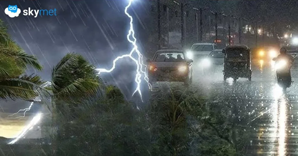
Representational Image: AI-Skymet
Key Takeaways:
- Active Western Disturbance to sustain rain and thunderstorms over Northwest India
- Multiple cyclonic circulations influencing widespread weather activity
- Rain belt shifting towards East and Central India by March 27
- No heatwave risk as temperatures remain controlled across northern plains
Weather systems over the country
A Western Disturbance, as a cyclonic circulation, now lies over North Pakistan and adjoining Jammu at 3.1 km above mean sea level.
A cyclonic circulation is present over southeast Rajasthan and adjoining areas, extending up to 1.5 km above mean sea level.
Another cyclonic circulation is over Northeast Assam.
A cyclonic circulation is also present over the southern parts of Gangetic West Bengal at 0.9 km above mean sea level.
A trough extends from Marathwada to the south coast of Karnataka across North Interior Karnataka at lower levels.
A fresh Western Disturbance is likely to affect Northwest India from the night of March 28.
Weather activity during the last 24 hours
During the last 24 hours, light to moderate rain occurred over Sub-Himalayan West Bengal, Sikkim, Assam, Arunachal Pradesh, Nagaland, Interior Karnataka, and South Madhya Maharashtra.
Light rain occurred over Jammu & Kashmir, Delhi, North Rajasthan, Odisha, South Chhattisgarh, and Telangana.
Maximum temperatures increased by 2 to 3 degrees over Himachal Pradesh, Uttarakhand, Punjab, Haryana, Delhi, North-East Rajasthan, and West Uttar Pradesh.
Weather activity during the next 24 hours:
During the next 24 hours, light to moderate rain is possible over Jammu & Kashmir, Himachal Pradesh, Uttarakhand, Sikkim, Sub-Himalayan West Bengal, Assam, and Arunachal Pradesh.
Isolated rain and thunderstorms may occur over parts of North Rajasthan, Haryana, Punjab, Delhi, and West Uttar Pradesh.
Rain activity will shift towards eastern parts of the country, with scattered rain and thunderstorms expected over Central and East Uttar Pradesh, Bihar, Jharkhand, West Bengal, Odisha, Chhattisgarh, and East Madhya Pradesh on March 27.
Light rain and thunderstorms may occur over Telangana, Interior Karnataka, and Kerala.
Skymet Exclusive: Risk of Sub-Par Monsoon and drought Over India Rises in 2026