


Image: AI-Skymet
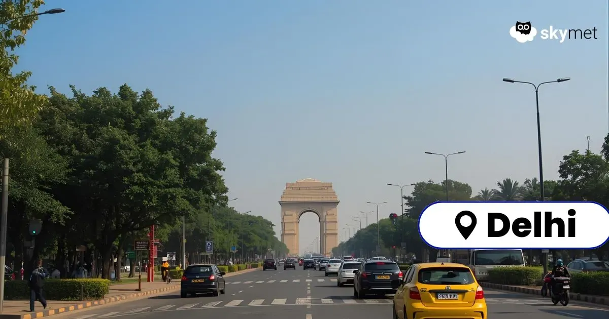
Delhi has witnessed a prolonged spell of dry weather. No measurable rainfall has been recorded for the last 10 days. The base station Safdarjung has recorded 85 mm rainfall so far, against the monthly normal of 128 mm in September. Withdrawal of monsoon is inching closer and the capital city is likely to fall short of its target in September. Notwithstanding, scattered and patchy rainfall is expected for the city and suburbs during mid-week, between 17th & 18th September.
The monsoon withdrawal has already commenced from the extreme western parts of the country. Therefore, tracking of the monsoon trough at surface and lower levels will no longer be carried out. Also, the monsoon retreat is likely from some more parts, leaving aside Delhi for the time being and more so from parts of Rajasthan, Gujarat, Punjab, and the mountains of North India.
Mumbai Rains: Moderate-Intermittent Rains Through This Week Over Mumbai: Few Spells Of Heavy Showers Likely
The remnant of low pressure is marked as a cyclonic circulation over central parts of Maharashtra and the adjoining region. Also, an in-situ cyclonic circulation is likely to come up over East Uttar Pradesh and Bihar shortly. This feature will move along the Indo-Gangetic plains. These two circulations are likely to merge, and a broad circulation is expected over North Madhya Pradesh and Southwest Uttar Pradesh. An east-west trough will extend from Northeast Rajasthan to East Uttar Pradesh and Bihar, keeping proximity to the Delhi region. Delhi/NCR may witness light patchy showers between 17th and 18th Sep. The showers may not be strong enough in intensity and spread to alter the temperature profile. Day temperature will hover in the mid-30s and the minimum temperature in the mid-20s.


