


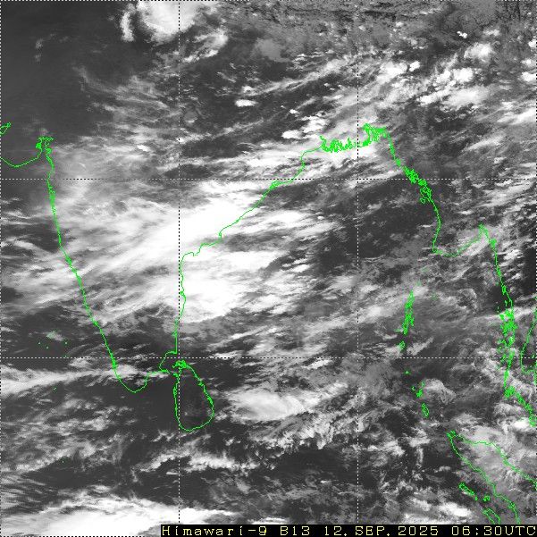
Image Courtesy: Himawari (Sat Image)
Under the influence of cyclonic circulation over coastal regions of Odisha and Andhra Pradesh, a low pressure area is likely to form over West-Central Bay of Bengal, off the North Andhra and South Odisha coast, in the next about 24 hours. The weather system will quickly move inland, crossing the Andhra coast and track across Telangana, Maharashtra, North Karnataka and Madhya Maharashtra. This will revive the monsoon activity, which had earlier slowed down a bit during this week.
The low pressure area will not be a very strong system but the rainfall spread will be large, covering central and southern parts of the country. Also, the low pressure will move very slowly and at times, remain nearly stationary. The broad scale circulation of the system will keep meandering over North Karnataka, Telangana and interiors of Maharashtra. The system will stop short of the Konkan coast and is not likely to cross over to the Arabian Sea, as it normally happens at this time of the year. Yet, it will revive the monsoon activity along Konkan & Goa, otherwise lying dormant so far in this month.
Next two days, Telangana, Vidarbha, Marathwada and North Karnataka can expect moderate to heavy rainfall. The intense weather belt will extend to cover Madhya Maharashtra, Konkan & Goa, including Mumbai, on 14th and 15th Sep. Typical heavy Mumbai rains are likely on these two days. The peripherals of the system will also cause moderate to heavy rainfall over South Coastal Gujarat, Southwest Madhya Pradesh and Southeast Rajasthan, between 16th and 18th Sep 2025. While the weather activity will vacate or slow down over most other parts, some pockets of Gujarat, Madhya Pradesh and Rajasthan will continue to have scattered showers of moderate intensity, lasting till next weekend.


