
Low Pressure Area To Form Over Bay Of Bengal: Intensify Monsoon Rainfall

Key Takeaways:
- The season’s first low-pressure area is likely to form over the North Bay of Bengal within 24 hours.
- Active monsoon conditions are expected across central, western, and northern India over the next week.
- Heavy to very heavy rainfall may trigger localized flooding between July 3 and 7 in several states.
- The weather system may help reduce India’s monsoon rainfall deficit significantly during early July.
- Forecast Validity: Next 3 to 5 days.
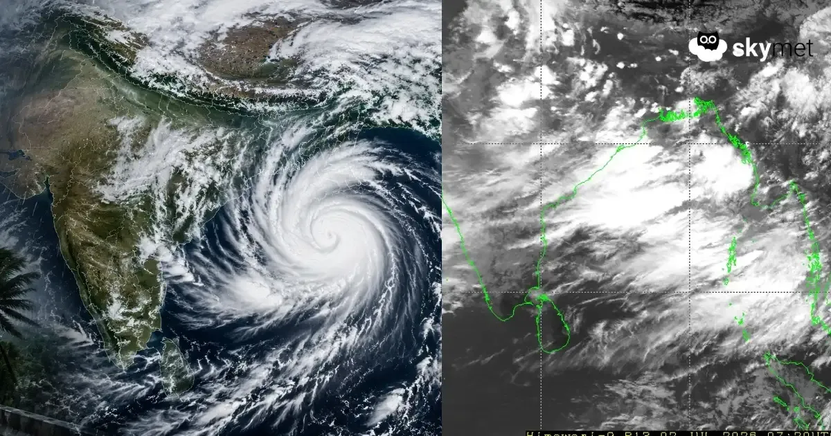
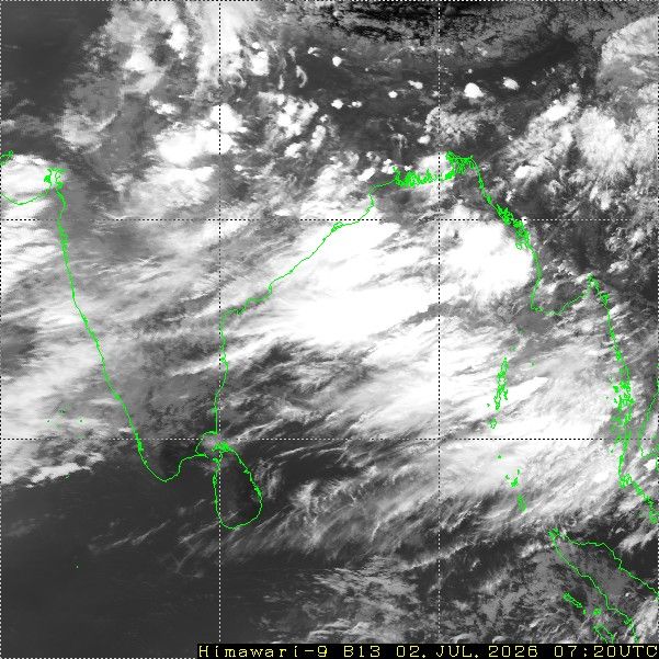
A cyclonic circulation is persisting over the North Bay of Bengal and extending up to the mid-tropospheric levels. Under its influence, a low-pressure area is likely to form over the same region during the next 24 hours. Coastal parts of Odisha will witness intense weather activity initially, and the rainfall belt will gradually shift deeper inland as the system crosses the coast. The monsoon is now expected to enter an active phase across central, western, and northern parts of the country over the next week.
This low-pressure area will be the first organized monsoon system of the season. The intensity, track, and duration of the system will play a crucial role in reducing the large rainfall deficit accumulated during June. The system is expected to lower the pan-India rainfall deficit from nearly 40% to at least 30% during the first ten days of July. Central and western parts of the country are likely to emerge as the primary beneficiaries. The Konkan Coast and Mumbai are expected to witness torrential rainfall typical of the peak monsoon season.
An east-west shear zone is likely to develop across the country around 20°N latitude, extending from coast to coast. This feature is expected to get embedded with smaller-scale cyclonic circulations, further enhancing rainfall activity. Heavy to very heavy rainfall is likely over Odisha, South Chhattisgarh, East Madhya Pradesh, and Vidarbha.
Subsequently, heavy rainfall activity will spread further westward, bringing a possible deluge over parts of North Madhya Maharashtra, Southwest Madhya Pradesh, South Rajasthan, and parts of Gujarat. Localized flood-like situations are quite likely between 03rd and 07th July over some pockets of these regions.
Vigorous monsoon conditions are expected to prevail over central and western India during this period. There are also early indications of another monsoon system developing over the Bay of Bengal, potentially following a similar track as the present system.
Trending:


