
Southwest Monsoon Sneaks In Delhi: Splash Goes Missing

Key takeaways:
- Southwest monsoon has officially arrived in Delhi despite limited rainfall activity so far.
- Major atmospheric indicators strongly support further advancement of monsoon across North India.
- Rainfall activity over Delhi-NCR is expected to intensify from July 5 onward.
- Typical monsoon showers and thunderstorms are likely between July 6 and 8, bringing pleasant weather conditions.
- Forecast Validity: Next 5 to 7 days
Following the spell of light rainfall yesterday during the early morning hours in different parts of Delhi, the arrival of the southwest monsoon was announced. However, the rains went missing thereafter, leaving the disappointing query as to where the monsoon is. Unlike many other years, the monsoon has made a mild entry with short-duration fleeting showers in some areas of the capital city. Since rainfall is the most visible manifestation and authentic testimony of the monsoon, there are genuine doubts among the masses about the entry of the monsoon in Delhi.
Notwithstanding the lack of adequate rainfall over Delhi and adjoining parts, there are changes in the atmospheric conditions supporting the arrival of the monsoon current over large parts of Northwest India, including Delhi. Leaving some parts of Saurashtra & Kutch in Gujarat and the border subdivision of West Rajasthan, the monsoonal pattern and the associated environmental conditions are in place to justify the monsoon current. The seasonal event is likely to cover the entire country, including the border posts of Rajasthan and Gujarat, in the next one week or so.
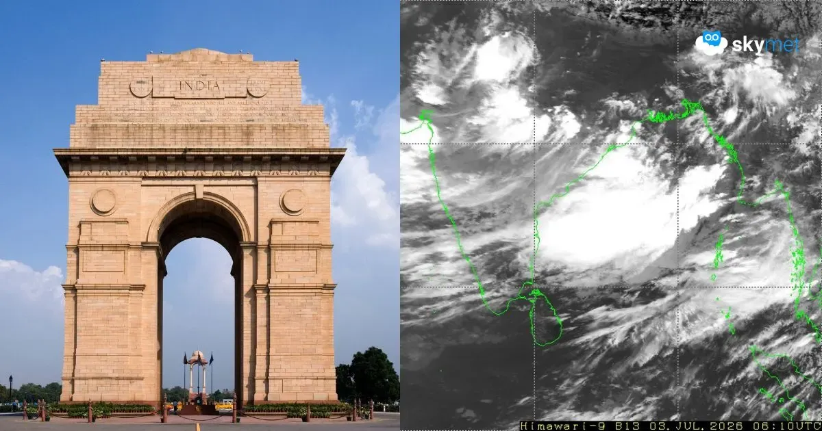
The most popular and easily recognizable feature of the monsoon trough is established and extending from North Rajasthan to Gangetic West Bengal, with embedded cyclonic circulations along its axis. The low-pressure area has formed in the Bay of Bengal, which has instituted a stream of easterly winds along the Indo-Gangetic plains. The Tibetan Anticyclone over the Himalayan Plateau is firmly placed and supports the monsoon current over the region. Yes, it is going to be pushed eastward by the approaching western disturbance marked as a deep amplitude trough in the high tropospheric levels. In addition, the Tropical Easterly Jet (TEJ) is prominently marked over the South Peninsula and sweeping beyond 20 Degrees North. The east-west shear zone is also extending from coast to coast, positioned around 21 Degrees North, between heights of 10,000’ and 20,000’ feet. All these markers are necessary precursors to the ingress of the monsoon over North India. Very soon, the most delightful parameter of rainfall will also be in place, drenching the plains of North India, including Delhi.
There is no significant weather in terms of precipitation likely over Delhi today. Warm and sultry conditions will be the highlights of the day. There is an outside chance of sporadic and fleeting showers tomorrow afternoon and evening. The spread and intensity of rainfall will increase from 05th July onwards. Typical monsoon rain and thundershowers are expected to lash Delhi/NCR between 06th and 08th July 2026. Persistent clouds and intermittent rain will dip the day temperatures to the low 30s. Weather conditions are likely to turn relatively pleasant, both during the day and night, at the start of next week.


