Well-marked low over the Bay meets headwinds: Monsoon Onset Over Andaman Sea Goes Ahead


Representational Image: AI-Skymet
Key Takeaways:
- The well-marked low-pressure area over the Bay of Bengal is weakening gradually.
- Heavy rainfall is likely over coastal Myanmar during the next two days.
- Cross-equatorial flow has strengthened over the southern and central Bay of Bengal.
- Conditions are becoming favourable for monsoon advance over the Andaman and Nicobar Islands.
The well-marked low-pressure area over the Southwest and adjoining West-Central Bay of Bengal (BoB) remains nearly stationary. The vortex is centred around 12.5°N and 83°E, about 300 km east abeam Chennai. The sharp features marked earlier with the system have faded a bit, and the low pressure seems to be losing strength. As such, the environmental conditions are marginally favourable, with sea surface temperature around 28°C and vertical wind shear slightly on the higher side. The low pressure is unlikely to strengthen and may rather weaken over the next 36 hours, as it drifts northeastwards towards the Arakan Coast.
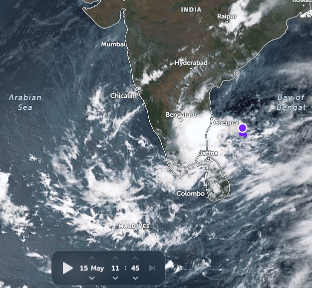
The low pressure will head towards the Myanmar coast on a weakening note. There will be heavy rainfall over coastal Myanmar tomorrow and the day after. The presence of the system has accelerated the cross-equatorial flow over southern and central parts of BoB. The north-south chain of Bay Islands, from Nan Cowry to Maya Bandar, has received intermittent rainfall for the last three days. Conditions are favourable for the advance of monsoon over South BoB and the Andaman and Nicobar Islands anytime soon.
The southwest monsoon normally travels from South Andaman to the North Andaman Sea between May 20 and May 22. Thereafter, it leaves a gap of about 10 days for the stream to reach mainland Kerala. However, there is a robust correlation between the Andaman Sea and Kerala regarding the timelines of monsoon onset. Actually, the formation of a well-marked low pressure area over BoB and its movement towards the Myanmar coast decelerates the flow in the wake of the system. It takes a few days to recoup the lost energy and heat potential on account of fairly widespread rains in that area. The normal onset date for Kerala is still about two weeks away and supposedly does not leave any anxious moments for the timely onset.
Trending: