Plains Of North India To Have First Winter Rains: Cold Wave Follows

Key Takeaways
- December has remained dry across North Indian plains so far.
- A western disturbance may bring winter rain and snowfall at month-end.
- Fog and cold wave conditions may ease briefly before intensifying again.
- New Year is likely to begin with colder and foggier conditions.
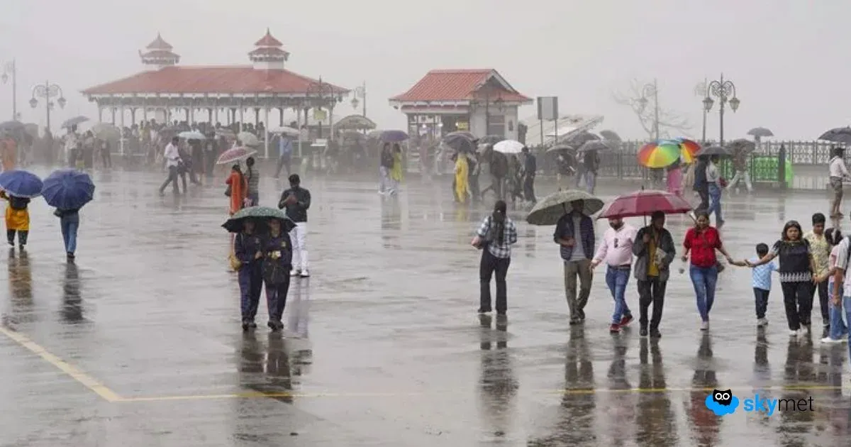
Winters have so far remained dry and withered over the plains of North India. Earlier, there were good showers in October after the withdrawal of the monsoon. A light sprinkle was also observed at a few places in November. However, December has remained completely dry so far. The last day of the month may finally break this dry spell, with wet weather likely to extend into the New Year.
A western disturbance is approaching the Western Himalayas. Clouding has already reached ahead of the system over parts of Punjab and Rajasthan. There is a likelihood of a weak cyclonic circulation developing over north Punjab tomorrow, which is expected to become more marked over the subsequent 24 hours. A cyclonic wind circulation will cover large parts of Punjab, Haryana and north Rajasthan, with a trough extending southwards up to east Rajasthan.
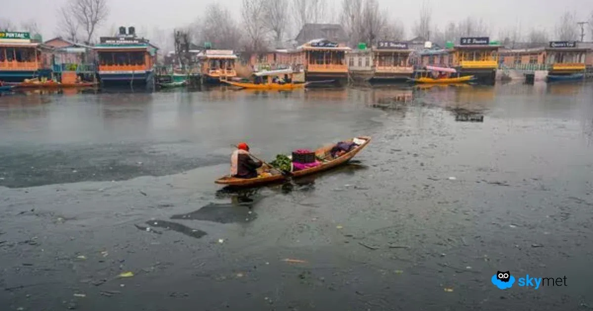
While the mountains will witness snowfall, the plains are likely to see the first spurt of winter activity. Punjab, Haryana, Rajasthan and the capital city Delhi may experience their first typical winter rains. The ongoing spell of dense fog and cold wave conditions in pockets may temporarily ease after about 36 hours.
However, in the wake of the system, frigid air is expected to sweep in, triggering a stronger and more stringent cold wave. Dense fog is likely to return once again. The New Year is set to begin on a chilly note across both the hills and the plains of North India.