Image: science.nasa.gov
A new ocean-watching satellite, Sentinel-6B, has lifted off successfully from Vandenberg Space Force Base in California, marking another milestone in the global effort to monitor Earth’s changing seas. The joint mission between NASA, NOAA, and the European Space Agency (ESA) aims to precisely measure sea-level rise and ocean changes that are critical to understanding climate change.
Launched aboard a SpaceX Falcon 9 rocket at 9:21 p.m. PST on November 16, Sentinel-6B established contact with a Canadian ground station about 90 minutes later. All systems were reported to be functioning normally.
What Is Sentinel-6B?
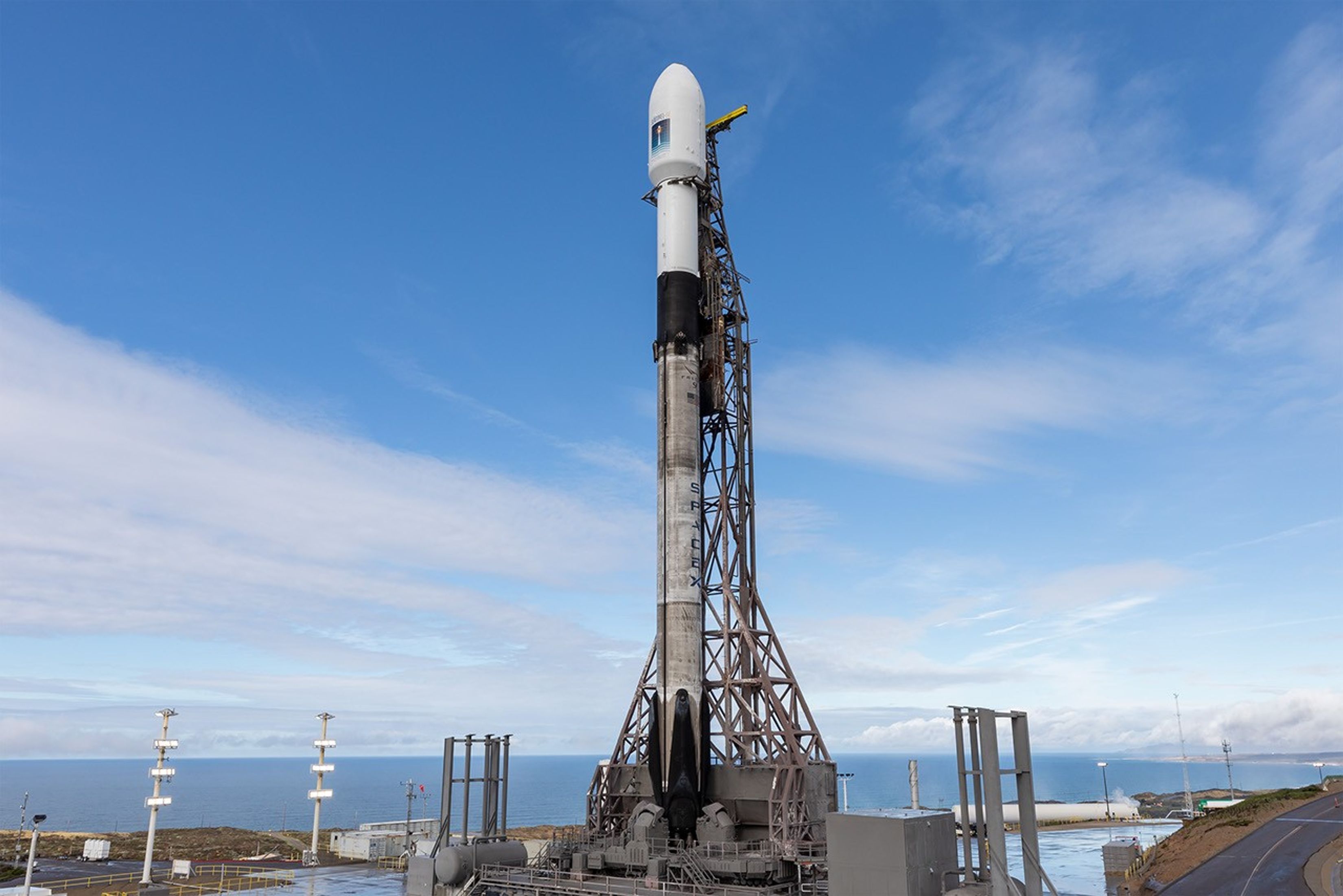
Image: science.nasa.gov
Sentinel-6B is a pickup-truck-sized satellite equipped with six advanced science instruments designed to measure sea levels with remarkable precision — down to an inch across 90% of the world’s oceans. It orbits Earth every 112 minutes at a speed of 7.2 kilometers per second, circling the planet roughly 13 times a day at an altitude of 1,336 kilometers.
This satellite is part of the Copernicus Sentinel-6/Jason-CS (Continuity of Service) program — a long-running international collaboration that has been tracking sea-level changes from space since the early 1990s.
How Does It Work?
Sentinel-6B uses radar altimetry to bounce microwave signals off the ocean’s surface. By measuring the time it takes for these signals to return, the satellite can calculate sea surface height with exceptional accuracy.
Key onboard instruments include:
- Advanced Microwave Radiometer (AMR) – measures temperature and humidity.
- Global Navigation Satellite System – Radio Occultation (GNSS-RO) – provides atmospheric data on pressure and water vapor.
- Laser Retroreflector Array (LRA) – ensures ultra-precise orbit tracking.
Together, these tools not only track sea-level rise but also monitor ocean temperature, waves, wind speeds, and atmospheric conditions that influence weather and climate.
Why Is Sentinel-6B Important?
Sea-level rise is one of the most visible consequences of global warming, driven by melting ice and warming seas. Even small changes can have enormous impacts on coastal communities, ports, and ecosystems. Sentinel-6B’s data will help scientists track these shifts more closely, improving:
- Climate models for long-term planning.
- Weather and storm forecasts for early warning systems.
- Maritime navigation and shipping safety.
- Protection of undersea cables and pipelines.
The satellite’s findings will also support better flood risk management, disaster response, and coastal planning across the world.
Where Does It Fit in NASA’s Climate Mission?
Sentinel-6B follows its twin, Sentinel-6 Michael Freilich, launched in November 2020. For now, both satellites will operate close together, allowing engineers to cross-calibrate their data. Once this step is complete, Sentinel-6B will become the official reference satellite for global sea-level measurements, ensuring continuity in this vital dataset.
According to Nicky Fox, NASA’s Science Mission Directorate lead, understanding sea-level changes "down to the inch" is crucial for predicting storm surges, protecting life and property, and even ensuring safer reentries for astronauts returning from Moon missions under NASA’s Artemis program.
The Power of Global Collaboration
Sentinel-6B exemplifies international cooperation. The mission brings together NASA, NOAA, ESA, EUMETSAT, and the European Union’s Copernicus Program, with technical support from France’s CNES (Centre National d’Études Spatiales) and engineering contributions from NASA’s Jet Propulsion Laboratory (JPL) in California.
As ESA’s Earth Observation Director Simonetta Cheli noted, the mission showcases what can be achieved when nations and agencies unite to address climate threats that affect everyone on Earth.
Looking Ahead
With Sentinel-6B in orbit, scientists now have another powerful tool to monitor rising oceans, track global climate patterns, and help policymakers make better, data-driven decisions. Over the next few years, data from Sentinel-6B will advance global understanding of how fast — and where — our seas are changing, shaping strategies to protect people, infrastructure, and economies across the planet.
Skymet is India’s most accurate private weather forecasting and climate intelligence company, providing reliable weather data, monsoon updates, and agri-risk management solutions across the country.