Depression To Cross Sri Lanka Coast: Heavy Rains Over Tamil Nadu

Key Takeaways
- A depression is set to cross Sri Lanka, triggering heavy rain and strong winds.
- Forecast models differ on landfall location and intensity.
- Tamil Nadu’s coast remains under threat of rough seas and showers.
- Weather improvement is expected ahead of Pongal.
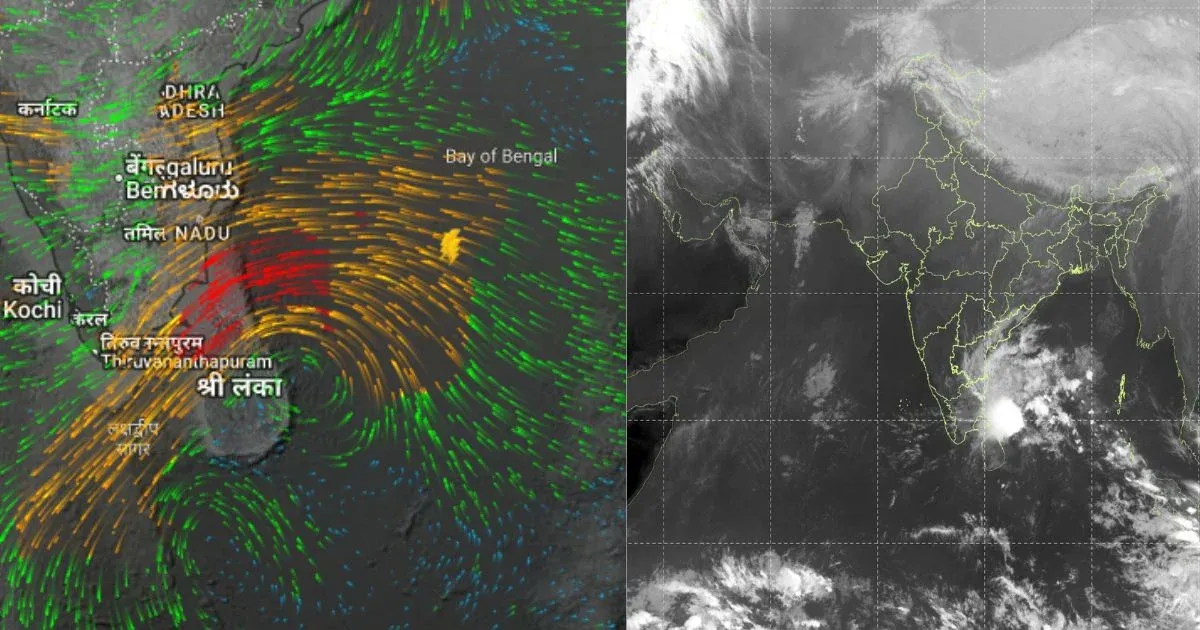
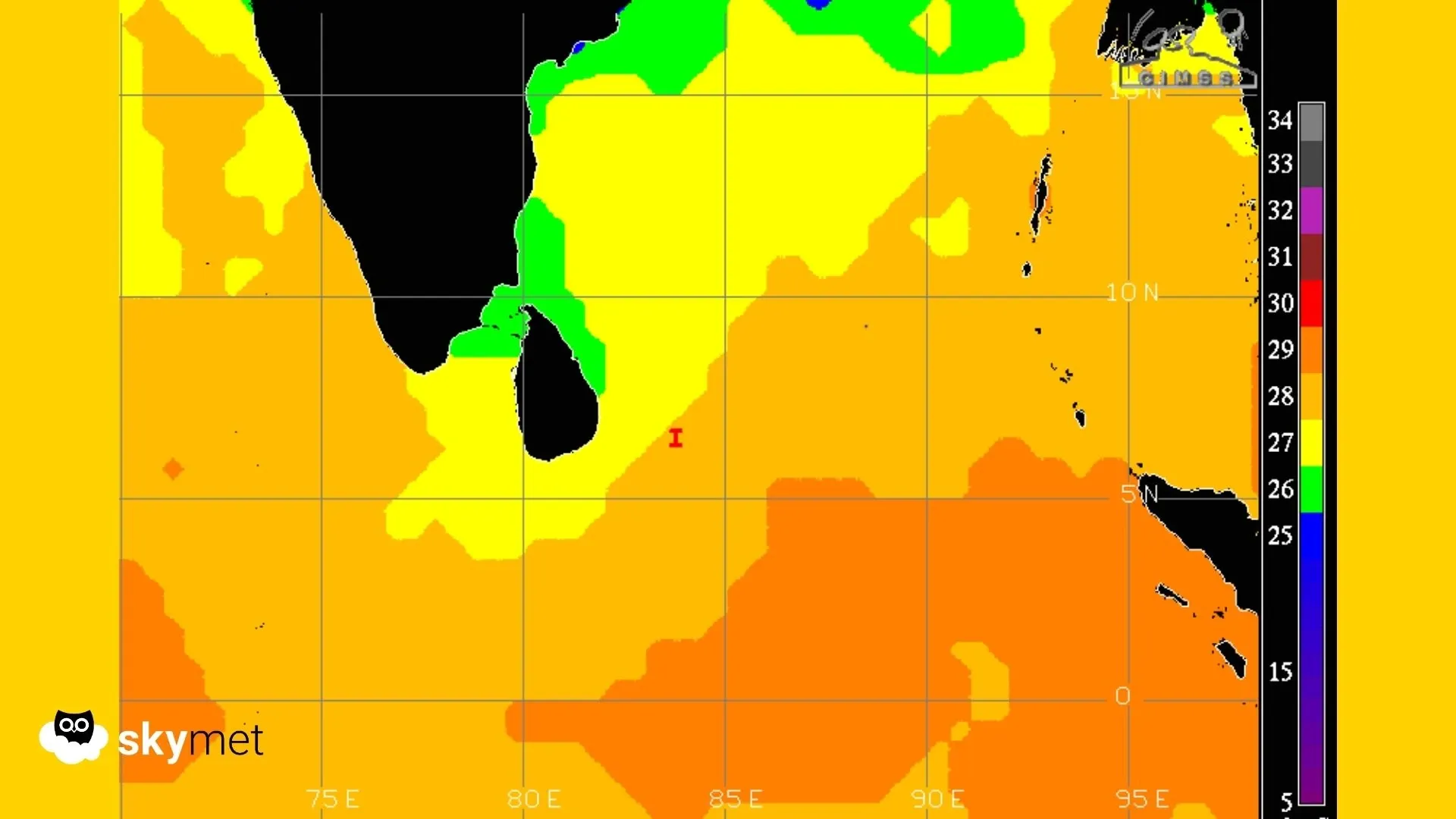
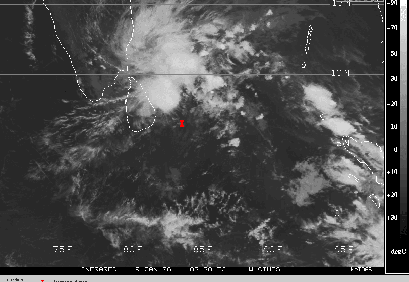
The depression over the Bay of Bengal moved northwest and now lies very close to the east coast of Sri Lanka. The system is centred around 7°N and 83.5°E this morning, about 250 km southeast of Trincomalee. It will continue moving along the same track and is likely to cross the Sri Lanka coast between Trincomalee and Batticaloa during the morning hours tomorrow. Heavy rainfall is likely over Sri Lanka and coastal Tamil Nadu over the next 48 hours.
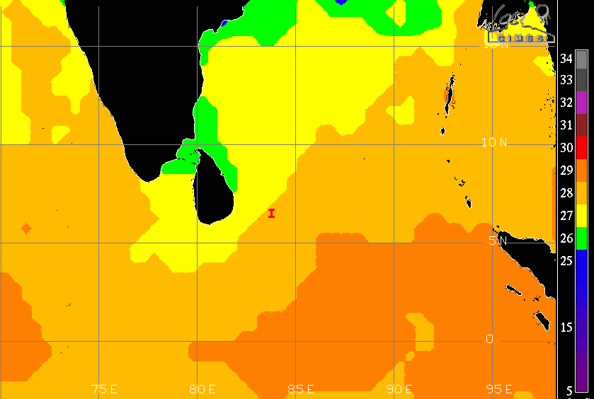
There is disagreement among various models regarding the intensity, track and timing of landfall. ECMWF indicates the system crossing the north coast of Sri Lanka, while NCEP shows a more southward track with landfall near Colombo. Moreover, the environment is not very conducive for the sustenance of intensity or track consistency. Strong wind shear is disrupting deep convection, and sea surface temperatures are dropping over the Gulf of Mannar, Palk Strait and adjoining parts of the southwest Bay of Bengal.
Notwithstanding variations in track and strength, caution needs to be exercised along the Tamil Nadu coastline from Kanyakumari to Chennai. Peripheral clouds have already reached these regions, and isolated light rainfall was observed during the past 24 hours. Winds are picking up and are likely to strengthen further, while sea conditions will remain very rough.
The Sri Lankan coastline, including Colombo, Hambantota, Trincomalee, Batticaloa, Vavuniya and Jaffna, will remain vulnerable to stormy conditions and heavy rainfall over the next 36 hours. The Tamil Nadu coastline covering Kanyakumari, Nagercoil, Tuticorin, Tondi, Pamban, Thoothukudi, Nagapattinam, Karaikal, Cuddalore, Puducherry and Chennai may be lashed with moderate to heavy showers accompanied by strong winds.
Scattered rainfall will spill over into interior Tamil Nadu and adjoining parts of Kerala. Weather conditions are expected to improve from January 12. Broad clearance is likely from January 13, 2026—a day ahead of Pongal—and is expected to persist through the remaining days of the week.