Depression Over Bay Of Bengal: Heavy Rainfall In Tamil Nadu

Key Takeaways
- Northeast Monsoon ended on 31 December, but unseasonal rain threat has emerged.
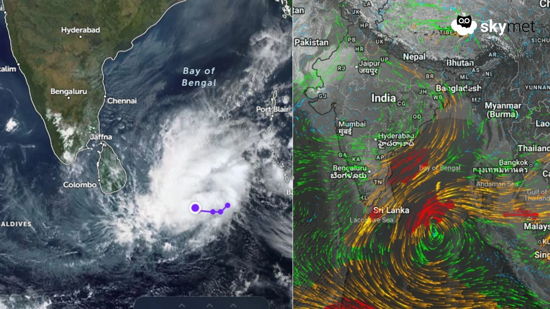
- A depression over the southeast Bay of Bengal will track west-northwest.
- Heavy rain risk exists for Sri Lanka and South Tamil Nadu between 9–11 January.
- Sea conditions will turn very rough; weather improvement expected from 12 January.
The Northeast Monsoon over the South Peninsula officially ended on 31 December 2025. As is typical during the final phase, the monsoon gradually weakens, and this season was no exception. Weather systems over the Indian Seas also become fewer thereafter. However, exceptions do occur, and one such case is now in the offing, which may cause moderate to heavy rainfall over extreme southern parts of South India.
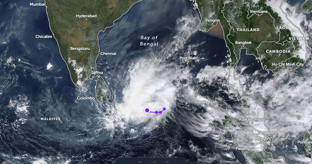
Under the influence of cyclonic circulation with a persisting low-pressure area, a depression has formed over the Southeast Bay of Bengal (BoB) and the adjoining equatorial region. As the Inter-Tropical Convergence Zone (ITCZ) shifts south of the equator in January, weather systems largely remain confined to the southern equatorial region and, at best, extend to about ±5° latitude north and south of the equator. Such systems do not usually intensify much due to the lack of Coriolis force. However, unseasonal sporadic showers, heavy at times, are not uncommon during this period.
The depression over the Bay of Bengal will move west-northwest and approach Sri Lanka and the South Tamil Nadu coast over the southwest Bay of Bengal. While the system may not intensify further, it will be strong enough to lash most parts of Sri Lanka with heavy to very heavy rainfall. A northward extension of the trough from the system will shift the rain belt towards the Gulf of Mannar, Palk Straits, Comorin region and South Tamil Nadu.
The peripheral effects of the depression will begin affecting South Coastal Tamil Nadu late night tomorrow. Weather activity is expected to increase in both spread and intensity between 09 and 11 January 2026. Areas at risk include Pamban, Tondi, Tuticorin, Thoothukudi, Nagercoil, Kanyakumari and adjoining regions. Moderate rainfall will extend to interior parts of Tamil Nadu, while light rainfall may spill over into parts of Kerala as well. Sea conditions are likely to be very rough for both adventure and commercial activities. Incessant rainfall accompanied by strong winds is expected. Broad clearance of weather activity is likely from 12 January onwards.