Weather update and forecast for December 05 across India


KEY TAKEAWAYS
- A western disturbance is shifting across north Punjab, with another fresh system expected to impact the western Himalayas from December 5th.
- South coastal Andhra Pradesh and Rayalaseema saw heavy spells, while Tamil Nadu, Kerala and parts of Karnataka recorded light to moderate rain.
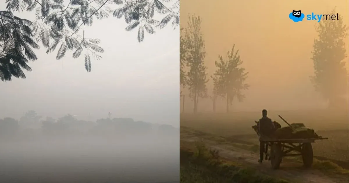
- Cold wave conditions gripped Punjab, Haryana and north Rajasthan, while fog remained widespread across northeast and eastern India.
- The next 24 hours may bring more rain to Tamil Nadu and Andhra Pradesh, light snow to upper Jammu & Kashmir and Ladakh, and continued cold wave conditions in northwest India.
The weather system over the country:
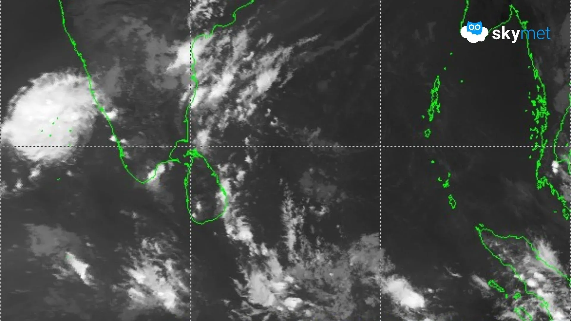
The western disturbance as a cyclonic circulation over Pakistan and adjoining Punjab is now over north Punjab and adjoining areas between 3.1 and 4.5 km above mean sea level.
The induced cyclonic circulation is over northwest Uttar Pradesh.
A cyclonic circulation is over the southeast Arabian Sea and Lakshadweep.
The low-pressure area over north Tamil Nadu and its associated cyclonic circulation has become less marked.
A fresh western disturbance may affect the western Himalayas from tomorrow, December 5th.
Weather Activity in the last 24 hours:
During the last 24 hours, light to moderate rain with a few heavy spells occurred over south coastal Andhra Pradesh and Rayalaseema.
Light to moderate rain occurred over Tamil Nadu and Kerala.
Light rain occurred over coastal Andhra Pradesh and south interior Karnataka.
Moderate to shallow fog occurred in northeast India.
Cold wave conditions occurred over parts of Punjab, Haryana and north Rajasthan.
Shallow fog occurred in parts of northeast India, Bihar, Odisha, east Uttar Pradesh and west Madhya Pradesh.
Forecast for the next 24 hours:
During the next 24 hours, light to moderate rain and thunderstorms with a few heavy spells may occur over the south coast of Andhra Pradesh and parts of Tamil Nadu.
Light to moderate rain may occur over Tamil Nadu, coastal Andhra Pradesh and Kerala.
Light rain is possible over south Lakshadweep and south Karnataka.
Light rain and snowfall may occur over the upper reaches of Jammu & Kashmir and Ladakh.
Cold wave conditions are possible over parts of Punjab, Haryana, Delhi and Rajasthan.
Dense fog is possible over parts of northeast India.
Do not miss:
Any information picked from here must be attributed to Skymet!