Weather update and forecast for December 20 across India


KEY TAKEAWAYS
- Back-to-back Western Disturbances will affect the western Himalayan region.
- Rain and snowfall activity will peak on December 21.
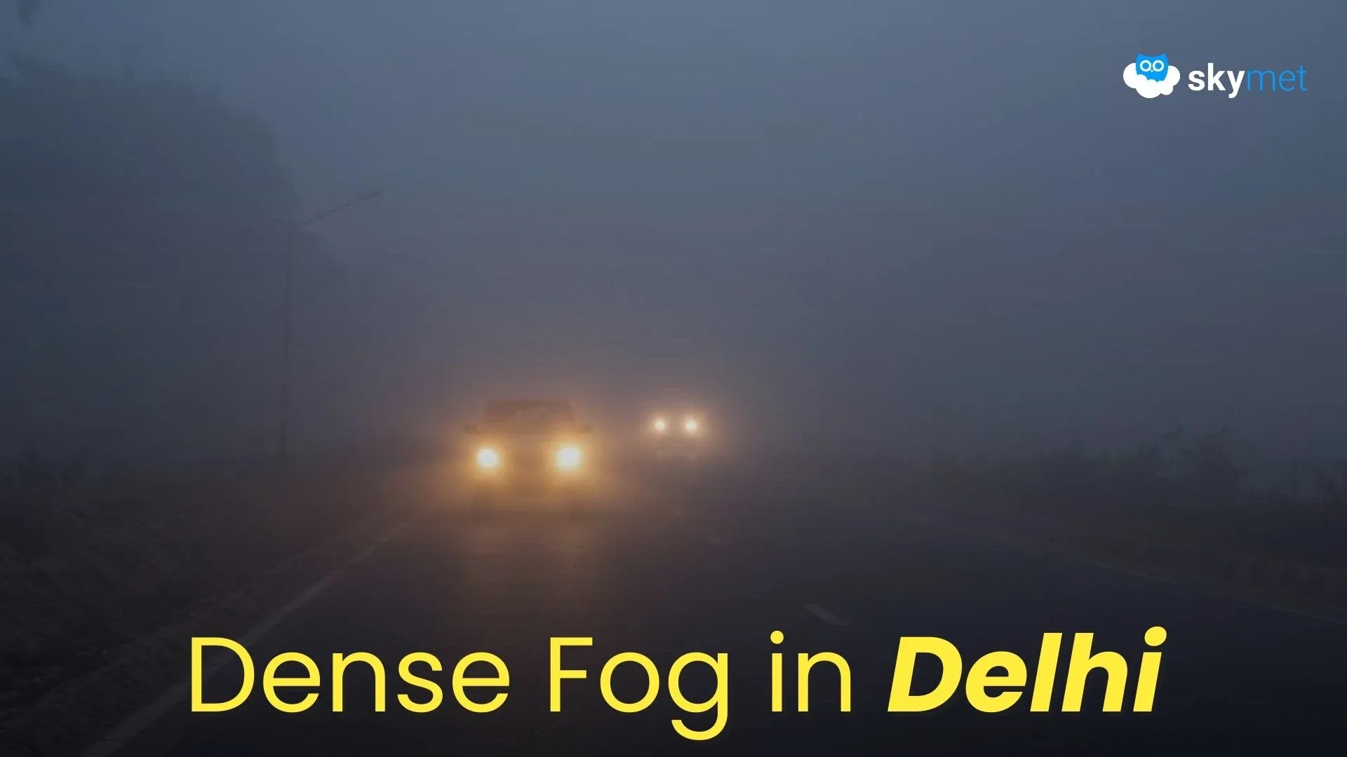
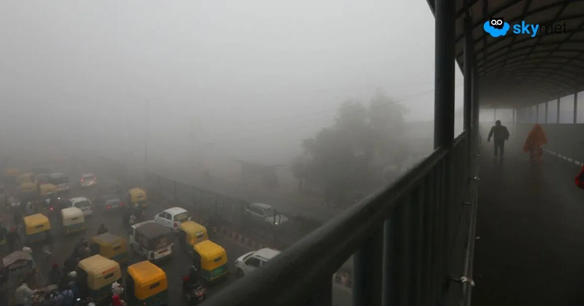
- Dense to very dense fog will continue across the Indo-Gangetic plains.
- Most parts of the country will remain dry.
The weather system over the country:
A Western Disturbance is seen as a cyclonic circulation over southwest Iran and adjoining areas at 5.8 km above mean sea level.
Another Western Disturbance is seen as a cyclonic circulation over Jammu and adjoining areas at 3.1 km above mean sea level.
A cyclonic circulation is present over south Kerala.
The Sub-Tropical Westerly Jet Stream, with core winds of the order of up to 100 knots at 12.6 km above mean sea level, prevails over north India.
Weather Activity in the last 24 hours:
During the last 24 hours, light to moderate rain occurred over the Andaman and Nicobar Islands.
Weather remained dry over the rest of the country.
Very dense fog occurred over parts of Punjab, Haryana, Delhi, Uttar Pradesh, and Bihar.
Moderate fog occurred over north Chhattisgarh, north Jharkhand, and northeast Madhya Pradesh.
Shallow to moderate fog occurred over Northeast India.
Forecast for the next 24 hours:
During the next 24 hours, light rainfall and snowfall are possible at many places over Jammu & Kashmir, Ladakh, Gilgit-Baltistan, and Muzaffarabad on December 20 and 21.
Heavy rain and snowfall are possible at isolated places over Jammu & Kashmir, Ladakh, Gilgit-Baltistan, and Muzaffarabad on December 21.
Light rain and snowfall may occur over Himachal Pradesh between December 20 and 22, and over Uttarakhand on December 20 and 21.
Dense to very dense fog is likely over the Indo-Gangetic plains from Punjab to Bihar, including Haryana, Delhi, and Uttar Pradesh.
Do not miss:
Any information picked from here must be attributed to Skymet!