Low-Pressure Area To Form Over the Arabian Sea: May Intensify into a Depression


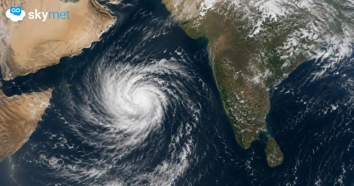
Representational Image: AI-Skymet
Key Takeaways:
- A cyclonic circulation may form over the South-Central Arabian Sea on May 21.
- The system could intensify into a depression by May 23.
- The weather system may weaken crucial monsoon winds near Kerala Coast.
- Rainfall over Kerala and South Peninsula may remain below normal during May 24–26.
Just ahead of the monsoon onset, the wind pattern over the Arabian Sea is showing signs of disturbance. Preliminary indications suggest the formation of a cyclonic circulation over the South-Central Arabian Sea on May 21, 2026. The system is likely to organize into a low pressure area on May 22 and may further intensify into a depression over the West-Central Arabian Sea the following day. Thereafter, the system is expected to track northwestward towards the Somalia-Yemen coast.
Weather systems forming over the Arabian Sea and moving towards the Gulf of Aden around this time of the year are generally considered unfavorable for the advancement of the Southwest Monsoon.
As these systems intensify, they tend to pull away the cross-equatorial flow from the West Coast of India. This inhibits the strengthening of zonal westerly winds over the Southeast Arabian Sea and Lakshadweep region adjoining the Kerala Coast, which is one of the key parameters required for the onset of the monsoon.
This developing weather system is likely to induce northwesterly winds in the lower and middle atmospheric levels off the Kerala-Karnataka coast. Such changes may not only disrupt the prevailing wind pattern but also suppress rainfall activity over the region. Adequate rainfall is unlikely over interior parts of Kerala and the southern Peninsula between May 24 and May 26, 2026. The rainfall may remain below the threshold generally required for monsoon onset. Developments over the Arabian Sea and the resulting changes in wind patterns will need close monitoring to assess the progress of the Southwest Monsoon.