Heavy Rainfall Over Uttar Pradesh

Key Takeaways:
- West Uttar Pradesh is expected to witness heavy to very heavy rainfall between August 4 and 7.
- The most intense weather activity is likely on August 5 with thunderstorms, lightning, and strong winds.
- Western districts and the foothill regions are expected to receive significantly more rainfall than eastern Uttar Pradesh.
- Scattered showers are likely to continue over the weekend after the main spell.
- Forecast Validity: Next 3 to 5 days.
The state of Uttar Pradesh is likely to witness a major monsoon spell over the coming days. Heavy to very heavy rainfall is expected at isolated places, with the western half of the state remaining more vulnerable to intense weather activity. The inclement weather will also extend to the foothills adjoining Uttarakhand and neighbouring Nepal.
West Uttar Pradesh has fared better than the eastern parts so far during the monsoon season. While East Uttar Pradesh continues to have a large rainfall deficit of 34%, West Uttar Pradesh is near the normal category with a deficit of 18%. The upcoming spell between August 4 and August 7 is expected to drench the western parts much more than the Purvanchal region.
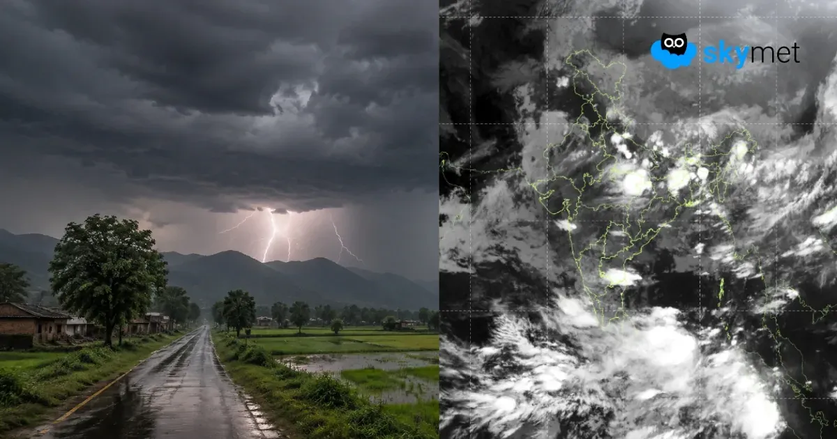
The monsoon trough is shifting north of its normal position and will remain close to the foothills between August 4 and August 7. A western disturbance will arrive over the northern mountains on August 4, pulling the monsoon trough further north. Under the combined influence of these systems, strong monsoon activity is expected across West Uttar Pradesh and the adjoining foothills. Severe thunderstorm activity, accompanied by lightning and strong winds, is likely for nearly four days between August 4 and August 7, with the peak of the rough weather expected on August 5.
The districts at greater risk include Auraiya, Etah, Etawah, Firozabad, Mainpuri, Kannauj, Lucknow, and Kanpur across the hinterland, along with Bareilly, Pilibhit, Rampur, and Moradabad near the foothills. Other parts of the state are also expected to witness light to moderate rain and thundershowers. The remnant effect of this weather activity is likely to continue over the weekend in the form of scattered rainfall.