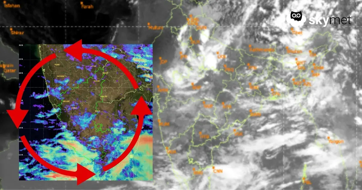
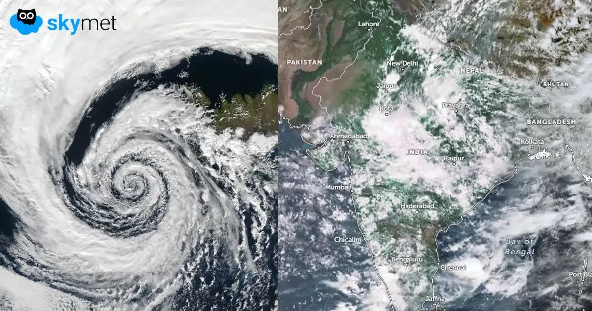
Low-Pressure Area Over Jharkhand-West Bengal: Heavy Rains Likely
Aug 25, 2026, 1:15 PM

Key Takeaways:
- The existing low pressure area is likely to move slowly towards the Bihar-Jharkhand-Chhattisgarh tri-junction and linger for a day or two.
- Another cyclonic circulation may develop around August 27 over the North Bay of Bengal and adjoining Odisha-West Bengal coast, potentially triggering a fresh low pressure area.
- Widespread rainfall is likely across Jharkhand, North Odisha, North Chhattisgarh and East Madhya Pradesh, extending into parts of Uttar Pradesh and West Madhya Pradesh.
- The prolonged wet spell may continue into early September, with isolated very heavy rainfall posing a risk of localized flooding and waterlogging.
- Forecast Validity: Next 2 to 3 days.
Advertisement
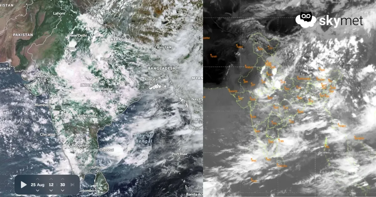
Yesterday’s low pressure area now lies over Gangetic West Bengal, North Odisha and Jharkhand. The cyclonic circulation extends beyond 20,000 feet, tilting southwestward with height. It is likely to move northwestward, albeit slowly, and get placed over the tri-junction of Bihar, Jharkhand and Chhattisgarh. The system is unlikely to move deep inland and is expected to linger over the same area for a day or two.