Massive Cloud Band Spreads Across North India; Relief from Heat Likely, El Niño Watch Continues

Key Takeaways:
- A massive cloud band has spread from Pakistan across North and Central India.
- Thunderstorms, lightning, dust storms and scattered rain are likely over North India.
- Moisture from both the Arabian Sea and Bay of Bengal is fuelling weather activity.
- El Niño monitoring continues, but current weather changes are linked to regional systems.
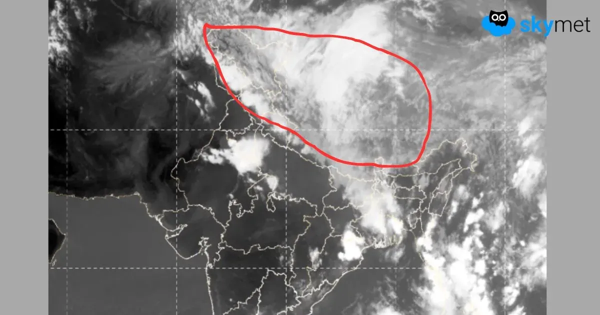
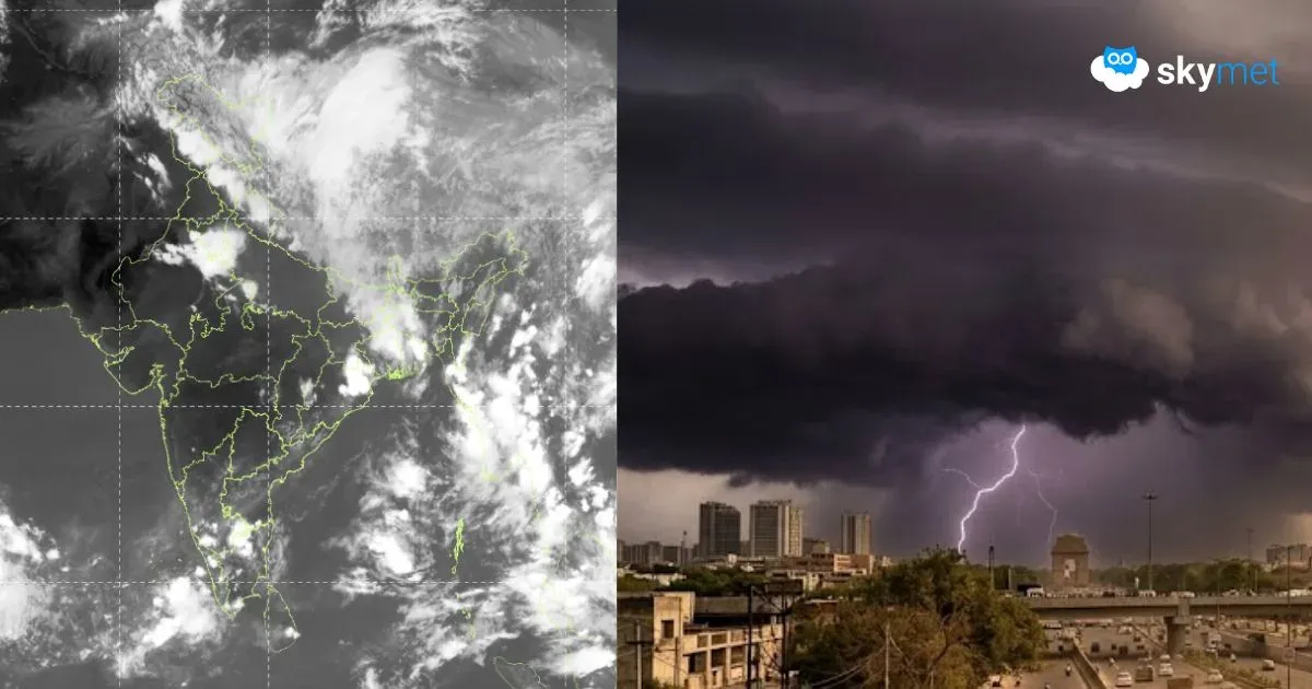
A vast cloud band stretching from Pakistan across Northwest, Central and East India has become visible in the latest satellite imagery, signalling a significant increase in pre-monsoon weather activity over the northern plains. The cloud shield extends across Punjab, Haryana, Delhi, Uttar Pradesh and parts of Central India before merging with cloud clusters over eastern India and the Bay of Bengal.
The satellite pictures also reveal a cyclonic circulation over northern Pakistan and adjoining Jammu & Kashmir, associated with an active Western Disturbance. Moisture incursion from both the Arabian Sea and Bay of Bengal is helping organize widespread cloudiness and thunderstorm activity across the region.
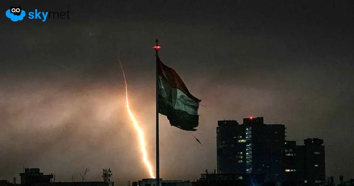
After enduring severe heatwave conditions, many parts of North India are now likely to witness thunderstorms, lightning, dust storms, gusty winds and scattered rain over the next few days. Mountain states may also receive moderate to heavy rainfall under the influence of the same weather system.
The extensive cloud cover and increasing thunderstorm activity indicate a sharp rise in atmospheric instability, typical of the pre-monsoon transition period. However, these weather developments are being driven by regional weather systems and should not be directly linked to the evolving El Niño event in the Pacific Ocean.
Meanwhile, attention remains focused on the Pacific, where ocean temperatures have risen rapidly since January and climate models continue to favour the emergence of El Niño during the coming months. Current projections suggest that any strong or very strong El Niño phase is more likely to develop after the Indian monsoon season. Historical records show that even powerful El Niño events do not necessarily result in deficient monsoon rainfall, although they can increase the risk of adverse weather impacts later in the season.
For now, the immediate focus remains on the active pre-monsoon weather pattern, which is expected to provide much-needed relief from the intense heat across large parts of North India.
Related Articles: