Moderate-Heavy Rainfall In Delhi: More Showers Till Weekend

Key Takeaways:
- Delhi/NCR recorded its first widespread monsoon spell, with heavy rainfall in Najafgarh and Gurugram.
- Minimum temperatures dropped sharply following the rainfall, bringing pleasant weather across the region.
- An active low-pressure area and easterly winds will continue to support intermittent rain until July 10.
- Rainfall is expected to decrease after July 11, with temperatures gradually rising from Sunday onward.
- Forecast Validity: Next 3 to 5 days.
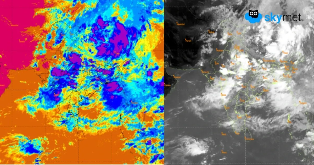
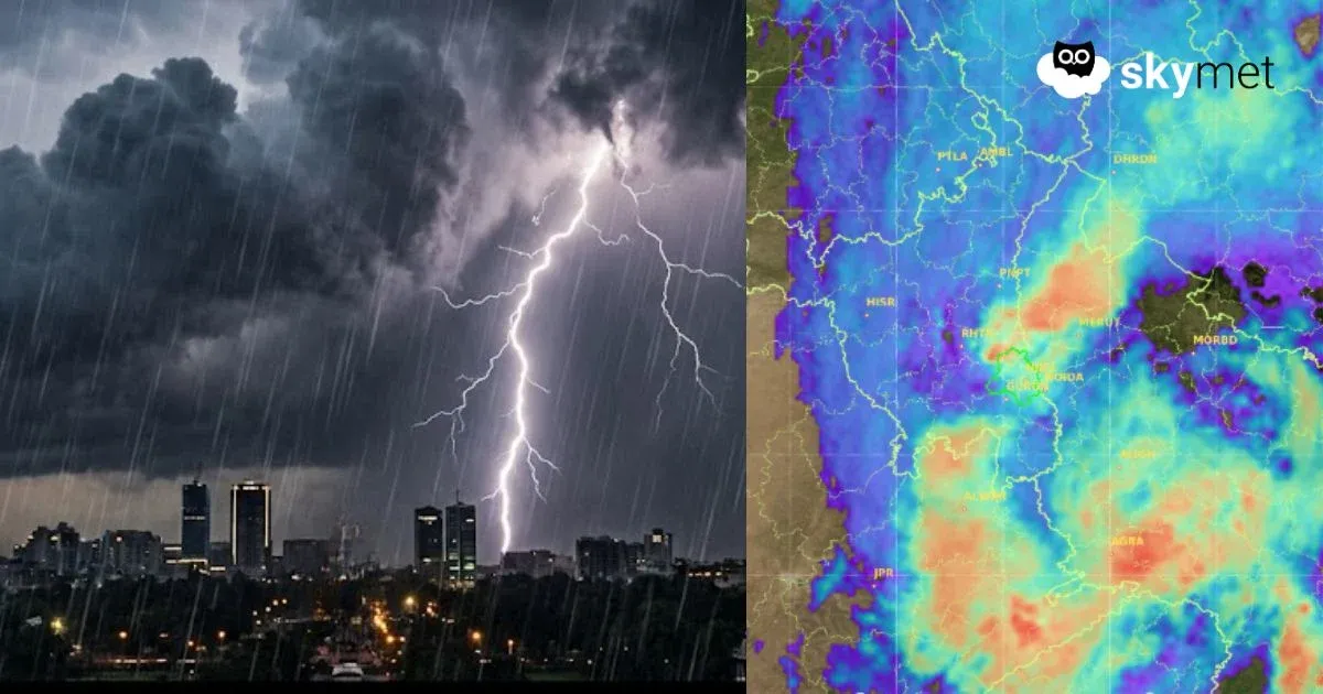
Delhi/NCR received the first typical monsoon rains in the past 24 hours. It was fairly widespread monsoon activity, light to moderate at most places and heavy at one or two locations. Base station Safdarjung received 14.2 mm, airport Palam 19.2 mm and Lodhi Road Office 17.8 mm of rainfall for the period ending at 8:30 a.m. The other weather stations at Ayanagar, Ridge and Najafgarh recorded 38 mm, 54 mm and 84 mm of rainfall, respectively. On the outskirts of Delhi, Gurugram had the first heavy monsoon shower of the season, registering 80 mm of rainfall. More showers of a somewhat similar kind are likely today as well.
With the fairly widespread weather activity, the minimum temperature dropped well below normal. Earlier, the city had witnessed the warmest night of the last two years on 06th July, with a minimum temperature of 30°C, and the mercury plunged to 25.4°C this morning. The day temperature is also likely to dip, more likely tomorrow and the day after, when the showers will increase in spread and intensity.
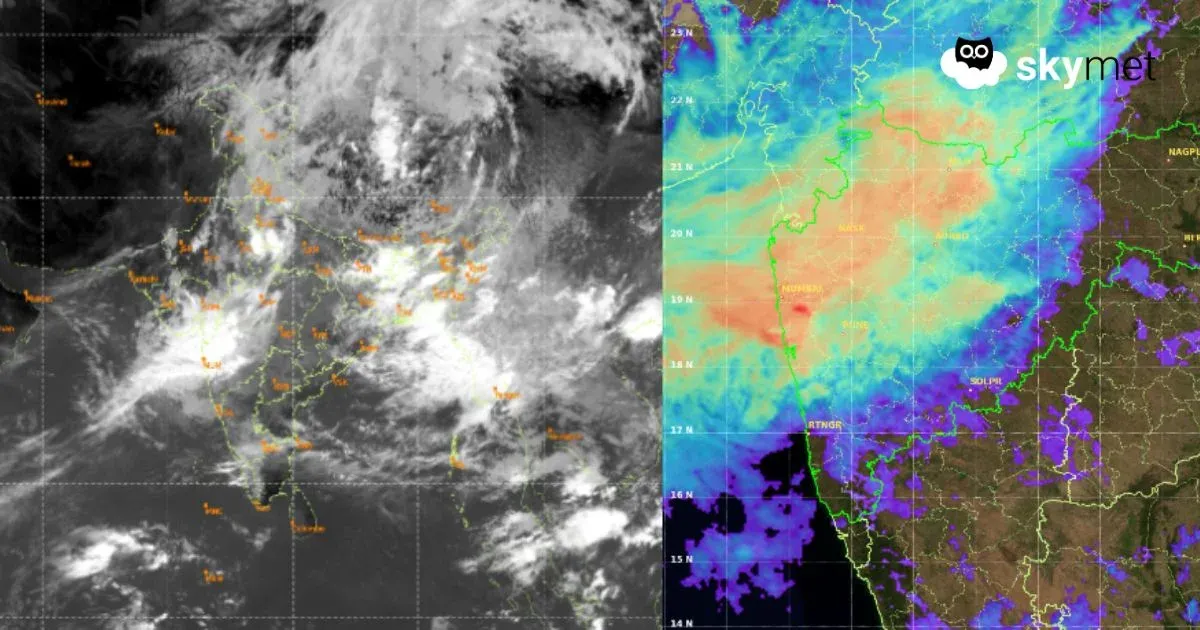
The low pressure area over Northeast Madhya Pradesh and Southwest Uttar Pradesh is associated with a cyclonic circulation. The east-west monsoon trough passing through this circulation is running south of Delhi, but in reasonably close vicinity. This is what is triggering monsoon showers over Delhi/NCR. The wind pattern in the lower and middle levels has completely changed to easterly. Therefore, most of the clouds will move from east to west across the city and suburbs, bringing monsoon bursts. Weather activity is expected between 08th and 10th July, keeping the conditions pleasant. The wind pattern will revert to westerlies from 11th July onwards.
The low pressure area is likely to weaken gradually, but the circulation will remain and shift over Northwest Madhya Pradesh tomorrow and break up along the foothills of West Uttar Pradesh a day later. Delhi will continue to have intermittent rains, intense in some parts, for the next three days. The remnant effect of the trough will be seen on 11th July, when the activity starts receding. The rains may go missing for a few days from Sunday onwards, and the day temperature will have a rising trend.