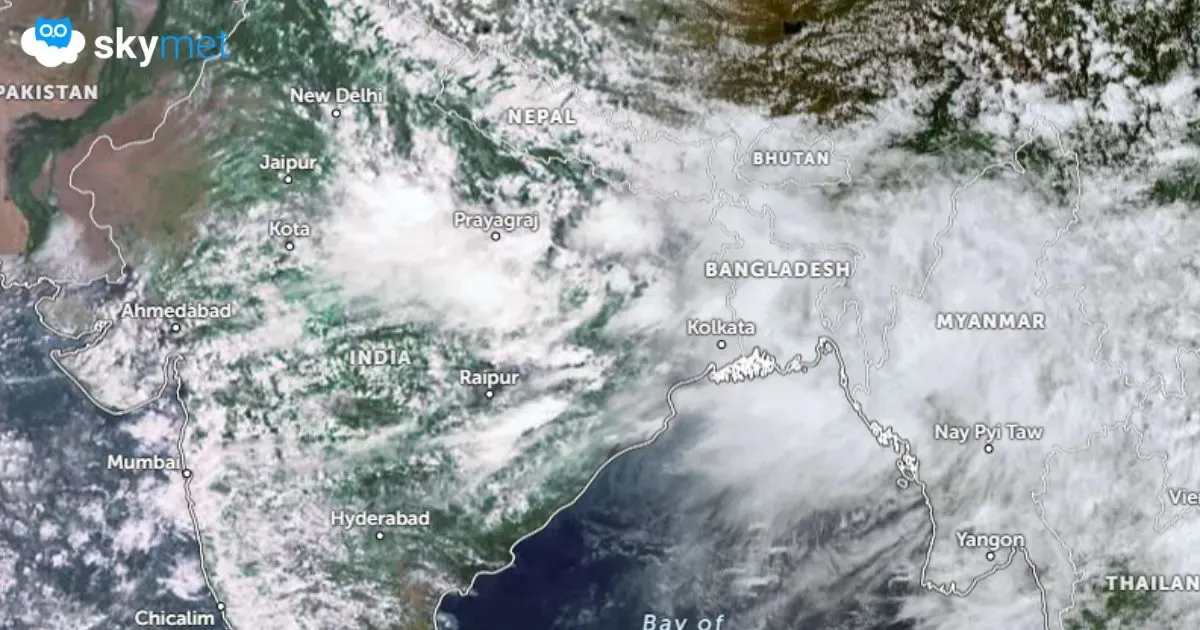
Monsoon Focus Shifts to Eastern Flank: Vigorous Activity During The Week

Key Takeaways:
- Heavy rainfall is expected over Bihar, Jharkhand, East Uttar Pradesh, Odisha and adjoining states on August 5–6.
- Odisha has emerged as the best-performing state with a 26% seasonal rainfall surplus, while Bihar remains 40% deficient.
- Monsoon activity will weaken over western and southern India as the rain belt shifts eastward.
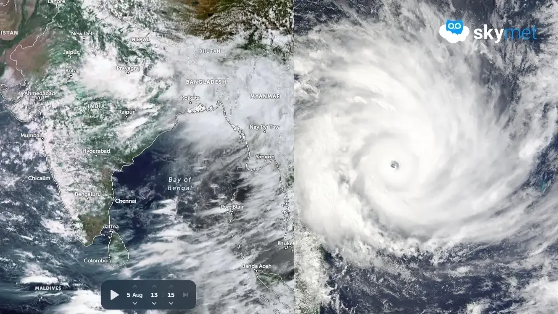
- Another active spell of rainfall is likely between August 12 and 15, especially along the Himalayan foothills and Northeast India.
- Forecast Validity: Till the second week of August.
The month of July delivered good monsoon rainfall over the western and central parts of the country. The core monsoon rain-fed zone witnessed a decent recovery. However, the eastern parts received a smaller share of rainfall and continue to remain rain-deficient, albeit with a marginal improvement.
During this week, fairly widespread rainfall with isolated heavy showers is expected over the rain-starved regions of Bihar, Jharkhand, East Uttar Pradesh and East Madhya Pradesh. A striking departure from the pattern observed over the past couple of years is that West Bengal, Odisha and Chhattisgarh have performed remarkably well, erasing the rainfall deficiencies suffered earlier in the season. Odisha has outperformed the rest, recording a seasonal rainfall surplus of 26%. West Bengal and Chhattisgarh have also remained comfortable with marginal seasonal deficits of just 2% and 5%, respectively. The major rainfall deficiencies continue to persist over Bihar (-40%), Jharkhand (-32%) and East Uttar Pradesh (-32%).
The monsoon focus will now largely shift towards the eastern and northeastern parts of the country. However, the irony is that heavy rainfall is expected to lash the flood-affected areas of the Assam Valley along the Brahmaputra and adjoining parts of Meghalaya. As the monsoon activity shifts eastward, most other regions, particularly the western and southern parts of the country, are likely to witness a slowdown in rainfall activity. Meanwhile, the mountainous states of North India and the adjoining foothills are expected to experience an increase in heavy rainfall activity.
On August 5 and 6, heavy rainfall is expected over large parts of Odisha, West Bengal, Bihar, Jharkhand, North Chhattisgarh and East Uttar Pradesh. The eastern parts of Madhya Pradesh will also witness moderate monsoon activity. During the subsequent three days, from August 7 to 9, intense weather activity is likely to remain concentrated around the junction of four states—Odisha, Jharkhand, Bihar and Chhattisgarh—while the remaining parts of these states are expected to receive light to moderate rainfall.
After a brief reduction in rainfall activity for about two days, a fresh monsoon pulse is likely to revive rainfall across these regions between August 12 and 15, 2026. During this period, the monsoon trough is expected to shift well north of its normal position. While this may not qualify as a typical monsoon "break," heavy rainfall is likely to become concentrated along the Himalayan foothills, including Nepal, Bihar, Sikkim, Sub-Himalayan West Bengal, Arunachal Pradesh, Assam and Meghalaya.
Trending: