Week Long Rain-Snow Over Northern Mountains: Hailstorm At Few Places

weather update
Key Takeaways:
- Back-to-back western disturbances to extend snowfall season in North India
- Peak snowfall activity expected on April 3–4 and April 7–8
- Kashmir and Himachal Pradesh to face higher impact with travel disruptions
- Pre-monsoon heat in plains likely to stay suppressed in early April
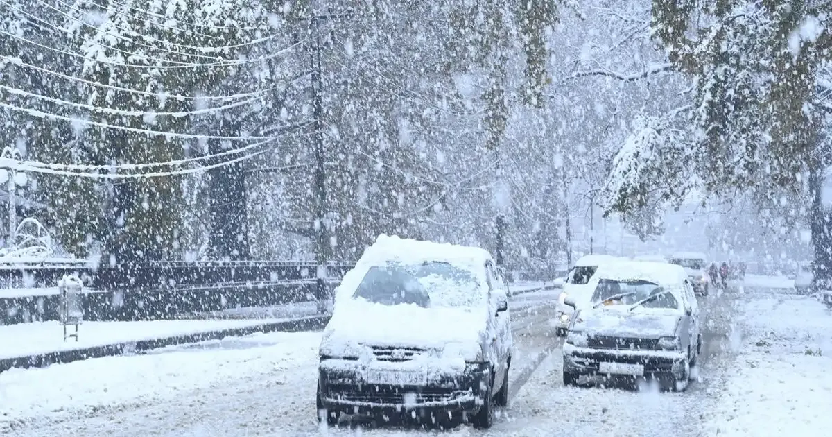
Month of March had an excess of western disturbances moving across the hills of North India. The same pattern continues. More western disturbances will result in an extended snowfall season for the region, across all the hilly states. Persistent snowfall in the mid and higher reaches attaches an alarm for caution to be exercised, both by the locals and the tourists.
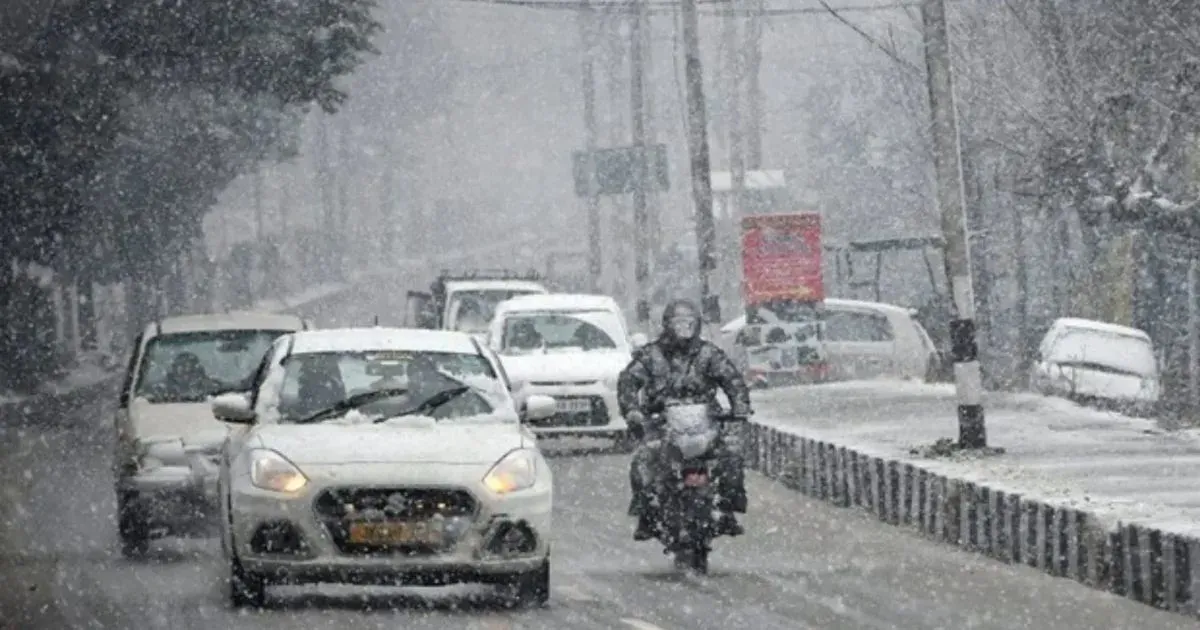
As of late March and early April, Kashmir is experiencing unusual spells of snowfall in the higher reaches like Gulmarg, Pahalgam, and Pir Panjal ranges. The unexpected spell caused temporary closure of key routes and also intensified the abnormal cold conditions. Late March snowfall has covered the higher reaches of Himachal Pradesh, including Keylong, Solang Valley, and areas around Atal Tunnel. Yesterday, fresh snowfall lashed Doda district of Jammu & Kashmir, bringing a sharp change in the weather conditions.
Two active western disturbances are likely to move across the northern mountains in quick succession. The first one will approach the Western Himalayas tomorrow and influence the weather activity between 03rd and 05th April. Close on its heels, the next weather system will nearly overlap with the first and impact the entire region between 07th and 09th April. Peak activity during this period will come up on 03–04 April and again on 07–08 April 2026.
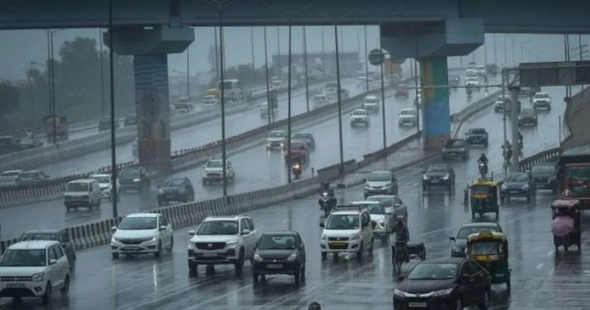
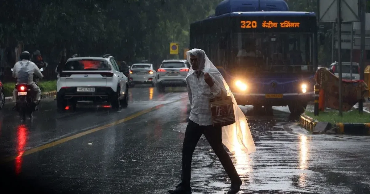
The mid and higher reaches will have fairly widespread snowfall and the lower hills will get rain and thundershowers. Occurrence of some hailstorm is also likely at a few places. The sharp turn in the weather conditions will temporarily impact the road network and air services across the hilly states. Jammu & Kashmir will have the bigger risk of inclement weather conditions, followed by Himachal Pradesh. The snow and rain in the hills will have a bearing on the weather conditions in the plains too. The typical pre-monsoon heat is unlikely to come up, at least during the first half of April. The trail of some more disturbances is expected to follow, which will keep the mountains white and wet past mid-April.