Daily Weather Update for India, February 27: Forecast and Regional Conditions

Representational Image: AI-Skymet
Key Takeaways:
- Multiple cyclonic circulations are active across Bay of Bengal, Arabian Sea, and Northwest India.
- Light to moderate rain affected Kerala, Tamil Nadu, Andhra Pradesh, Assam and Andaman & Nicobar Islands.
- Fairly widespread rain likely over Andaman & Nicobar Islands on February 26.
- Isolated thunderstorms expected over Telangana, Kerala and parts of North India hills.
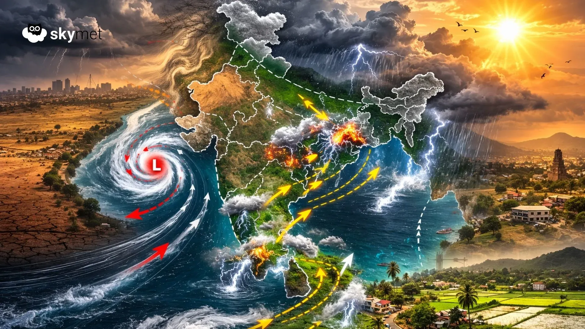
Weather systems over the country
A cyclonic circulation is over the Southeast Bay of Bengal, extending up to 1.5 km above mean sea level.
A cyclonic circulation is over East Assam.
A cyclonic circulation is over the Northeast Arabian Sea and adjoining off the Gujarat coast between 1.5 and 3.1 km above mean sea level.
A cyclonic circulation is over South Interior Karnataka at 1.5 km above mean sea level.
A trough extends from South Northwest Tamil Nadu to Madhya Maharashtra across Interior Karnataka.
A cyclonic circulation is over Central Pakistan.
Another cyclonic circulation is over Southeast Rajasthan and adjoining areas.
Weather activity during the last 24 hours
During the last 24 hours, light to moderate rain occurred over Kerala and the Andaman and Nicobar Islands, South and Interior Tamil Nadu, Coastal Andhra Pradesh, and Assam.
Light rain occurred over Coastal Odisha and Telangana and at one or two places in Interior Karnataka.
Weather Forecast:
During the next 24 hours, fairly widespread rain may occur over the Andaman and Nicobar Islands.
Isolated light to moderate rain and thunderstorms may occur over Telangana, North Interior Karnataka, and Kerala.
Isolated light rain and thunderstorms are possible over Jammu & Kashmir, Himachal Pradesh, and Uttarakhand.
Skymet Exclusive: Risk of Sub-Par Monsoon and drought Over India Rises in 2026