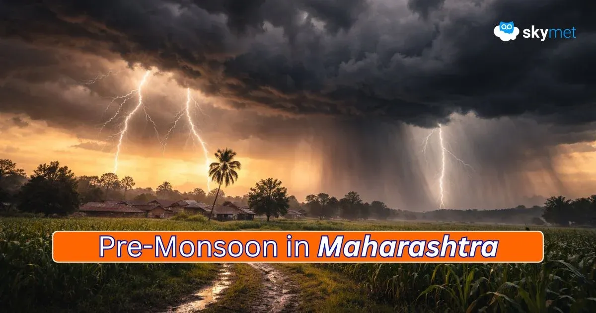
Pre-Monsoon Activity Cools Delhi: More Showers Likely

Representational Image: AI-Skymet
Key Takeaways:
- Delhi/NCR received its first widespread pre-monsoon rainfall of the season, with Safdarjung recording 1.2 mm rainfall.
- The rainfall spell helped reduce daytime temperatures after a prolonged warm phase in early March.
- Another western disturbance and induced circulation may trigger thundershowers around March 19–20.
- Day temperatures are expected to remain controlled, likely staying at or below 33°C this week.
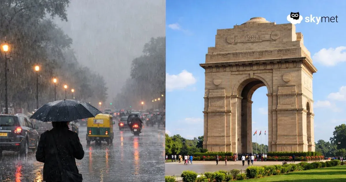
As expected, the entire Delhi/NCR received the maiden wet spell of the pre-monsoon season. The rains were not heavy, but the spread was large, covering Delhi, Noida, Ghaziabad, Faridabad, and Gurugram. In fact, the entire northern plains witnessed rainfall activity starting in the early hours of Sunday and continuing till late in the day. The Delhi/NCR activity lasted till the forenoon hours and improved during the rest of the day. More showers are likely during this week.
The base station Safdarjung recorded a total of 1.2 mm rainfall during the wet spell. The normal rainfall for the month is 19.1 mm. The national capital has exceeded the normal rainfall only once during the last five years, in March 2023 with 53.2 mm. The monthly rainfall was zero in 2022. Last year, the figure stood at 1.8 mm and 4.3 mm the year prior. But this time, a couple of rounds of pre-monsoon showers are expected within the next one week.
The wet spell has lowered the day temperatures, which otherwise had risen appreciably above normal for more than one week. The maximum temperature has remained above normal during the first half of March. The temperature had exceeded 35°C on six days at a stretch, between 07th and 12th March 2025. The highest so far was 36.8°C recorded on 11th March 2025. The maximum temperature recorded yesterday was 30.1°C, the lowest this month but still above normal by 1.2°C. There is no sharp rise in temperature expected during this week, and the day high may get arrested at or below 33°C.
The western disturbance is still moving across the northern mountains. However, Delhi will not have any pre-monsoon activity till 18th March 2026. Another western disturbance is likely to arrive by late tomorrow. An induced circulation is likely a day later over Rajasthan and will shift eastward over the subsequent two days. Another feature of an east-west trough will run in close proximity to Delhi between 19th and 21st March. The capital city and suburbs will have the next round of thundershowers, more significantly on 19th and 20th March. The remnant effect may even last on 21st March but will find an early clearance. Broad improvement is likely on 22nd March, Sunday. Some more activity can be expected during the next week as well.
Trending: Redefined ENSO May Extend La Nina Conditions Beyond Spring Barrier: El Nino Likely During Monsoon