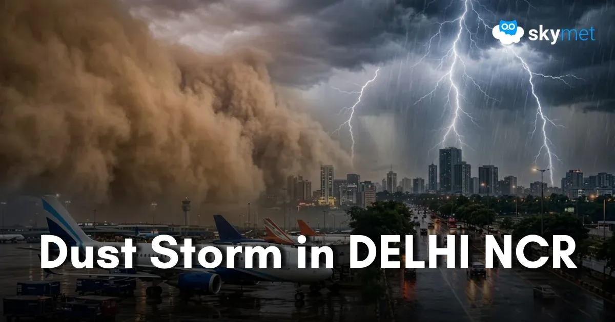
Gale Winds Strike Delhi Airport: Week-Long Spell Of Thunderstorm-Dust Storm Likely

Representational Image: AI-Skymet
Key Takeaways:
- Palam Airport recorded wind speed of 120 kmph during severe dust storm
- Multiple inbound flights diverted due to poor flying conditions
- More intense dust storm and thunderstorm activity likely between June 11 and 13
- Heatwave conditions expected to ease from June 12 onward
Weather conditions packed up twice yesterday over Delhi and the neighbourhood. The first spell hit late in the evening and the second spell struck late in the night. Palam Airport recorded wind speed of 120 kmph during a severe dust storm, which was followed by rain and thundershowers. Multiple flights inbound for Delhi were diverted to alternate aerodromes. Weather conditions around the aerodrome became flyable after midnight. Severity of the weather was higher around the airport, while Safdarjung and Lodi Road were comparatively better. Light rainfall was recorded across most parts of NCR.
Earlier, base station Safdarjung recorded a maximum temperature of 43.5°C, the highest so far this month. Lodi Road and Ridge weather stations registered highs of 44°C and 44.7°C respectively.
A cyclonic circulation is marked over North Rajasthan, South Punjab and adjoining border areas. Another circulation is marked over West Uttar Pradesh and the third one over East Uttar Pradesh. An east-west trough is joining these three circulations and running north of Delhi. This trough will oscillate and shift south of Delhi between 11th and 13th June. Also, a fresh western disturbance is arriving over the mountains tomorrow. This will strengthen the trough and, under their combined influence, intense weather activity is likely over Delhi and adjoining areas.
There is a small chance of thunderstorm activity today, likely later in the day. The temperature will also remain slightly lower than yesterday. Actually, after thunderstorm and dust storm activity, the prevailing atmospheric instability gets realized. It takes some time to build up again. That is why the activity on the following day is usually less intense and brief.
The intensity and spread of weather activity are likely to increase between 11th and 13th June. The weather pattern, more or less, will remain the same. Build-up of tall clouds, spells of dust storm, followed by strong winds, thunderstorms, lightning and sharp showers are expected. There could be a small break on 14th June, but conditions are likely to become favourable once again for a spell of dust-cum-thunderstorm activity between 15th and 18th June 2026.
The temperature is likely to reach about 42°C today, drop to around 40°C tomorrow and stay in the high 30s for the subsequent 4-5 days. Extreme heat conditions will abate over Delhi/NCR starting 12th June 2026.