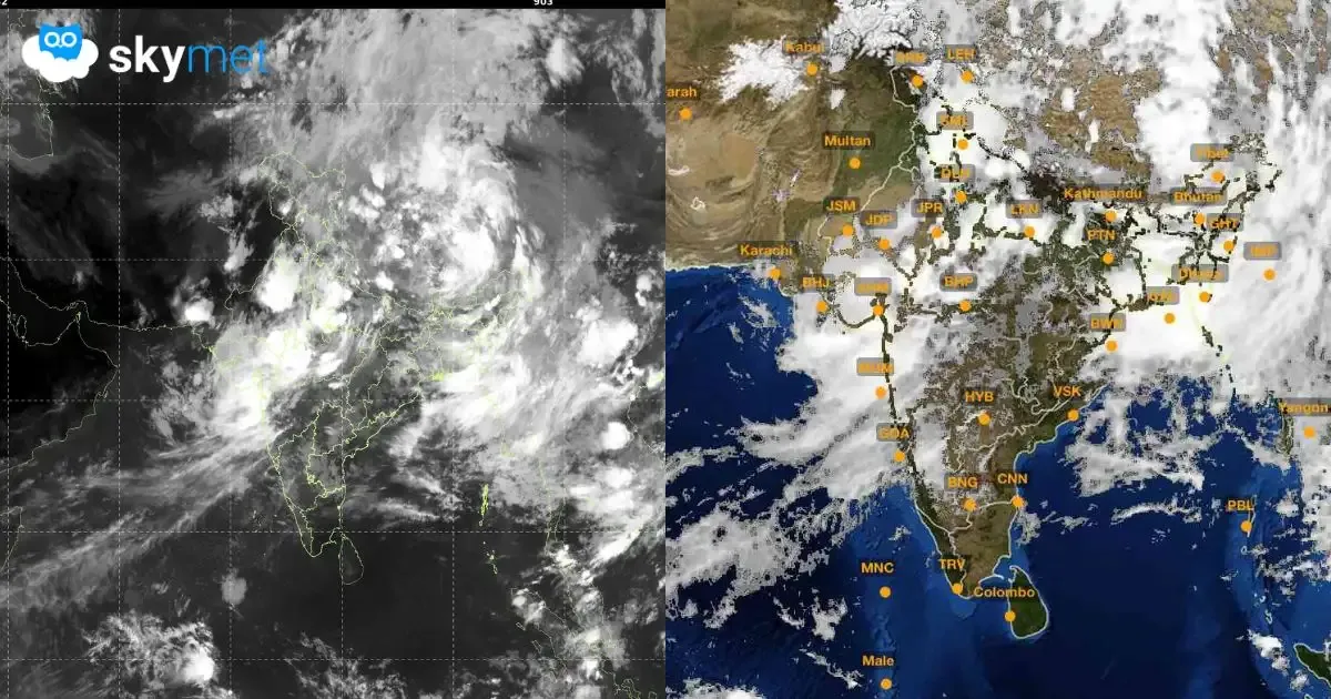
Heavy Rainfall Over Madhya Pradesh, Rajasthan, Gujarat, Madhya Maharashtra

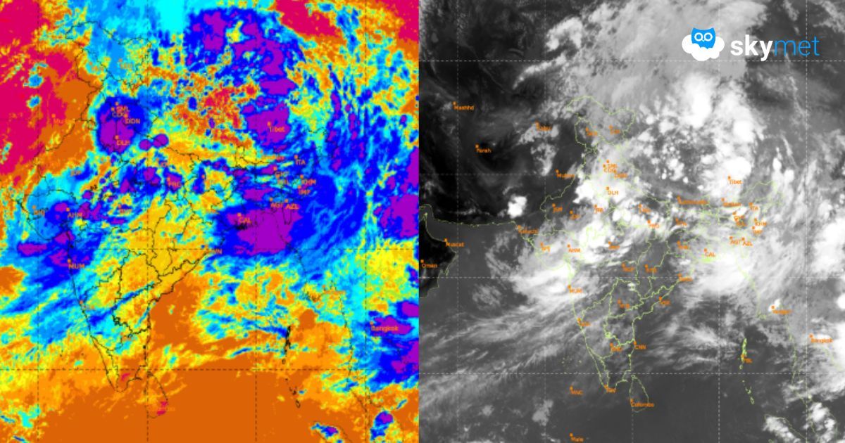
Satellite Imagery: Mosdac.gov.in
Key Takeaways:
- Heavy rainfall activity is shifting from eastern and central India towards western India.
- Madhya Pradesh, Gujarat, Rajasthan and adjoining North Maharashtra are likely to witness heavy rains over the next two days.
- Mumbai and Konkan are expected to get relief as extremely heavy rainfall gradually eases.
- Weather conditions are likely to improve across the affected region from July 11 onward.
- Forecast Validity: Next 3 to 5 days.
The heavy rainfall region is likely to shift from the central and eastern parts of the country to the tri-junction of Madhya Pradesh, Rajasthan and Gujarat. The heavy rains will spill over to reach farther parts of North Madhya Maharashtra, sharing borders with Madhya Pradesh and Gujarat. Extremely heavy rains smashing the Konkan region, including Mumbai, for the last one week will ease out. The eastern and central parts of the country will have a pause from the ravaging spell witnessed earlier.
The remnant of the depression over Chhattisgarh, now marked as a low-pressure area over East Madhya Pradesh, is supported by cyclonic circulation up to the mid-troposphere, tilting southward with height. It is likely to move west-northwest towards parts of Central and West Madhya Pradesh and Southwest Uttar Pradesh. It will take the monsoon trough along with it. The westerly current from the Arabian Sea streaming into this circulation will trigger a convergence zone over the meeting points of these states. Also, there is an east-west oriented shear zone from South Coastal Gujarat to North Odisha, passing across the low-pressure area over Madhya Pradesh. Under the combined influence of these systems, heavy rainfall is likely over the next two days. Moderate showers with isolated heavy falls will continue on July 9 as well, over Southwest Madhya Pradesh and Southeast Rajasthan.
The places at risk of heavy rainfall include Surat, Vapi, Valsad, Bharuch, Ahmedabad, Gandhinagar, Baroda, Anand, Barwani, Khargone, Khandwa, Dewas, Harda, Indore, Ujjain, Jhabua, Alirajpur, Jalgaon, Nashik, Nandurbar, Dhule, Dungarpur, Banswara, Udaipur, Chittorgarh, Jhalawar, Kota, Sirohi and Rajsamand. The remnant effect will cause scattered rain and thundershowers on July 10 over Northwest Madhya Pradesh. Broad clearance over the region is likely from July 11 onwards.
Trending: