Weather update and forecast for January 31 across India


KEY TAKEAWAYS
- Multiple western disturbances will impact northwest India between January 30 and February 2.
- Rain and snowfall will intensify over the Western Himalayas from January 31.
- Plains of northwest India may witness rain and thunderstorms in early February.
- Fog and temperature fluctuations continue across central and eastern parts.
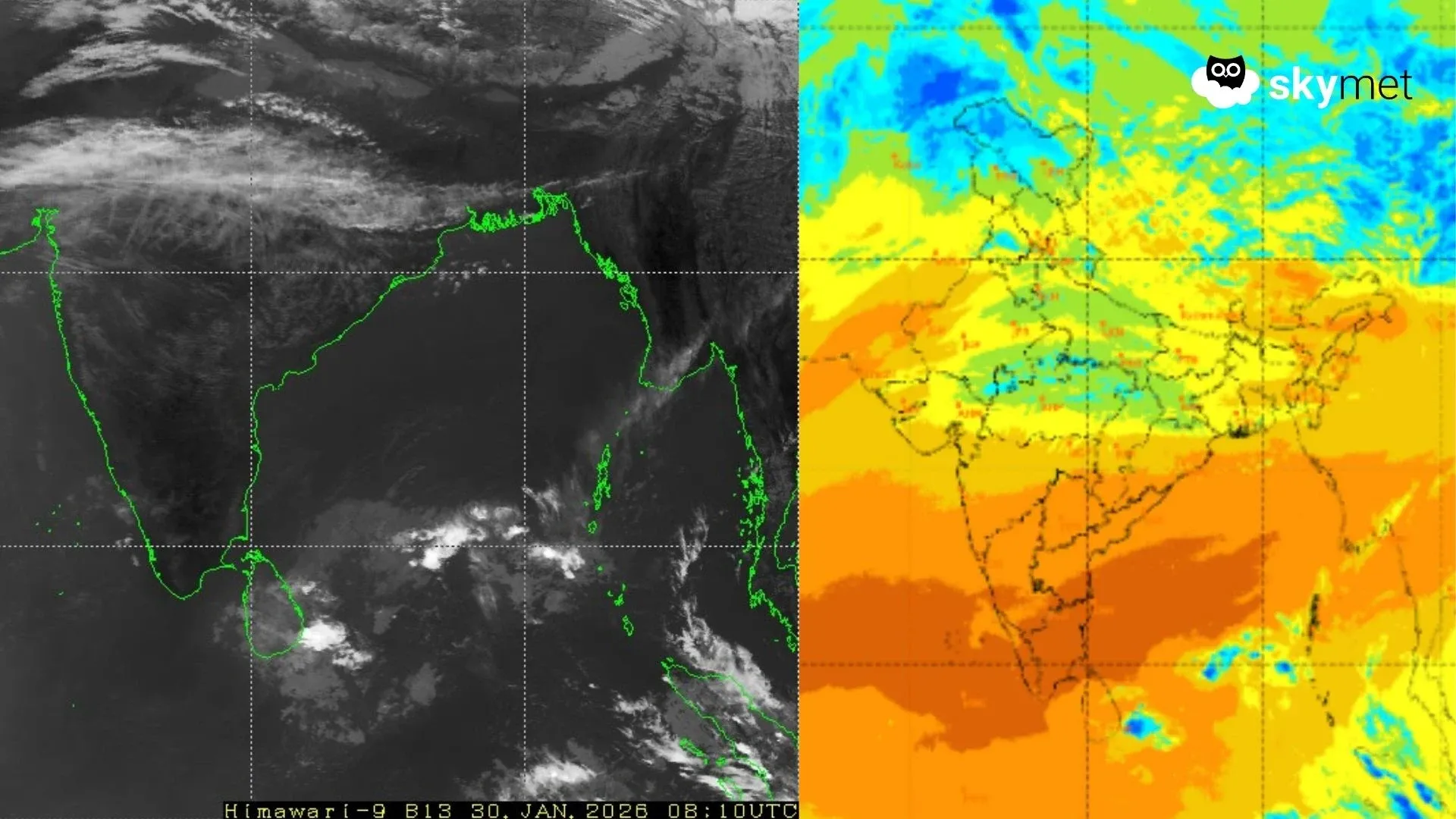
The weather system over the country:
A western disturbance is seen as a cyclonic circulation over northeast Iran between 4.5 and 5.8 km above mean sea level.
Another fresh western disturbance is likely to affect northwest India from the night of January 30 and yet another system may impact the region from February 2.
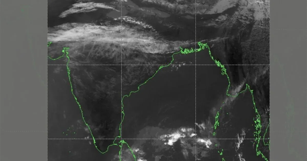
A cyclonic circulation lies over the southeast Arabian Sea and adjoining Kerala at about 0.9 km above mean sea level.
Another cyclonic circulation is present over northeast Assam.
Weather Activity in the last 24 hours:
During the last 24 hours, light, scattered rain was recorded over Kerala and Arunachal Pradesh.
Minimum temperatures dropped by 3–4°C across northwest, central, and east India.
Very dense fog was observed at a few places over Chhattisgarh, while dense fog occurred over west Uttar Pradesh.
Minimum temperatures rose by 2–4°C over Gujarat and north Konkan.
Minimum temperatures dropped by 2–4°C over east Uttar Pradesh, Madhya Pradesh, north Chhattisgarh, and parts of Bihar.
Forecast for the next 24 hours:
During the next 24 hours, isolated to scattered rain is likely to commence over the Western Himalayas from the night of January 30
Scattered light to moderate rain is possible over the Andaman and Nicobar Islands.
Rain and snowfall activity over the Western Himalayas is expected to increase from January 31 and may continue until February 2.
Isolated light rain may occur over east Rajasthan, southwest Uttar Pradesh, and north Madhya Pradesh on January 31.
Light to moderate rain with thunderstorms is likely over Punjab, Haryana, Delhi, west Uttar Pradesh, and northeast Rajasthan between February 1 and 2.
Light to moderate rain may occur over east Uttar Pradesh on February 2 and 3.
Must Read: Evolving El Nino To Keep Monsoon At Risk
Do not miss:
Any information picked from here must be attributed to Skymet!