Rain Deficit Reduces Over North India: More Showers Likely

Key Takeaways
- Northwest India recovered sharply after intense rain and snow between 22–24 January
- Mountain rainfall deficiency reduced from near-total deficit to around 30%
- Punjab, Haryana, and West Rajasthan now fall in excess rainfall category
- East Uttar Pradesh remains largely dry with severe rainfall deficit
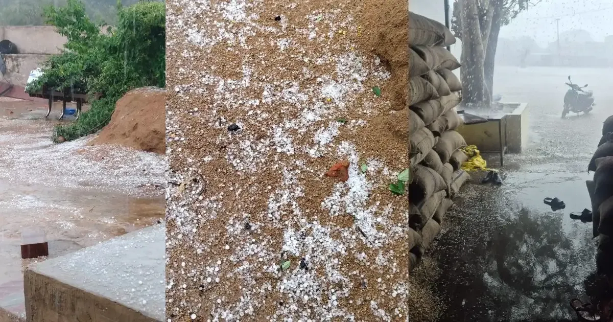
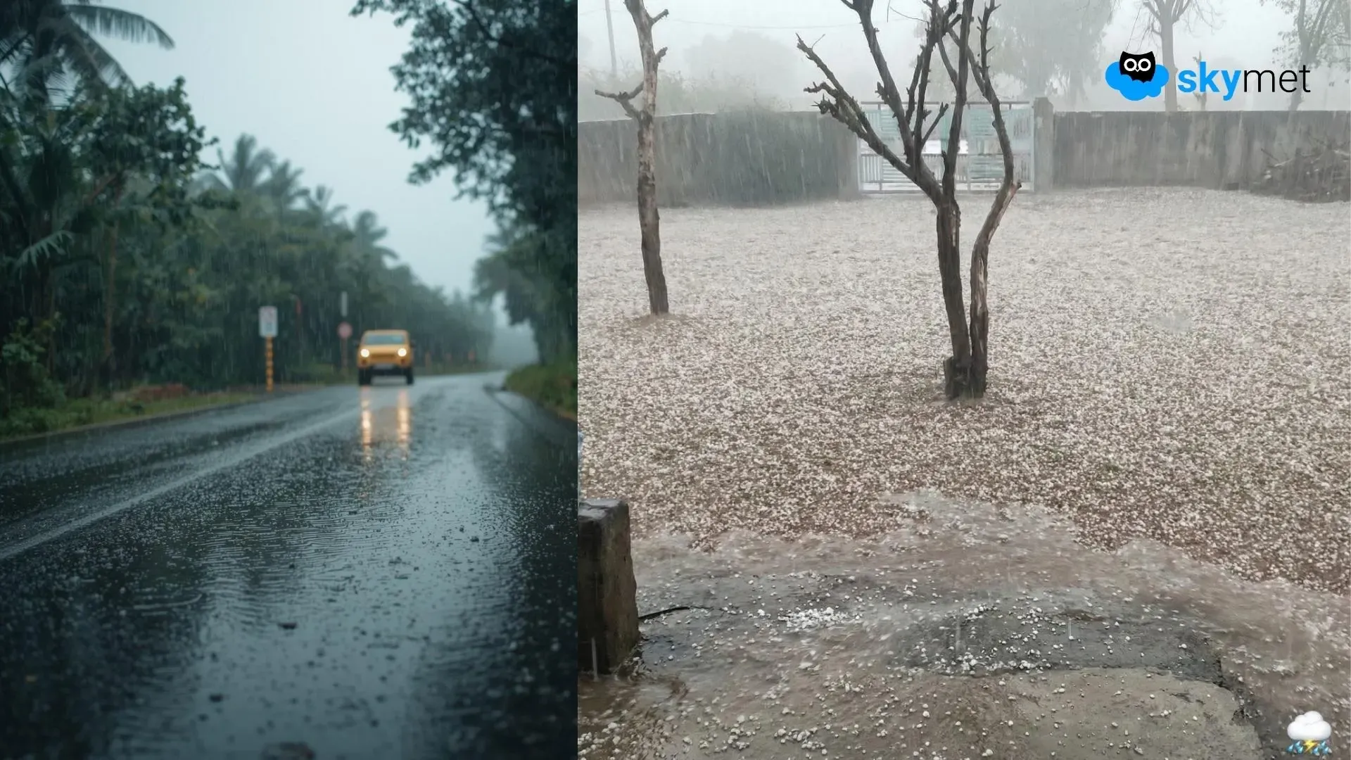
Northwest India includes the hilly states of Jammu & Kashmir and Ladakh, Himachal Pradesh, and Uttarakhand, along with the plains of Punjab, Haryana, Rajasthan, Chandigarh, Delhi, and Uttar Pradesh. The entire region had been facing drought-like conditions this winter. Rainfall and snowfall were deficient by 90–100% over the mountains, while the plains recorded a shortfall exceeding 90% till 22nd January 2026. Courtesy of intense and widespread rainfall between 22nd and 24th January 2026, the region has recovered substantially. In the mountains, the deficiency has now reduced to about 30%, while the plains have recovered to above-normal levels. In fact, Punjab, Haryana, and West Rajasthan are now in the ‘excess’ rainfall category.
The Northwest Division as a whole had recorded a rainfall deficit of 94% between 1st and 22nd January 2026. Rainfall and snowfall on two successive days, 23rd and 24th January, compensated for the entire region, except Uttar Pradesh. Punjab and Haryana are currently rain surplus by 80% and 36%, respectively. West Rajasthan has recorded a large surplus of 62%. However, the rains did not reach East Uttar Pradesh, which continues to face a rainfall deficiency of 95%.
A western disturbance, accompanied by an induced cyclonic circulation over the plains, is expected to bring moderate rainfall over Punjab, Haryana, Rajasthan, Chandigarh, Delhi, and West Uttar Pradesh between 27th and 28th January. Rainfall is still unlikely over East Uttar Pradesh. Another weather system is likely to arrive around 30th January 2026, with a fresh spell of rain expected between 31st January and 2nd February 2026.
Trending: Evolving El Nino To Keep Monsoon At Risk