Rigorous Cold Grips North India: Records Season's Lowest Temperature

Key Takeaways
- North India is facing severe cold wave conditions with freezing winds and bone-chilling mornings.
- Several stations in Rajasthan, Haryana and Punjab have dipped below 2°C, recording season’s lowest temperatures.
- Night temperatures may drop further over the next three days, with dense fog at some places.
- A fresh weather system may bring winter showers between 18th and 21st January 2026.
Under the unabating onslaught of freezing winds, the entire northern region has succumbed to extreme cold conditions. The frigid cold sweeping down the slopes of mountains has literally crouched the plains, plunging the entire northern zone into glacial cold. The minimum temperatures have just stopped short of the freezing point, but the “feel-like” factor due to the morning breeze is nothing less than bone-numbing. The irony is that the assault will continue and may grow cruel further.
Punjab, Haryana, Delhi and Rajasthan have recorded the season’s lowest temperatures, amounting to severe cold wave conditions. Apparently, Rajasthan and Haryana have been the coldest over the last two days. The stations plummeting to under 2°C include: Amritsar (1.1°), Narnaul (1.2°), Bhiwani (1.5°), Pilani (1.5°), Churu (1.3°), Ganganagar (1.4°), Sikar (2°). These are the season’s lowest temperatures. The locations having a minimum of 4°C or less include Jaisalmer, Hisar, Karnal, Rohtak and Chandigarh. The border town of Phalodi had earlier recorded a low of 0.4°C yesterday. Unconfirmed reports indicate Rewari in Haryana had plunged sub-zero.
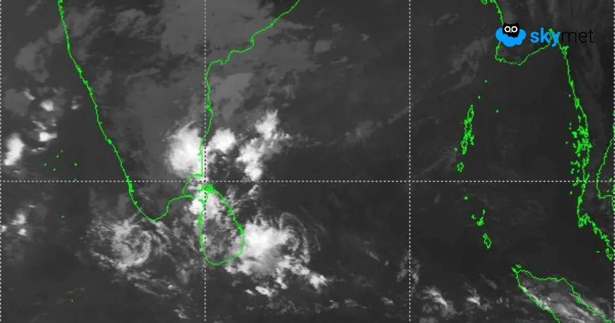
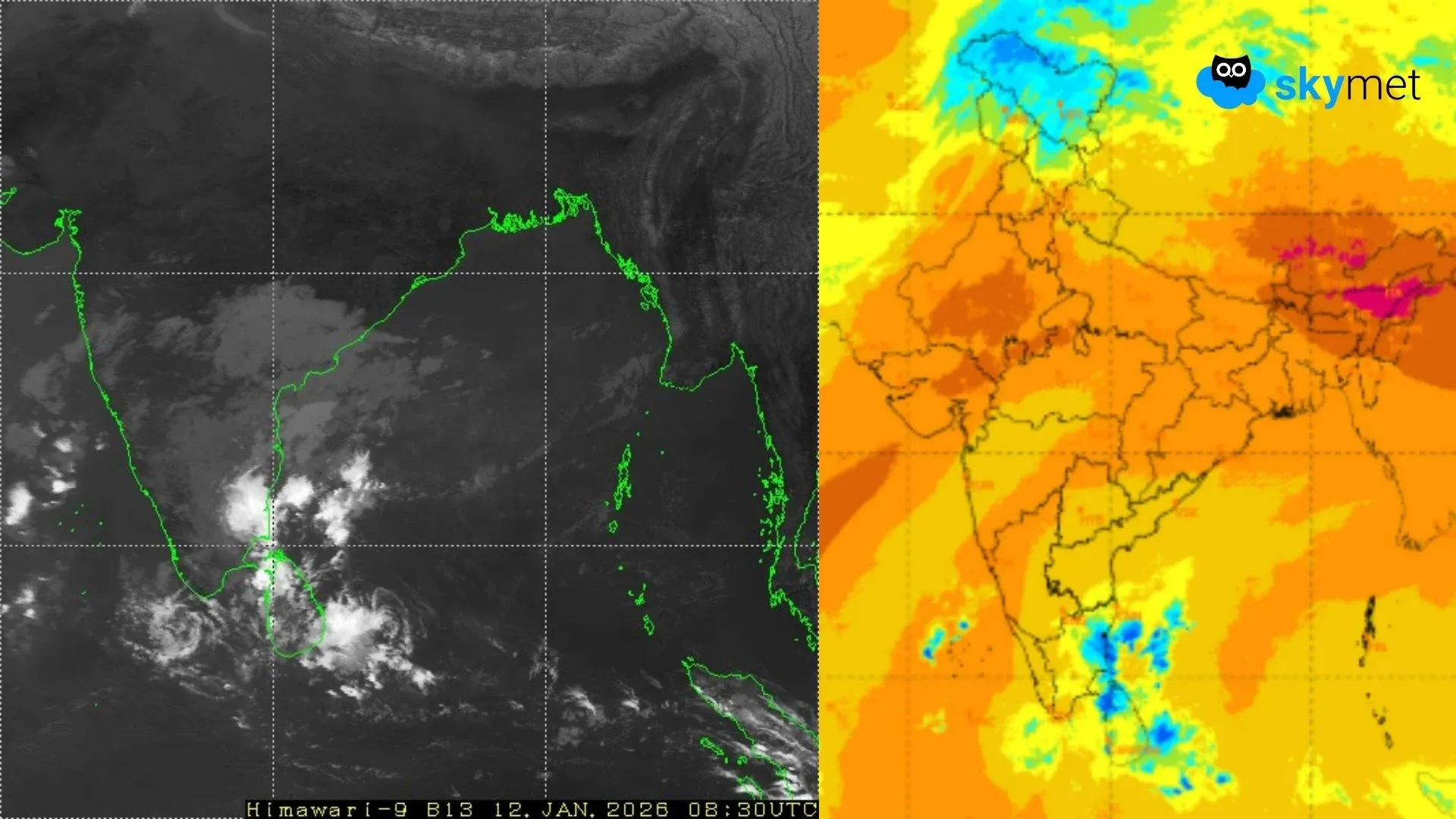
There is a feeble western disturbance, as an upper-air trough, moving across Jammu & Kashmir. The system will clear the region today, and the night temperatures may sustain or fall further, albeit marginally, over the entire plains of North India. The next three days appear to be crucial for the complete region. Severe cold is likely to continue, accompanied by very dense fog at some places. The approaching weekend may bring some relief. An active western disturbance over the mountains and its induced cyclonic circulation in the plains may bring a spree of winter showers. The conditions need to be monitored, and the forecast will be reviewed after 48 hours. In anticipation, the upcoming week may start on a wet note, between 18th and 21st Jan 2026.