KEY TAKEAWAYS
- A cyclonic circulation near the Strait of Malacca is expected to trigger a low-pressure area over the Southeast Bay of Bengal within 24 hours.
- The system may intensify significantly and track toward the south-central BoB by 25 November, with an uncertain path thereafter.
- Historical November storms formed in this region often threaten Tamil Nadu, Andhra Pradesh, Odisha, West Bengal, or Bangladesh depending on steering currents.
- Given favourable oceanic and atmospheric conditions, the upcoming system may strengthen considerably, raising alert levels along the entire East Coast.
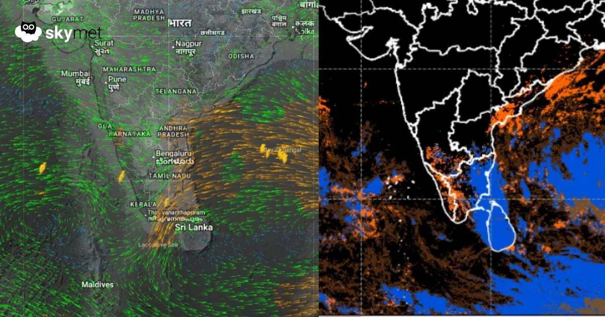
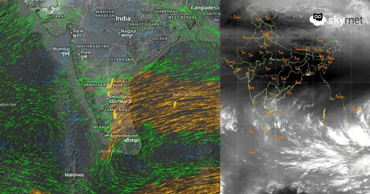
A cyclonic circulation has emerged over the Strait of Malacca and adjoining South Andaman Sea, extending up to mid-tropospheric levels. It is likely to shift westward, and under its influence, a low-pressure area is expected to form over the Southeast Bay of Bengal (BoB) and the neighbouring Andaman Sea in the next 24 hours. The weather system looks composed and well poised for turning into a major system at the start of next week. Sea disturbances forming around this time are favourites for storm development, at times with very severe intensity.
The source region of the majority of storms over the BoB in November lies between 8°N and 13°N. Those which move in a west-northwesterly direction strike the North Tamil Nadu and adjoining South Andhra coast and emerge into the Arabian Sea, where they re-intensify. Tropical Storm Fengal in November last year followed this track and struck near Karaikal. Bay storms forming at more northerly latitudes move northwest and later recurve toward the northeast. Cyclone Midhili took a similar course in November 2023 and struck central parts of Bangladesh.
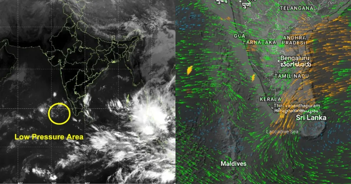
The likely low-pressure area is forming in the lower parts of the Southeast Bay of Bengal but is gaining latitude and is expected to move over the south-central BoB by 25th Nov 2025. Thereafter, the track of cyclones becomes rather ambiguous, with equal chances of landfalling along the East Coast or skirting the shore toward West Bengal/Bangladesh. It all depends on the steering current at around 25,000 feet (above mean sea level) and above. The position of the subtropical ridge plays a decisive role in the timeline, track, and any recurvature. More clarity emerges when the system shapes into a depression, which is likely around 24th November 2025.
In anticipation of a likely tropical cyclone—the second of this season over the BoB—the threat perception rises for the entire East Coast from Tamil Nadu to West Bengal. Since the storm is likely to have a long sea travel and also move through favourable environmental conditions, both over ocean surface and atmosphere, it stands a higher chance of gaining severity. The entire coastline needs to be secured and kept in a state of utmost preparedness for quick action at short notice.