Monsoon Stream To Remain Slow And Sluggish: Rain Deficit Grows Bigger

Key Takeaways:
- Southwest monsoon remains stalled over Harnai and Muzaffarpur since early June.
- Around 66% of the country is facing rainfall deficiency or large rainfall deficit.
- Central India is witnessing severe rainfall shortage between 70% and 80%.
- June rainfall deficit may soon cross 40% and approach 50% by month-end.
- Forecast Validity: 5 to 7 days
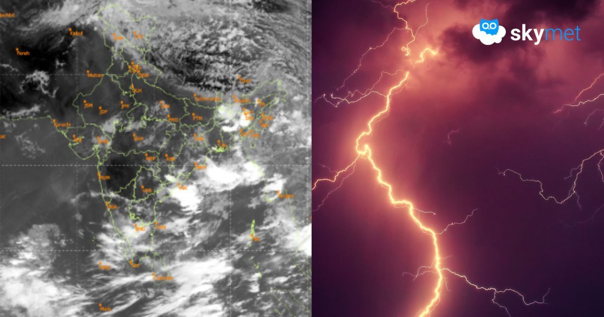
Southwest monsoon has not advanced further on either end of the NLM (Northern Limit of Monsoon). The western end remains stationary at Harnai since 08th June, while the eastern margin remains stuck at Muzaffarpur (Bihar). Rainfall deficit has been growing rapidly, and many pockets across the country are nearly parched.
About 66% of the country’s area is either rain deficient or facing large rainfall deficit. Central parts of the country are the worst hit, with rainfall deficiency ranging between 70% and 80%. All meteorological sub-divisions of the central region are facing a severe crunch of monsoon rainfall.
Western disturbances and associated upper-air systems have kept the northwestern parts of the country wet and humid. Regular spells of pre-monsoon weather activity have managed to maintain near-normal rainfall over the entire region, except East Uttar Pradesh. However, this region is also likely to hit a roadblock, and the monsoon may press a pause button during the last week of June.
The rainfall deficit during June is likely to cross 40% shortly and could approach even 50% during the closing days of the month. This may create anxious moments for the agriculture sector and the farming community.
The opening phase of monsoon onset can be pushed by cross-equatorial flow, as witnessed this season. However, monsoon advancement under the influence of this factor is limited to the extreme southern parts of the country and the Bay Islands. For further advancement of monsoon, triggers are required from the Indian seas — both the Bay of Bengal and the Arabian Sea.
The Bay of Bengal normally takes the lead role in carrying the monsoon forward. However, no effective weather system has formed over these water bodies so far.
There are feeble indications of a sea-borne circulation entering the Bay of Bengal from the Myanmar side anytime on or after 25th June. However, this remains a tentative scenario at present and does not indicate any major development yet. Any further changes need to be monitored closely, and an appropriate assessment can be made at the beginning of next week.
Trending: