Very Heavy Rainfall Over Mumbai: Localized Flooding Likely

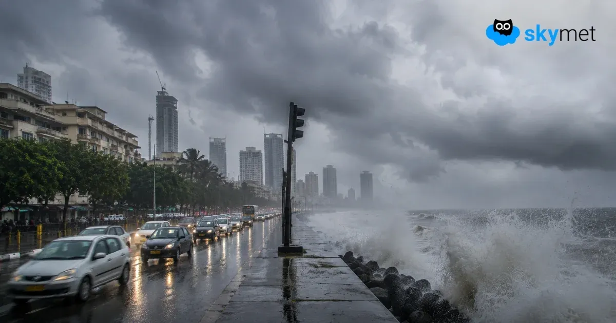
Representational Image: AI-Skymet
Key Takeaways:
- Mumbai is likely to receive heavy to very heavy rainfall tomorrow after moderate showers today.
- Enhanced westerly winds and an active offshore trough will significantly increase rainfall intensity.
- High tide coinciding with heavy rain may lead to flooding in low-lying areas and disrupt transport.
- Weather conditions are expected to improve over the weekend after the brief spell of intense rain.
- Forecast Validity: Next 3 to 5 days.
Mumbai is likely to receive heavy to very heavy rainfall tomorrow. Scattered rainfall is expected today as well, but the intensity and spatial coverage will increase towards late night and the early morning hours. The hazardous weather activity is not expected to persist for long, and the weekend is likely to witness improving weather conditions. As the most intense rainfall is expected during the last day of the month, any rain recorded after 8:30 a.m. will be accounted for in the month of August.
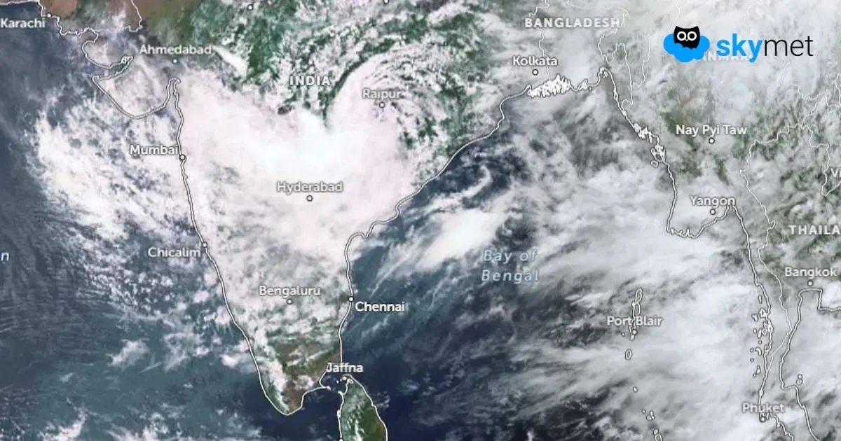
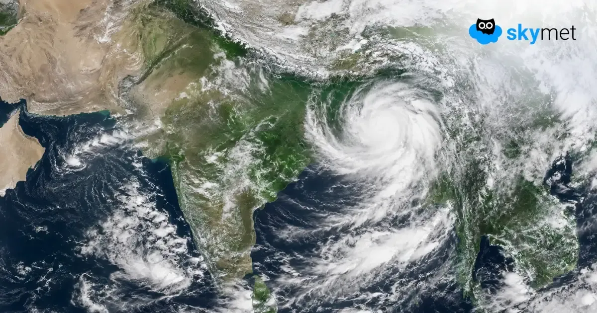
Mumbai typically receives heavy rainfall when multiple weather factors come together, as is expected tomorrow. A monsoon low or depression tracking westward and reaching the trijunction of Madhya Pradesh, Gujarat and Rajasthan generally favours heavy rainfall over the city. Such a movement strengthens the westerly winds across the Konkan Coast from the Arabian Sea and also revives the otherwise weak offshore trough. These factors, working in tandem, significantly enhance rainfall activity along the Konkan Coast in general and over Mumbai in particular.
Mumbai will continue to witness moderate showers today. Rainfall activity may commence anytime during the late afternoon or evening and continue through the night. The intensity is expected to increase sharply during the early hours tomorrow and may continue uninterrupted for some time.
The astronomical high tide is expected at 1:16 p.m. tomorrow, followed by another high tide later in the night. Heavy rainfall coinciding with the tidal surge may push seawater beyond the coastline, leading to waterlogging and inundation of low-lying areas. Although the event falls close to the weekend, transportation services and commuter movement may still be adversely affected. Air operations could also face temporary disruptions. Residents across Mumbai and its suburbs are advised to exercise utmost caution over the next 48 hours.