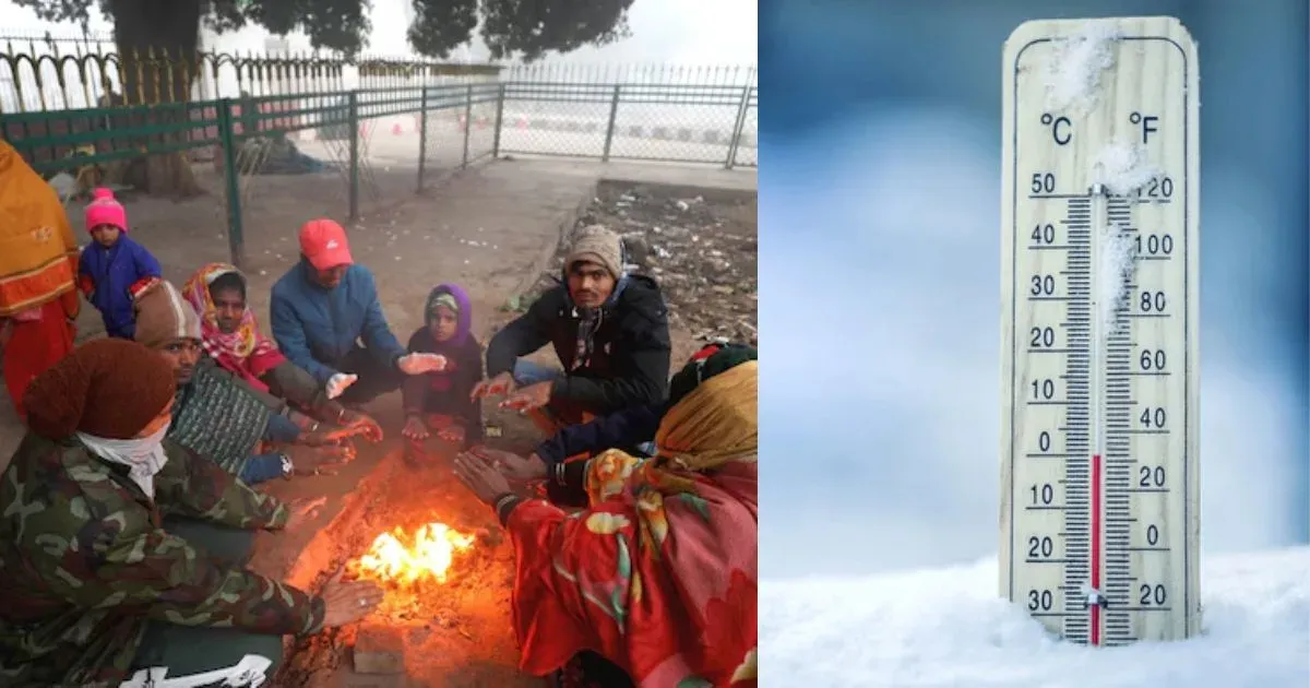
Cold Wave Conditions Over Northern Plains: Dry Weather Continues


Image: AI-Skymet
Key Takeaways
- Cold wave conditions persist over Punjab, Haryana, Rajasthan and adjoining areas as minimums dip to 4°C or below.
- Western disturbances are causing scattered clouding, with another system arriving around 5–6 December.
- Strengthening low-level winds and radiational cooling will keep temperatures suppressed and fog formation likely at select locations.
- A southward-shifted anticyclone and active nocturnal jet will intensify the chill, with chances of frost in pockets.
Cold wave conditions have prevailed over parts of Punjab, Haryana, Rajasthan and the neighbourhood for the third consecutive day. The minimum temperatures have plunged to 4°C or less at some places. Also, the minimum temperatures have stayed below normal by 4°–5°C at many locations, resulting in cold wave conditions. There are scattered clouds due to the passage of a western disturbance over these parts. The likely arrival of another system will usher in another layer of medium and high clouds between 05th and 06th Dec over these regions. However, the low-level winds are picking up, more so at night. The combined influence will lead to continuation of cold wave conditions in pockets and a marginal drop in minimum temperatures. Radiational cooling during the night will trigger shallow to moderate fog at some places like Amritsar, Jalandhar, Hoshiarpur, Tarn Taran, Ludhiana, Ambala, Sirsa and Yamunanagar.
Dry cold has been prevailing over the plains of North India for nearly two weeks. Minimum temperatures have been running below normal and breaching cold wave marks at some places. The locations plunging to 4°C or less include Bathinda (3.8°C), Hisar (4°C) and Sikar (3.8°C). All these stations qualify under the cold wave criterion. Other locations where early morning temperatures hovered between 5°–6°C include Ludhiana, Chandigarh, Karnal, Churu, Alwar and Pilani.
Due to the passage of the western disturbance, the seasonal anticyclone over West and Central Rajasthan has been pushed southward. Also, the nocturnal jet is becoming active over the plains of northern parts. The chill factor is expected to increase over the next 48 hours. Weather conditions are likely to remain dry over the entire northern plains. A sharp drop in temperatures may lead to an inversion layer, which in turn may trigger frost conditions in some areas.