Fresh Snowfall Likely Over Northern Mountains: Rainfall Along Foothills

Key Takeaways:
- Snowfall this winter has been below normal across North Indian mountain states.
- Late January snowfall briefly covered the deficit and caused major disruptions.
- A fresh Western Disturbance (9–11 Feb) will bring moderate scattered snowfall.
- Weather improvement is expected after 15 February across the Western Himalayas.
Mountain states of North India have not witnessed a normal frequency of snowfall this season. The month of December had completely barren peaks, and the first light to moderate spell was observed on New Year’s Day. Thereafter, a lull was noticed again for nearly three weeks.
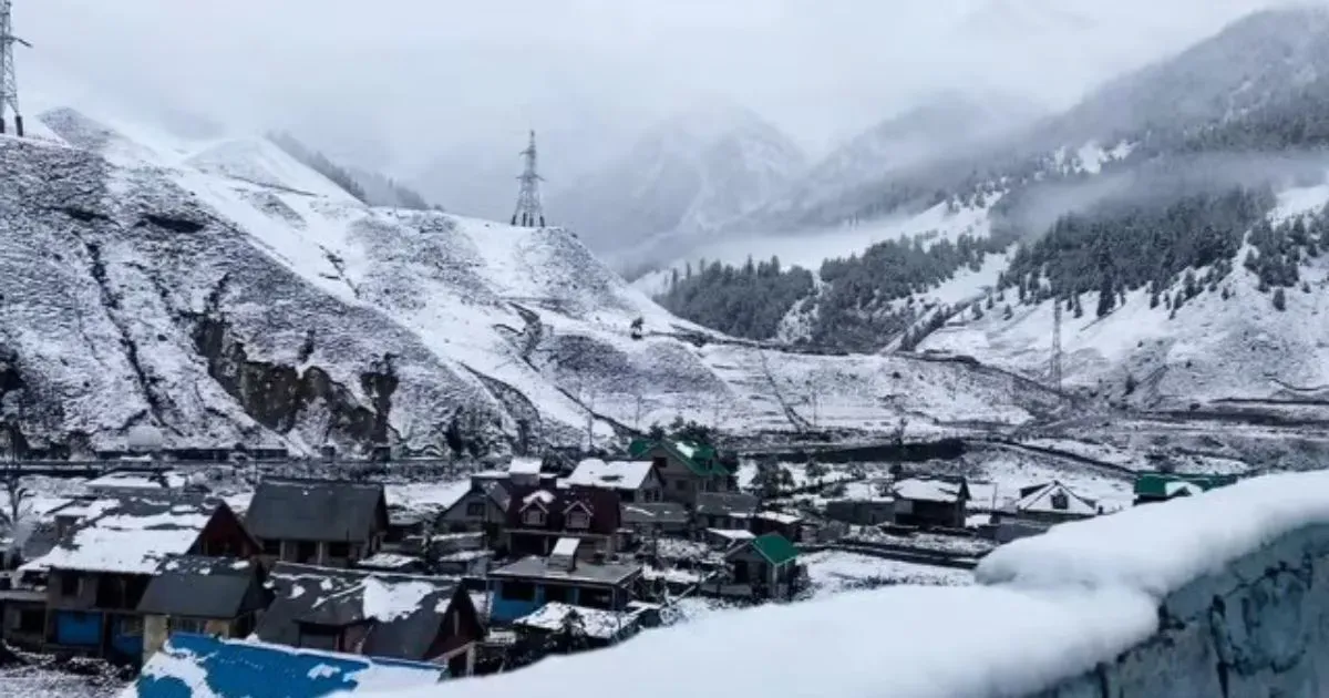
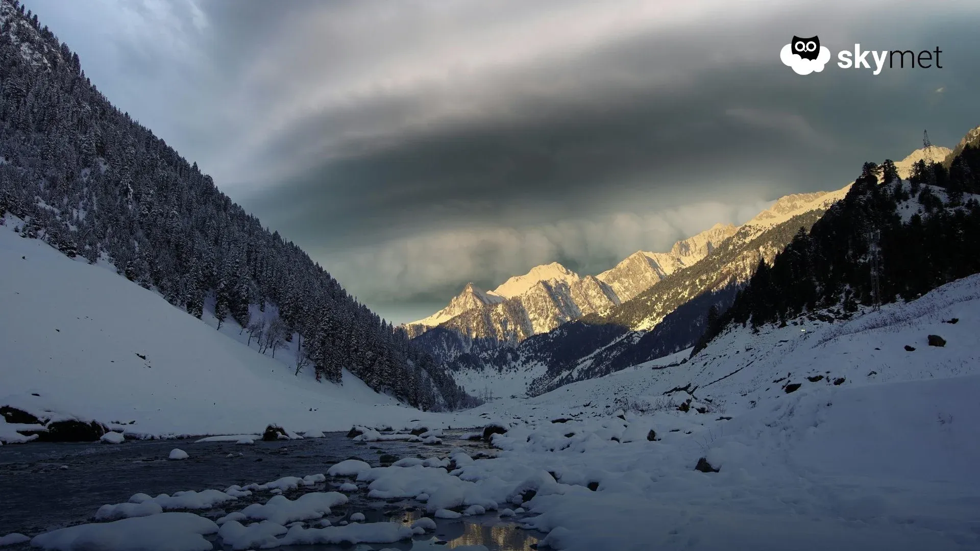
Fresh heavy snowfall hit Kashmir and Himachal Pradesh starting around 22nd January 2026, breaking a long dry spell, with major accumulation in Gulmarg and Shimla. This triggered significant disruption, including road closures, choked highways, and blocked runways, impacting tourism.
Between late January and early February, high-altitude areas of Jammu & Kashmir received heavy snow, including Gulmarg, Sonamarg, and Pahalgam. Srinagar and South Kashmir also recorded moderate snowfall. Himachal Pradesh received fairly widespread snowfall during this period. Shimla recorded the heaviest snowfall in the last 30 years, while Kufri, Manali, Kinnaur, and Lahaul-Spiti were lashed with heavy snowfall. The Chardham region of Uttarakhand also received heavy snowfall during this period.
There have been frequent passages of Western Disturbances across the northern mountains. However, the weather systems have mostly been mild, and at best moderate for brief durations. The large deficiency, which was covered during the last week of January, has started showing up again. Jammu & Kashmir and Ladakh have a shortfall of 24% between 01st January and 05th February 2026.
A weak Western Disturbance, as an upper-air system, is moving across Jammu & Kashmir and Himachal Pradesh and will clear the region by late tonight. Another Western Disturbance is likely to approach the Western Himalayas on 09th February 2026.
This system will cause scattered snowfall, moderate in nature, over Jammu & Kashmir and Himachal Pradesh between 09th and 11th February 2026, with peak activity on 10th February. The state of Uttarakhand will also receive snowfall in elevated areas above 12,000 feet.
The remnant effect of the system may continue on 12th February, and weather conditions will improve from 13th February onwards. These conditions may get interrupted again on 14th February. A broad clearance is expected across the region from 15th February and thereafter.