Heavy Snowfall In Kashmir: All Flights To Srinagar Cancelled; Conditions Improve Tomorrow

Key Takeaways
- Heavy snowfall has disrupted life across Jammu & Kashmir, including flight and road operations.
- Fresh snow has covered Gulmarg and the Vaishno Devi shrine for the first time this season.
- Himachal Pradesh and Uttarakhand have seen rain and snowfall, ending a prolonged dry spell.
- Another western disturbance may trigger fresh weather activity from 27–28 January.
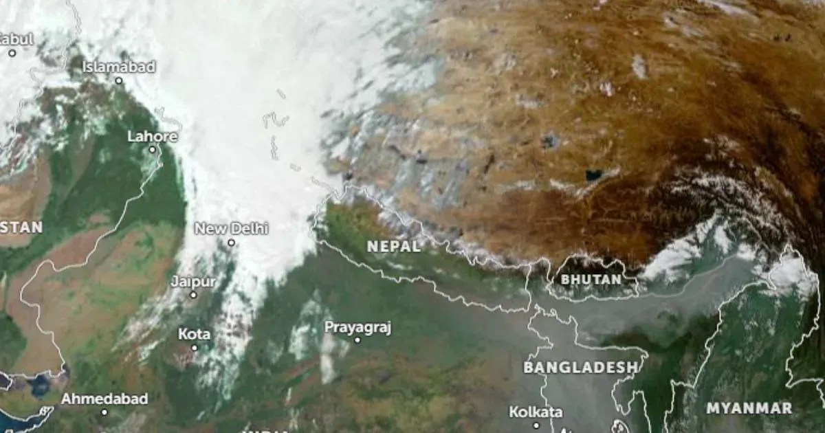
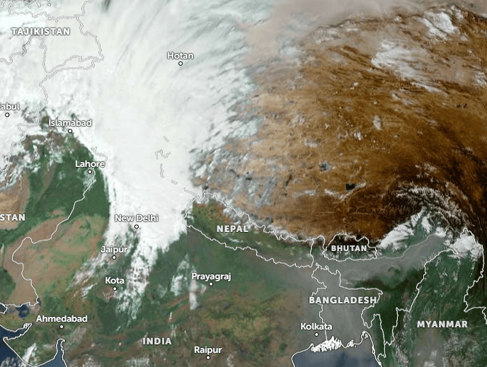
As predicted, Jammu & Kashmir has been lashed with heavy snowfall across all the peaks and the Kashmir Valley. Srinagar, Banihal, and Qazigund received the heaviest snowfall of the season so far. All flights to and from Srinagar Airport have been cancelled for the day. Snow clearance operations are underway to enable resumption at the earliest. The ski resort of Gulmarg and several other areas, particularly the higher reaches of Kupwara, Baramulla, and Shopian, also received fresh snowfall.
The Jammu–Srinagar National Highway was shut near the Navyug Tunnel, while the Mughal and Sinthan roads were blocked at multiple locations. Traffic has been halted at safer locations along NH-44 as a precaution against slippery road conditions. Fresh snow, the first of the season, has also blanketed the Vaishno Devi temple shrine.
There was fresh snowfall in parts of Himachal Pradesh today, including Shimla district, Manali, and the higher reaches of Chamba, Kullu, Lahaul-Spiti, Kangra, and Kinnaur. This has ended the prolonged dry spell, bringing cheer to tourists and relief to farmers. Uttarakhand is also set to receive snowfall today in the mid and higher reaches above 8,000 feet. Foothill areas such as Dehradun, Roorkee, Rishikesh, Pantnagar, along with hill resorts Nainital and Mussoorie, have received heavy rain and thundershowers.
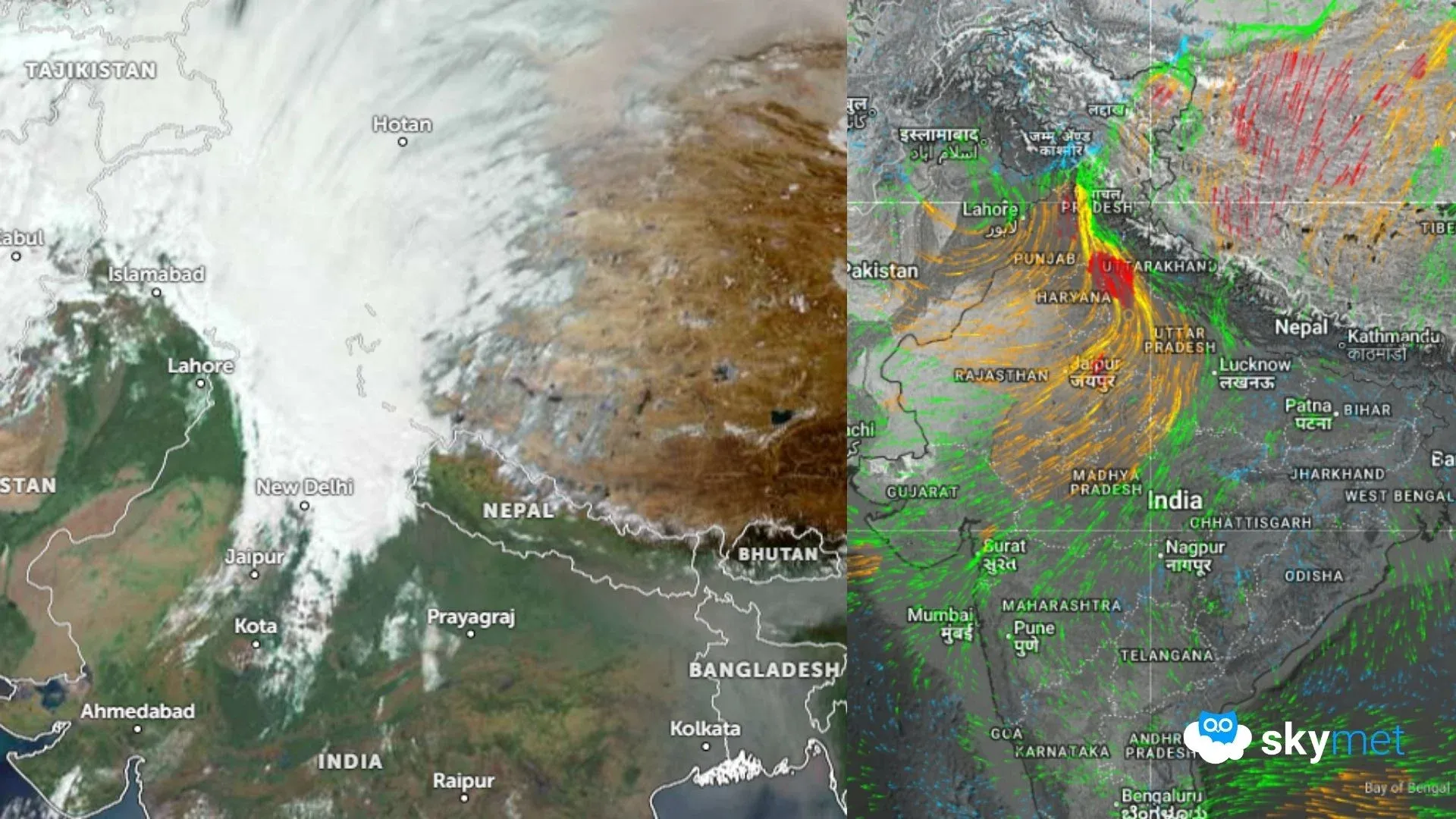
An active western disturbance over the mountains and its induced circulation over the plains, acting in tandem, have triggered intense weather activity across the region. The adverse conditions will gradually shift from west to east, affecting parts of West Uttar Pradesh, especially the foothills, and reaching the peripheral areas of the central region.
Weather conditions are likely to improve over both the plains and the mountains over the next 24 hours. While rainfall will cease over the plains, light rain and snowfall will continue over the hills. Another western disturbance is expected to arrive on 26th January, reviving weather activity across both plains and hills between 27th and 28th January 2026.