Weather update and forecast for January 30 across India


KEY TAKEAWAYS
- A fresh western disturbance will impact Northwest India from the night of January 30.
- Rain and snowfall activity will intensify over the Western Himalayas between January 31 and February 2.
- Light to moderate rain is likely over Delhi, Punjab, Haryana, and West Uttar Pradesh.
- Minimum temperatures will drop further before gradually rising across Northwest India.
The weather system over the country:
A western disturbance is currently observed as a cyclonic circulation over Jammu and adjoining areas, extending between 3.1 km and 4.5 km above mean sea level. This system is accompanied by a trough aloft in the middle and upper tropospheric westerly winds, with its axis positioned at around 5.8 km above mean sea level, roughly along longitude 76°E and north of latitude 25°N.
Another trough extends from Southeast Uttar Pradesh to North Interior Karnataka at about 1.5 km above mean sea level. Additionally, a cyclonic circulation is present over Northeast Bihar and adjoining areas.
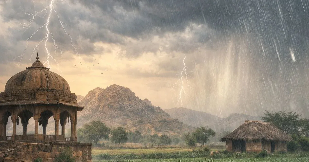
A fresh western disturbance is likely to affect Northwest India from the night of January 30, which may lead to an increase in weather activity across the region in the subsequent days.
Weather Activity in the last 24 hours:
During the last 24 hours, light, scattered rainfall was recorded over East Uttar Pradesh and isolated pockets of Bihar. Light to moderate rain occurred over the eastern parts of Uttarakhand.
Minimum temperatures dropped by 3–4°C across Northwest, Central, and East India. Very dense fog conditions prevailed at a few places over West Uttar Pradesh and Haryana, while dense fog was observed at isolated locations over Punjab and West Madhya Pradesh.Light, scattered rainfall was recorded over East Uttar Pradesh and isolated pockets of Bihar. Light to moderate rain occurred over the eastern parts of Uttarakhand.
Minimum temperatures dropped by 3–4°C across Northwest, Central, and East India. Very dense fog conditions prevailed at a few places over West Uttar Pradesh and Haryana, while dense fog was observed at isolated locations over Punjab and West Madhya Pradesh.
Forecast for the next 24 hours:
During the next 24 hours, no significant rain activity is expected over most parts of the country on January 29.
Isolated to scattered rainfall activity may commence over the Western Himalayas from the night of January 30. Scattered light to moderate rain is likely over the Andaman and Nicobar Islands.
Rain and snowfall activity over the Western Himalayas is expected to increase from January 31 and may continue until February 2.
Isolated light rain may occur over East Rajasthan, Southwest Uttar Pradesh, and North Madhya Pradesh on February 1.
Light to moderate rain accompanied by thunderstorms is likely over Punjab, Haryana, Delhi, West Uttar Pradesh, and Northeast Rajasthan between January 31 and February 1.
Light to moderate rain may occur over East Uttar Pradesh on February 2 and 3.
Minimum temperatures are likely to drop further over Northwest India during the next 24 hours, followed by a gradual rise thereafter.
Must Read: Evolving El Nino To Keep Monsoon At Risk
Do not miss:
Any information picked from here must be attributed to Skymet!