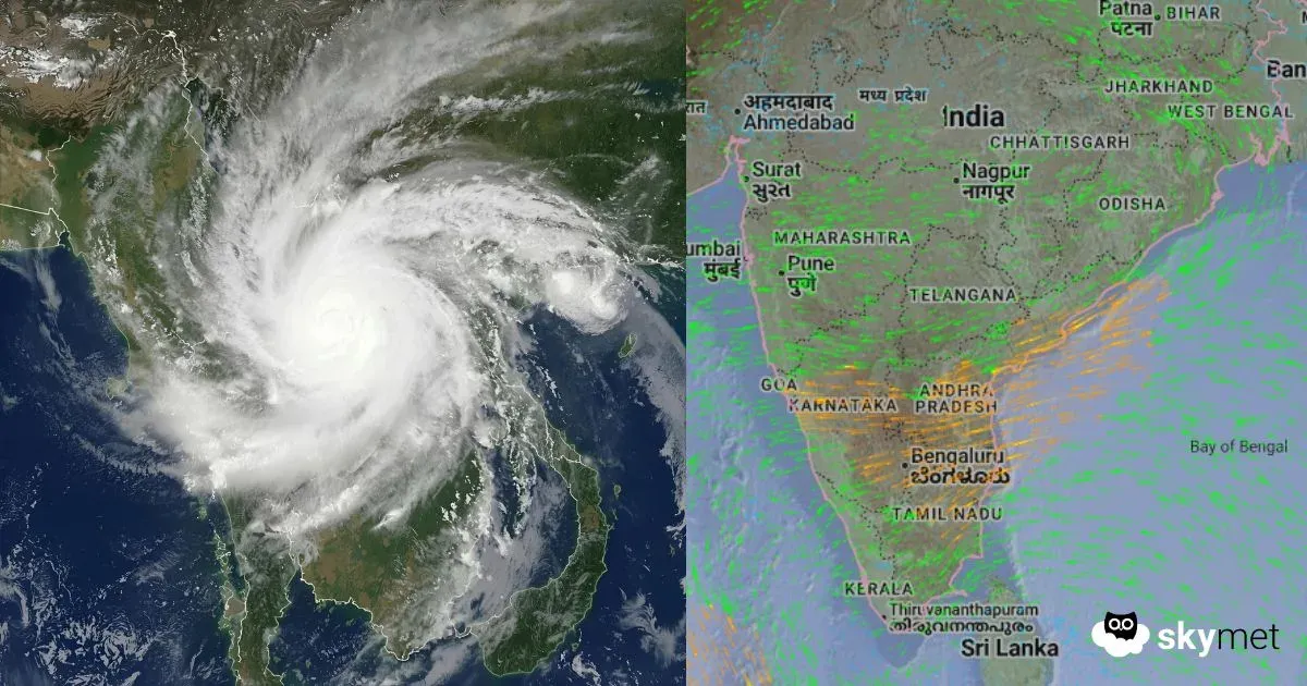
A cyclonic circulation is currently persisting over the south coast of Tamil Nadu and the adjoining Comorin area, extending up to 1.5 km above mean sea level. Another circulation lies over the southeast Arabian Sea and the adjoining Equatorial Indian Ocean between 3.1 and 5.8 km above mean sea level.
Under the combined influence of these systems, a low-pressure area is likely to form over the southeast Arabian Sea and the Lakshadweep region, off the Kerala–Karnataka coast, around October 19. The system is expected to move gradually in a northwestward direction, enhancing moisture and rainfall along India’s southwest coast.
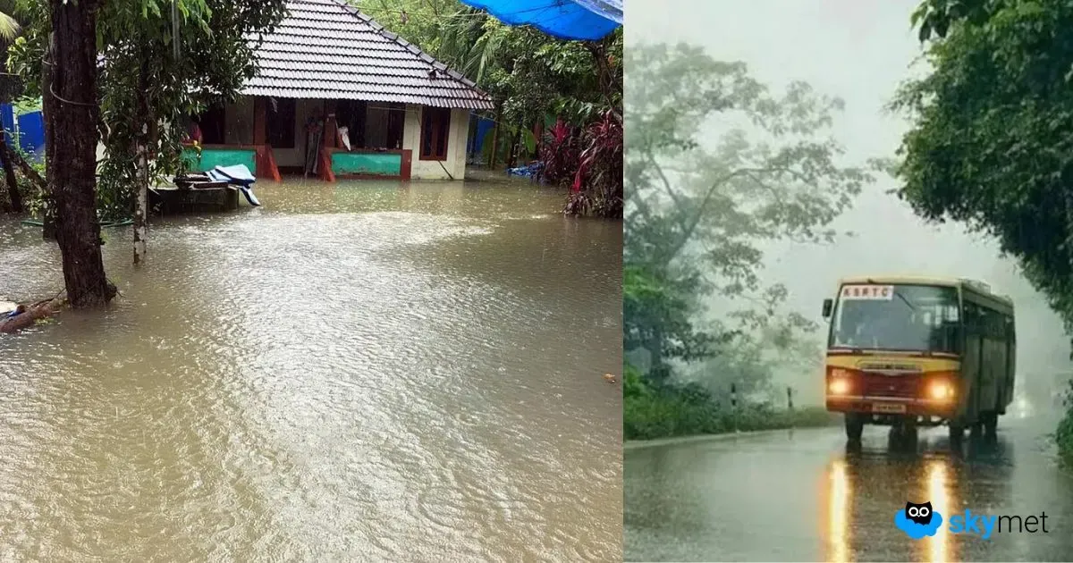
In the past 24 hours, widespread rainfall has been observed across Tamil Nadu and Kerala. Notable figures include Thanjavur 43 mm, Atiramapattinam 30 mm, Chennai 29 mm, and Udhagamandalam 50 mm. In Kerala, Thiruvananthapuram recorded 31 mm, Kottayam 46 mm, while Kozhikode and Kannur received about 10 mm each.
As the low-pressure system strengthens, moderate to heavy rainfall is expected across southern Tamil Nadu and Kerala through the coming week. While widespread flooding is not anticipated, rough sea conditions and gusty winds are likely along the coasts of Kerala, south Tamil Nadu, and the Lakshadweep area.