Northeast India To Have Increased Pre-Monsoon Activity Next Three Days

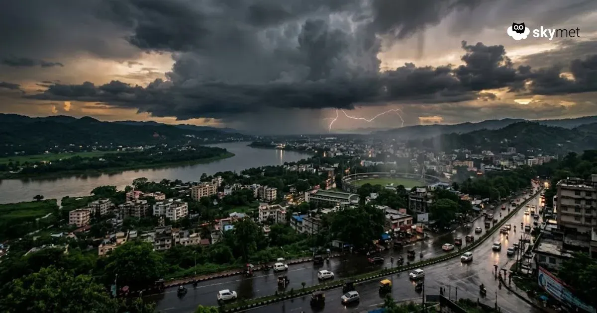
Image: AI-Skymet
Key Takeaways:
- Northeast India has entered early pre-monsoon activity phase
- Thunderstorms in Assam Valley mostly during afternoon to evening hours
- Brief relief expected on April 3 and 4 before activity resumes
- Stronger and widespread storms likely from April 5 onward
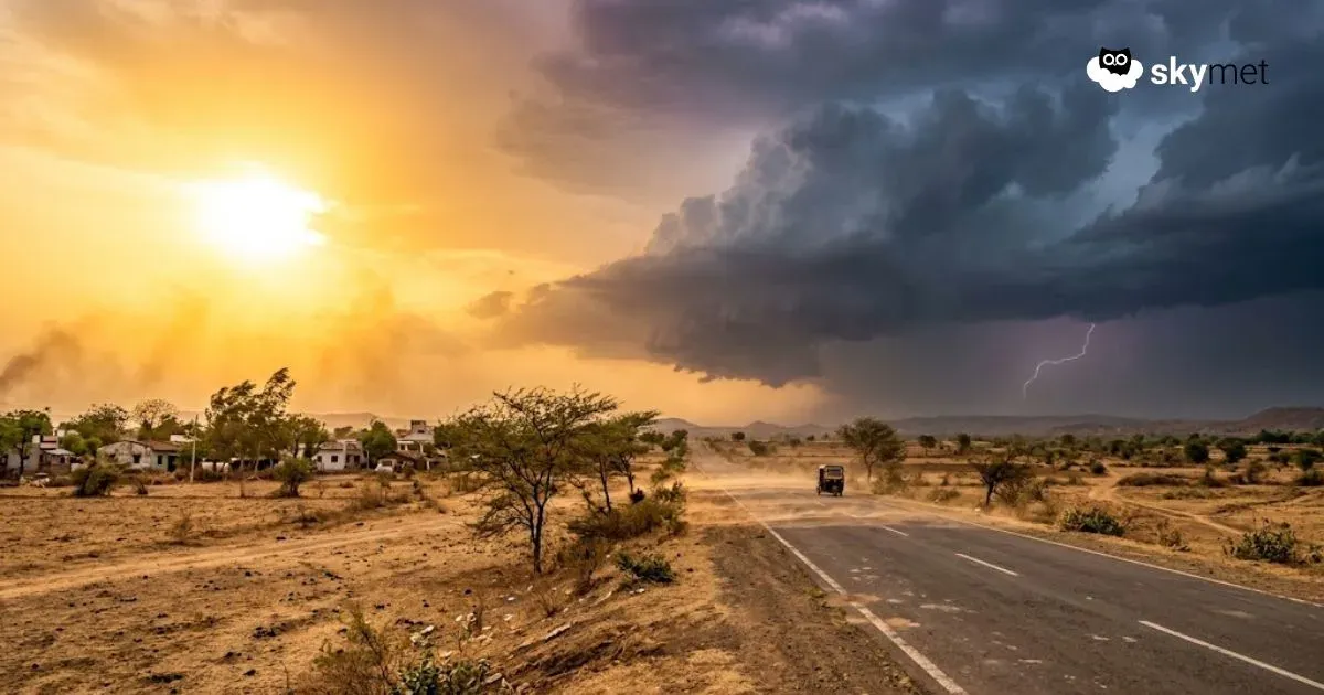
Northeast region of the country has witnessed early pre-monsoon activity this season. Assam and Sub-Himalayan West Bengal have observed typical seasonal weather for the last few days. Unlike in the monsoon season, when the weather activity occurs at night and early morning, pre-monsoon thunderstorms strike the Assam Valley early in the afternoon and continue till early night. Mostly, the broad clearance occurs towards late night and early morning.
The northeast region is getting impacted by multiple factors causing inclement weather activity. There is a cyclonic circulation over eastern parts of Assam and the adjoining region. Another circulation is marked over Northeast Bangladesh and neighbourhood. An anticyclone over Head Bay is throwing moist winds over the region. Persistent weather activity has lowered the day temperatures to the low and mid-20s. Similar conditions are likely over the region for the next four days, between 30th March–02nd April 2026. Due to the southward shift of the anticyclone, the region will get reprieve for two days on 03rd and 04th April. However, the pre-monsoon activity will resume from 05th April onward.
Scale and spread of weather activity will be large, starting 05th April. It will go on past mid-week next. Two important events will be at risk of getting affected. The IPL cricket match today at Guwahati will run the fear of getting disrupted. More importantly, the state polls voting slated for 09th April 2026 will also have the threat of rain and thundershowers. Since the model accuracy during pre-monsoon degrades faster than at other times, the forecast will be reviewed at an appropriate time closer to the D-Day. Exercise caution.