Rainy Spell To Continue Over Northeast India: Heavy Rainfall Over Arunachal, Assam & Meghalaya


Representational Image: AI-Skymet
Key Takeaways:
- Rainfall across India has recovered and exceeded monthly normal levels.
- Northeast and East India are witnessing large excess rainfall, while central India remains deficient.
- Cyclonic circulation and moisture incursion will sustain pre-monsoon activity.
- Intense rainfall and thunderstorms expected between March 28–31 in Northeast India.
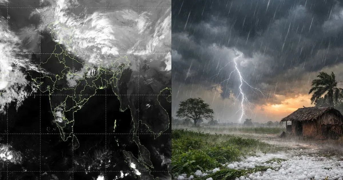
Weather activity has substantially increased over many parts of the country during the last about ten days. Scanty rainfall observed earlier over most parts of the country has made a decent recovery. The monthly rainfall, as of date, has exceeded the normal. Despite good rains, the distribution still remains skewed, with large excess rainfall in some pockets like Northeast and East India, and deficient over central parts like Maharashtra and Madhya Pradesh. Northeast India has exclusively stood out, with persistent heavy rains over the entire region, except Arunachal Pradesh.
Conditions remain favourable for the continuation of good rains over most parts during the remaining days of March, with a small pause for a day or two. Between 01st and 22nd March, Sikkim and Sub-Himalayan West Bengal were the rainiest, with a large excess of 361%, closely followed by Assam and Meghalaya, having a surplus of 200% rainfall. The least rains were witnessed in Arunachal Pradesh, but the state still has 12% rainfall over and above normal.
There is a cyclonic circulation marked over the eastern parts of Assam and the adjoining region in the lower levels. This is supported by the incursion of moisture associated with an anticyclone over the Bay of Bengal. The remnants of the Western Disturbances travelling across the northern parts of the country will reach the eastern region with a lag of 2–3 days. All these factors pooled together will keep the pre-monsoon activity going during the month of March. A short breather in between is likely on 25th and 26th March, when the spread and intensity will reduce substantially.
For the last four days of this month, between 28th and 31st March, intense weather activity is expected over Arunachal Pradesh, Lower Assam, and Meghalaya. The seasonal surplus is likely to rise further. The inclement weather conditions will be accompanied by strong thunderstorms and lightning, speedy winds, and heavy downpours. Exercise caution for landslides, mudslides, road blockages, and lightning strikes.