Daily Weather Update for India, March 31: Forecast and Regional Conditions

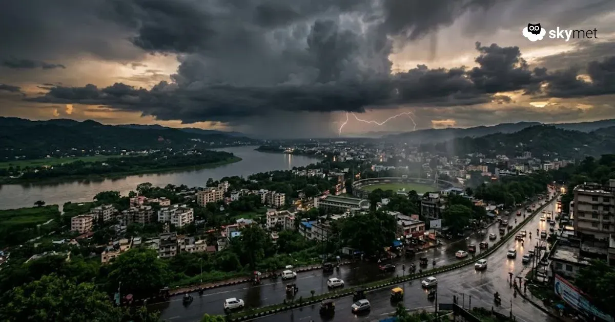
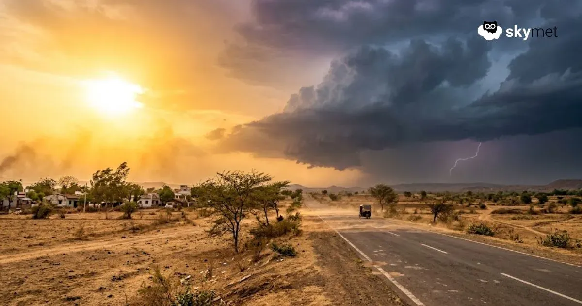
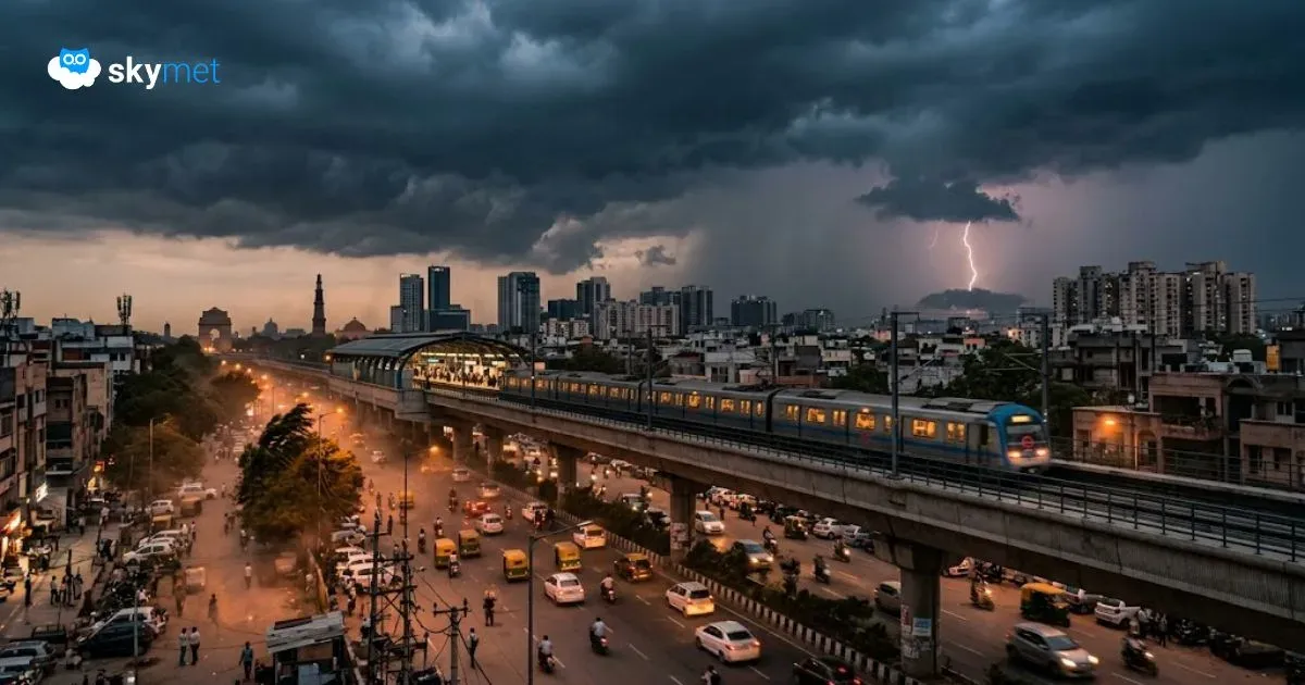
Representational Image: AI-Skymet
Key Takeaways:
- Western Disturbance to trigger rain and snowfall over the Himalayas for up to a week
- Rain and thunderstorms expected over North India until April 1
- Pre-monsoon activity to expand across Central and Eastern India
- Southern and northeastern regions to continue seeing scattered showers
Weather systems over the country
A Western Disturbance, as a cyclonic circulation, is seen over North Iran and the adjoining Caspian Sea between 3.1 and 9.4 km above mean sea level.
An induced cyclonic circulation is over northwest Rajasthan and adjoining areas, extending up to 1.5 km above mean sea level.
A trough extends from Bihar to Gangetic West Bengal across Jharkhand.
A cyclonic circulation is over north Madhya Pradesh and adjoining Uttar Pradesh.
A cyclonic circulation is over Assam.
A cyclonic circulation is over south interior Karnataka at 5.8 km above mean sea level.
A fresh Western Disturbance is likely to affect northwest India from April 2.
Weather activity during the last 24 hours
During the last 24 hours, light to moderate rain, with one or two heavy spells, occurred over Kerala.
Light to moderate rain and thunderstorms occurred over south interior Karnataka, interior Tamil Nadu, West Bengal, and northeast India.
Light to moderate rain and snowfall occurred over Himachal Pradesh.
Light rain occurred over Jammu & Kashmir, Uttarakhand, Ladakh, north Punjab, north Haryana, Delhi, and the Andaman and Nicobar Islands.
Light rain and a dust storm occurred over west Rajasthan.
Weather activity during the next 24 hours:
During the next 24 hours, light to moderate rain and snowfall may occur over the Western Himalayas during the next 2 to 3 days.
Isolated heavy rain and snowfall are possible over Jammu & Kashmir on March 30.
In fact, rain and snowfall may continue over the Western Himalayas for at least the next 7 to 8 days, with short breaks in between.
Light to moderate rain and thunderstorms may occur over Punjab, Haryana, Delhi, and Rajasthan on March 30.
Light to moderate rain and thunderstorms may continue over parts of Punjab, Haryana, and Delhi until April 1.
Light to moderate rain and thunderstorms may occur over west Uttar Pradesh on March 30 and 31, and over east Uttar Pradesh on March 31.
Scattered rain and thunderstorms may occur over northeast India for the next few days.
Scattered rain and thunderstorms may occur over parts of Odisha and Chhattisgarh between March 31 and April 2.
Scattered rain and thunderstorms may occur over parts of Madhya Pradesh during the next few days.
Isolated rain or thunderstorms may occur over Gujarat on March 30.
Isolated to scattered rain and thunderstorms may occur over parts of Vidarbha, Madhya Maharashtra, Marathwada, Telangana, and Andhra Pradesh between March 31 and April 3.
Scattered rain and thunderstorms may occur over Kerala and the Andaman and Nicobar Islands.
Skymet Exclusive: Risk of Sub-Par Monsoon and drought Over India Rises in 2026