Skymet Weather Forecast April 08: Heavy Rain, Hailstorm Warning for North India; Snowfall in Hills

Representational Image: AI-Skymet
Key Takeaways:
- Multiple cyclonic circulations are influencing weather across India
- Rain and thunderstorms likely over North, East, and Central regions
- Western Himalayas to see rain and snowfall till April 8
- Fresh Western Disturbance to impact Northwest India from April 11
Weather systems over the country
A Western Disturbance is seen as a cyclonic circulation over Jammu & Kashmir and adjoining areas between 3.1 and 5.8 km above mean sea level.
A cyclonic circulation is over the West-Central Bay of Bengal near the South Andhra Pradesh coast at 1.5 km above mean sea level.
Another cyclonic circulation is over Northeast Rajasthan and adjoining areas.
A cyclonic circulation lies over Northwest Uttar Pradesh and adjoining areas at 3.1 km above mean sea level.
Another cyclonic circulation is over the central parts of East Uttar Pradesh.
A cyclonic circulation is over South Telangana and adjoining areas.
A trough extends from the cyclonic circulation over Odisha to the Gulf of Mannar across the cyclonic circulation over South Telangana, Rayalaseema, and Tamil Nadu at 0.9 km above mean sea level.
A fresh Western Disturbance is likely to affect Northwest India from April 11.
Weather activity during the last 24 hours
During the last 24 hours, light to moderate rain, with one or two heavy spells, occurred over West Rajasthan.
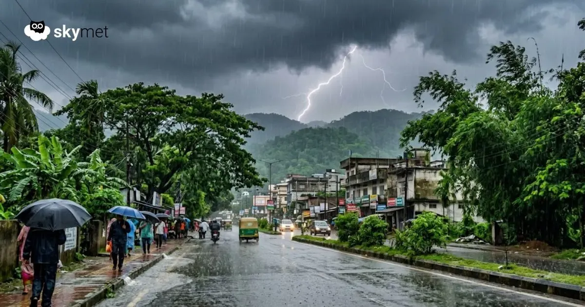
Light to moderate rain occurred over Northeast India, Gangetic West Bengal, Odisha, coastal Tamil Nadu, parts of Andhra Pradesh, and Sikkim.
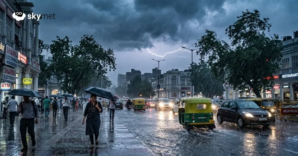
Light rain and thunderstorms occurred over South Tamil Nadu, parts of Chhattisgarh, Jharkhand, Uttar Pradesh, East Rajasthan, Delhi, Haryana, Punjab, and the Western Himalayas.
Weather activity during the next 24 hours:
During the next 24 hours, light to moderate rain and snowfall are possible over Jammu & Kashmir, Himachal Pradesh, and Uttarakhand until April 8.
Scattered rain and thunderstorms, with isolated hailstorms, may occur over Punjab, Haryana, North and East Rajasthan, Delhi, West Uttar Pradesh, and parts of Odisha.
Scattered rain and thunderstorms may occur over North Madhya Pradesh, parts of Jharkhand, West Bengal, Chhattisgarh, Tamil Nadu, and Northeast India.
Light to moderate rain and thunderstorms may occur in isolated pockets of East Uttar Pradesh, Bihar, and Telangana.
Skymet Exclusive: Skymet Weather Forecasts Below Normal Monsoon For India in 2026