Skymet Weather Forecast July 04: Low Pressure Area Over Bay Of Bengal To Trigger Heavy Rain Across Central & Western India


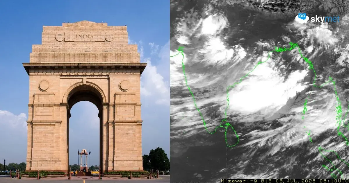
Representational Image: AI-Skymet
Key Takeaways:
- Southwest Monsoon is likely to advance further into northwest India during the next 2 to 3 days.
- A persistent low-pressure area over the Bay of Bengal is intensifying monsoon activity.
- Heavy rainfall is expected over Konkan & Goa, South Gujarat, Madhya Pradesh, and Coastal Karnataka.
- Light to moderate rain will continue across several northern, eastern, and southern states.
- Forecast Validity: Next 24 hours.
The Weather Systems Over The Country
The northern limit of the monsoon continues to pass through Porbandar, Vallabh Vidyanagar, Neemuch, Tonk, Bhiwani, Bathinda, and latitude 32°N and longitude 70°E.
Conditions are favorable for the further advance of the Southwest Monsoon into some more parts of the north Arabian Sea, Gujarat, the remaining parts of Madhya Pradesh, Haryana, and Punjab, and some more parts of Rajasthan during the next 2 to 3 days.
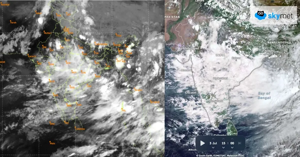
A low-pressure area over Northwest Bengal and adjoining North Odisha-West Bengal coast persists. The associated cyclonic circulation extends up to 7.6 km above mean sea level, tilting southwestwards with height. It is likely to become more marked during the next 2 to 3 days.
The cyclonic circulation is over Central Pakistan and adjoining Northwest Rajasthan, extending up to 1.5 km above mean sea level.
The seasonal trough at mean sea level extends from Northwest Rajasthan to the center of the low-pressure area across the cyclonic circulation over Southwest Uttar Pradesh, North Madhya Pradesh, and North Chhattisgarh, extending up to 1.5 km above mean sea level.
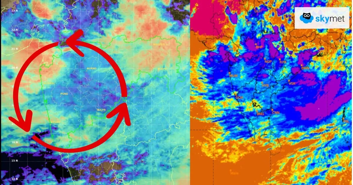
The offshore trough at mean sea level running from South Gujarat to Karnataka persists.
The shear zone is running along latitude 21°N between 3.1 and 7.6 km above mean sea level.
Weather Activities During The Last 24 Hours
During the last 24 hours, heavy rain occurred over Konkan and Goa.
Light to moderate rain with a few heavy spells occurred over South Gujarat, Coastal Karnataka, Kerala, Lakshadweep, Andaman and Nicobar Islands, Odisha, Vidarbha, Chhattisgarh, Jharkhand, Uttar Pradesh, and East Rajasthan.
Light to moderate rain occurred over Northeast India, West Bengal, Odisha, Uttar Pradesh, Coastal Andhra Pradesh, Telangana, South Madhya Maharashtra, Gujarat, Sikkim, Uttarakhand, and Himachal Pradesh.
Light rain occurred over Tamil Nadu, Jammu & Kashmir, Ladakh, and Interior Karnataka.
Forecast
During the next 24 hours, moderate to heavy rain is possible over South Gujarat, Konkan and Goa, Coastal Karnataka, North Kerala, parts of Vidarbha, South Odisha, South Chhattisgarh, and Madhya Pradesh.
Light to moderate rain with a few heavy spells are possible over Northeast India, Sub-Himalayan West Bengal, Sikkim, Southeast Rajasthan, Lakshadweep, Himachal Pradesh, and Uttarakhand.
Light to moderate rain may occur over parts of Bihar, Uttar Pradesh, Punjab, Haryana, Delhi, Interior Karnataka, Andhra Pradesh, parts of Tamil Nadu, Jammu & Kashmir, and Ladakh.
Light rain is possible over Coastal Tamil Nadu.
Trending: