Winter Weakens Over North West India as Temperatures Rise, Including Delhi–NCR

Image: AI-Skymet
Key Takeaways:
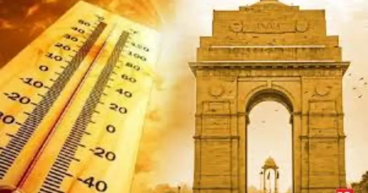
- Delhi recorded 26.7°C on February 9, the highest temperature of the season so far.
- Lack of winter rainfall and weak Western Disturbances accelerated warming.
- Wind shift and reduced speed triggered rapid daytime heating.
- Winter is gradually ending across North West India, with only minor cooling spells ahead.
Winter is steadily retreating across North West India, with temperatures showing a consistent upward trend, particularly over Delhi and the NCR region. On February 9, Delhi recorded a maximum temperature of 26.7°C, the highest so far this winter season.
Although February typically sees daytime temperatures climb into the higher twenties, such warmth is usually confined to the second half of the month. This year, however, the warming trend has arrived earlier than normal, signalling a premature weakening of winter conditions.
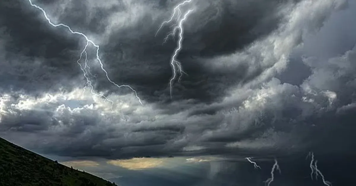
One of the key reasons behind this early temperature rise is the near absence of winter rainfall across North West India, including Delhi–NCR. Limited Western Disturbance activity over the plains has resulted in drier-than-usual winter conditions, naturally allowing faster daytime heating.
Synoptic weather patterns also explain the recent fluctuations. An approaching Western Disturbance, along with an induced cyclonic circulation over the northern plains, altered wind behaviour between February 5 and 7, when strong, cold northwesterly winds from the snow-covered mountains swept across the Indo-Gangetic plains, preventing temperatures from rising significantly.
By February 9, a clear wind shift from northwesterly to easterly and south-easterly occurred, accompanied by reduced wind speeds. This created ideal conditions for rapid surface heating, leading to a sharp rise in daytime temperatures across the region.
Temperatures are expected to remain above normal for the next 24–48 hours. Thereafter, the return of cooler northwesterly winds may cause a slight dip, though any cooling is unlikely to be sharp or long-lasting.
In practical terms, this signals the gradual end of winter across North West India. Minor dips may still occur, but the likelihood of any significant winter chill returning is very low, as spring-like conditions begin to emerge.